
Register of Deeds 1792 Map of Robeson County Blount papers Common Lumbee surnames Map Surname Legend 1 Ten Mile Swamp Wilkins 2 Back Swamp Chavis Lowery 3 Ashpole ID: 416987
Download Presentation The PPT/PDF document "Surnames and Land Acquisition" is the property of its rightful owner. Permission is granted to download and print the materials on this web site for personal, non-commercial use only, and to display it on your personal computer provided you do not modify the materials and that you retain all copyright notices contained in the materials. By downloading content from our website, you accept the terms of this agreement.


Slide1
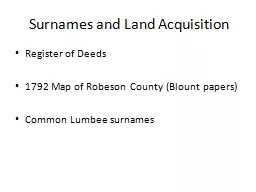
Surnames and Land Acquisition
Register of Deeds
1792 Map of Robeson County (Blount papers)
Common
Lumbee
surnamesSlide2
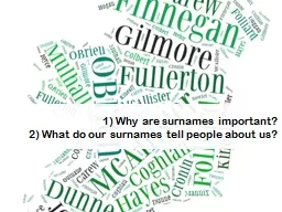
MapSlide3
Surname Legend
1 – Ten Mile Swamp – Wilkins
2 – Back Swamp –
Chavis
, Lowery
3 –
Ashpole
Swamp –
Chavis
, Locklear, Lowery
4 – Shoe Heel Swamp –
Chavis
,
Driggers
5 – Long Swamp –
Chavis
, Locklear, Lowery
6 – Raft Swamp –
Braveboy
7 – Hog Swamp – Drinkwater
8 – Juniper Branch – LowerySlide4
Conclusion
Overall, it seems that at this point the general ethnic and cultural components of modern-day Robeson County had already been established, with many different groups migrating to the area during the 18th century, but their interrelationship was still relatively minimal and cultural boundaries were still very clearly defined and for the most part adhered to.