
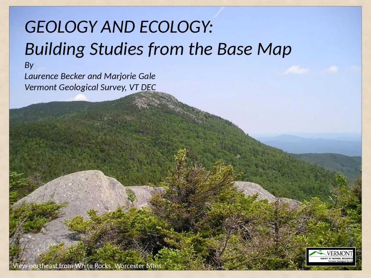
Worcester Mtns GEOLOGY AND ECOLOGY Building Studies from the Base Map By Laurence Becker and Marjorie Gale Vermont Geological Survey VT DEC Bedrock Geologic Map of Vermont 2011 by NM Ratcliffe RS ID: 1026474
Download Presentation The PPT/PDF document "View northeast from White Rocks," is the property of its rightful owner. Permission is granted to download and print the materials on this web site for personal, non-commercial use only, and to display it on your personal computer provided you do not modify the materials and that you retain all copyright notices contained in the materials. By downloading content from our website, you accept the terms of this agreement.


1. View northeast from White Rocks, Worcester Mtns.GEOLOGY AND ECOLOGY: Building Studies from the Base MapBy Laurence Becker and Marjorie GaleVermont Geological Survey, VT DEC
2. Bedrock Geologic Map of Vermont, 2011by N.M. Ratcliffe, R.S. Stanley, M.H. Gale, P.J. Thompson, & G.J. Walsh With contributions by: Hatch Jr., Rankin, Doolan, Kim, Mehrtens, Aleinikoff, & McHoneUSGS Scientific Investigations Map 3184.IntroductionTectonic MapExample of what’s newApplications and studiesLessors Quarry, Glens Falls Limestone, South Hero
3. 1961 -Stratigraphy137 rock units 1:62,500 scale mapsCompiled at 1:250,0002011- Plate tectonics 486 rock units1:24,000 scale mapsCompiled at 1:100,000Geology represents fault-bounded slices of rock1861 - Ores24 map unitsScale 1:400,0002011
4. Plate tectonic interpretationsShows type of bedrock at or near the surface Predicts geology at depthMap Elements: Topographic base map Bedrock units, Cross-sections, Tectonic Map, CMU, DMU, Geochronology, References, & GISBEDROCK GEOLOGIC MAP OF VERMONT, 2011, by N.M. Ratcliffe, R.S. Stanley, M.H. Gale, P.J. Thompson, & G.J. Walsh: USGS Scientific Investigations Map 3184. With contributions by: Hatch Jr., Rankin, Doolan, Kim, Mehrtens, Aleinikoff, & McHone
5. Deposition and deformation associated with the opening (deposition) and closing (deformation) of the Iapetus Sea from the Late Proterozoic to Devonian time and….Opening of the AtlanticChange is recorded in the rock record: Glimpses of .95 to 1.4 billion years in ProterozoicRocks plusVermont as we know it does not exist.
6. Northern Appalachian map (Hibbard and others, 2006)
7. Laurentian margin - Proterozoic basement plus cover rocks (rift clastics & volcanics; quartzites, carbonates, shales of Champlain &VT Valleys)Transitional margin rocks of the Green Mountain Anticlinorium – Rowe/Stowe/Ottauquechee plus rift to morbOrdovician accreted rocks of the Moretown-Hawley belt and Bronson Hill arch – metasedimentary rocks and arc volcanicsCT Valley Trough – post Taconian metasedimentary rocksIntrusive Rocks – Silurian, Devonian and CretaceousTectonic elements:
8. Lithotectonic packages – Geology represents fault-bounded slices of rock, the result of plate tectonic collisions Shows the juxtaposition of rocks from a variety of geologic settings2. 51 new age dates – Mesoproterozoic (1.4 billion years) to Miocene (20 million years). Oldest dated rocks are in S Londonderry, VT; youngest unit is the Brandon lignite, a deposit of brown coal and clay, dated as 20 mya based on fossil seeds and flora. 3. Rock geochemistry - provided data to discern plate tectonic environments such as rifted or broken apart continental crust, mid-ocean ridge spreading centers, and volcanic island arcs. 4. Cross-sections are projected to a depth of 10 km. Age, geochemistry, structure, and plate tectonic environment impact the interpretations shown in the cross-sections.
9. Fault slices, Windows, Conodonts, and VolcanicsUnderhill slice, Green Mtn sliceEx. 1: West Bolton: detailed mapping by Thompson and Thompson; age and fossil data to provide control on faults and stratigraphy1961 – Coherent stratigraphy2011 – Multiple folded thrusts
10. Text and photographs from John Repetski, USGSSTRATIGRAPHY, STRUCTURE & CONODONTSMineralized teeth of an extinct marine animal, Most elements are 0.1 – 1 mm longUsed for biostratigraphy since 1920’sUpper Cambrian – Triassic; organic matter color indicates heat from burial and metamorphism so use for depth estimates, Harris calibrated a Color Alteration Index (CAI)
11. Middle Ordovician conodonts from a dolostone lens in carbonaceous schist in the West Bridgewater Fm. A-G: Periodon Aculeatus Hadding? , H-I: ProtopanderodusRatcliffe, Harris and Walsh, 1999: Conodonts found in VT’s deformed, metamorphic cover rocks
12. West BoltonCahabagnathus chazyensis or C. sweetiBuels GoreLeptochirognathus quadratus. Both sitesPhragmodus, Plectodina or Aphelognathus460 -463 MaWest Bridgewater 470 - 454 Unconformity at baseFigure from Peter Thompson
13. Conodont biofacies is 463 to 460 Ma 573 Ma volcanic In CZph (CZf, CZhn)Taconian thrustRocks are Ordovician not Lower Cambrian
14. Anticline in the Monkton Quartzite at Raven Ridge, Monkton, VTWildlife corridor, rare or uncommon communities, 142 bird species, home to bobcats, ravens and the Indiana bat (endangered)
15. Uses of our maps?Ecology, LTM of acid lakes, biodiversity, forest health, till model Marshfield
16. Biodiversity is dependent on bedrockBoreal acidic cliff, MarshfieldEcology and Physical Setting: Limestone Bluff Cedar-Pine Forests occur on limestone, dolomite, and calcareous shale bluffs and outcrops along the rocky headlands of Lake Champlain. Soils are very shallow…
17. Long Term Monitoring of lakes by Vermont Monitoring, Assessment and Planning Program, Watershed Management, VT DEC 12 lakes in programGrout Pond
18. Grout Pond on 1961 and 2011 bedrock geologic mapspCpCgY1,2bgY2ggY2aY2rsY3CbsaSite characterization: 4 rock types instead of 1 underlie pond Why does acid rain affect some lakes more than others? Lakes most sensitive to acid rain are small, at high elevation, and in areas with low buffering bedrock. Most of our highly acidic lakes are found in the southern Green Mountains.
19. Characterization of 12 lakes – watershed properties and geology byMegan Euclide and Jim Kellogg at VT DEC
20. Gus Goodwin’s study at UVMUSFSScott Bailey, Northern Research StationCalcium content of regional bedrock and Till Source Model predictions for calcium content of unweathered glacial till in the Green Mountain National Forest, VT. Calcium and forest health in the GMNF
21. Geochemistry for forest health, groundwater, surface water, other ecological and environmental health studiesChemistry Glacial depositsBedrock
22. Vermont Land Type AssociationsForest Sensitivity to Acid Deposition
23. Smugglers Notch, VTPhoto – Tom EliassenWhat lies beneath our forests, lakes and biological communities?