
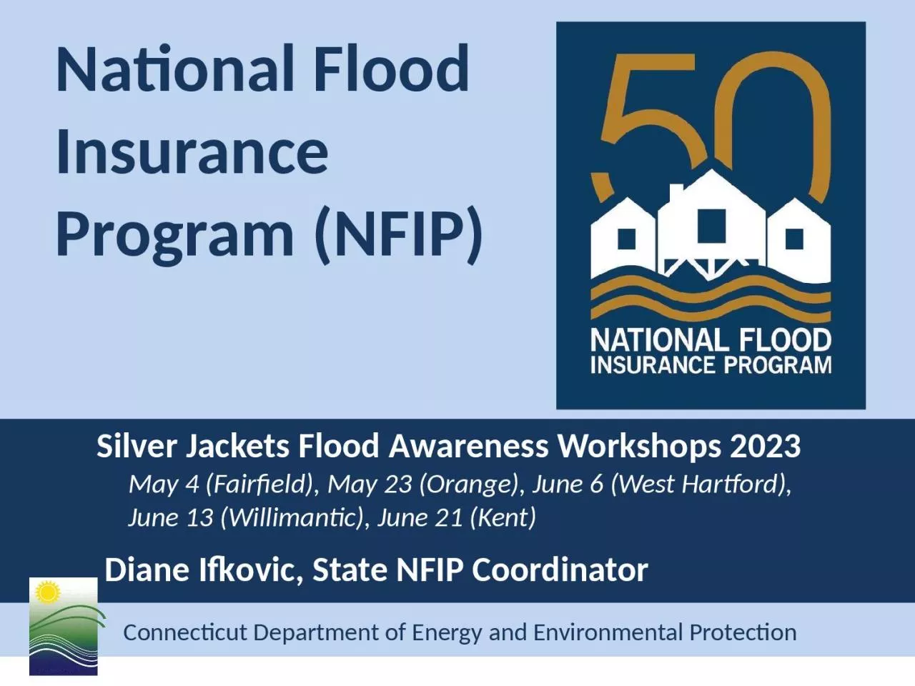
Silver Jackets Flood Awareness Workshops 2023 May 4 Fairfield May 23 Orange June 6 West Hartford June 13 Willimantic June 21 Kent Diane Ifkovic State NFIP Coordinator ID: 1022408
Download Presentation The PPT/PDF document "National Flood Insurance Program (NFIP)" is the property of its rightful owner. Permission is granted to download and print the materials on this web site for personal, non-commercial use only, and to display it on your personal computer provided you do not modify the materials and that you retain all copyright notices contained in the materials. By downloading content from our website, you accept the terms of this agreement.


1. National Flood Insurance Program (NFIP) Silver Jackets Flood Awareness Workshops 2023 May 4 (Fairfield), May 23 (Orange), June 6 (West Hartford), June 13 (Willimantic), June 21 (Kent) Diane Ifkovic, State NFIP Coordinator
2. Certified Floodplain Manager (CFM)This workshop is pre-approved for 6 Continuing Education Credits (CEC) from Association of State Floodplain Managers (ASFPM)
3. National Flood Insurance Program Programtory and Flood MapsBillion Dollar Betsy, hurricane 1965National Flood Insurance Act of 1968Flood Maps – FEMA produces flood mapsFlood Regulations – Communities must adopt the flood maps and minimum FEMA construction requirements into local zoning regulationsFlood Insurance – FEMA makes federal flood insurance available to property owners in NFIP participating communitiesNFIP
4. Roles and ResponsibilitiesFederal Emergency Management Agency State NFIP Coordinating Agency - CTDEEPCommunity (Town, City, Borough, Fire District, Association – regulates development through zoning)
5. Flood Maps and Flood StudiesThe NFIP is administered by the Federal Emergency Management Agency (FEMA). Flood Insurance Rate Map (FIRM)Primary floodplain management tool. It all starts with the FIRM.Product of the Flood Insurance Study (FIS). Identifies flood zones in your communityProduct is used by many audiencesGovernment OfficialsLenders Insurance AgentsSurveyorsDesign ProfessionalsRealtorsResidents
6.
7. What is the 100-Year Floodplain?Flood FringeFloodwayFlood Fringe100 Year Floodplain1 ftBase Flood Elevation (BFE)The 100-year floodplain is the land subject to a 1% or greater chance of flooding in any given year. It is also called the Special Flood Hazard Area (SFHA) by FEMA. Floodway is the channel and adjacent land reserved in order to discharge the base flood. Flood Zone AE & Zone A
8.
9. Coastal (VE and Coastal AE Zones)
10.
11. Mapping Process TimelineDiscovery MeetingWork MapsEffective FIRM/FISLetter of Final Determination(LFD)6 months6 MonthsOrdinance/Reg ReviewFEMA Public Open HousePreliminary FIRM/FISConsultation Coordination Officer (CCO)meeting90-Day AppealPeriodFEMA ResolvesAppealsNewpaper NoticesCongressional Appropriation $
12. CT Flood Map Updates - Watersheds Quinebaug River Watershed New London County – Griswold, Jewett City, Lisbon, North Stonington, Preston, Voluntown Effective Maps August 1, 2023 Windham County – Brooklyn, Danielson, Killingly, Plainfield, Pomfret, Putnam, Sterling, Thompson Effective Maps September 7, 2023
13. CT Flood Map Updates - Watersheds Saugatuck River Watershed 20 communities in Fairfield CountyPreliminary maps/study end of May 31, 2023Farmington River Watershed 23 communities in Hartford & Litchfield CountiesHartford County – prelim maps/study June 1, 2023Litchfield County – prelim maps/study April 14, 2024
14. CT Flood Map Updates - Watersheds Thames River Watershed 16 communities in New London CountyWork maps June 20, 2023Shetucket River Watershed 23 communities in New London, Tolland and Windham CountiesWork maps June 20, 2023
15. CT Flood Map Updates - Watersheds Housatonic River Watershed 54 communities in Fairfield, Hartford, Litchfield & New Haven CountiesIncludes levee study on Naugatuck River (Ansonia & Derby)Work maps December 6, 2023Lower Connecticut River Watershed 45 communities in Hartford, Middlesex, New London and Tolland CountiesWork maps September 12, 2023
16. CT Flood Map Updates – Coastal Coastal Erosion Study Non-regulatory product to be used for planning purposes.Covers all coastal towns in Connecticut.FEMA Contractor doing field work in New London County week of May 22, 2023, and other counties June-July 2023.Coastal Re-Mapping StudyFEMA will be staring a new coastal remapping study soon, final effective maps are years away
17. Where can I get a FIRM or FIS?https://msc.fema.gov/portal/homeHard copy in town hall- planning, zoning, engineering, building, town clerk, can reprint from MSC
18. Floodplain RegulationsTo participate in the NFIP, municipality must adopt and enforce floodplain management regulations or ordinance that meet FEMA minimum standardsCurrently, ALL Connecticut municipalities participates in the NFIP! Mortgages (Mandatory Purchase Requirement)Federal Disaster Assistance for community (Public Assistance – PA $$$)
19. Permits and EnforcementMunicipality enforces the federal NFIP standards through local zoning and building permit processZoning PermitDevelopment PermitBuilding PermitLand Use PermitFloodplain Permit
20. State Building Code Update 2015 International Residential Code (IRC) adopted October 1, 20182021 IRC adopted October 1, 2022Section R322, Flood-Resistant ConstructionAE and A Zones – Lowest floor elevated to BFE plus 1 footCoastal AE and VE Zones – Bottom of the lowest horizontal structural member supporting the lowest floor elevated to BFE plus one foot on pier, post or pile foundation. Coastal AE zone breakaway walls must also contain flood vents.Coastal High Hazard Area now includes VE zones and Coastal AE zonesCoastal AE zone defined by the Limit of Moderate Wave Action (LiMWA) line on a FIRM. Area with wave action between 3.0 - 1.5 ft.
21. Hydrostatic ForcesWeight of standing water on a structure exerts a horizontal force. The deeper the water, the more it weighs and the greater the hydrostatic pressure. Installation of flood vents allow pressure to equalize so foundation does not collapse.
22. Hydrostatic Forces
23. Hydrodynamic ForcesMoving water creates hydrodynamic forces that can create frontal impacts, drag effects, and negative pressure (suction). This can destroy the foundation or move a structure off its foundation.
24. Hydrodynamic Forces
25. Buoyant ForcesUpward force, up thrust
26. Debris Impact ForcesTanks, logs, lumber, ice, boats, vehicles
27. Elevated ResidentialStructures in Riverine AE & A ZonesLowest floor must be elevated at or above BFE BFE+1
28. At Least One Side at GradeFlood VentsMinimum 2 vents on adjacent wallsSq. inches vent = square feet of enclosed areaOpenings may be equipped with screens, louvers, valves or other coverings or devices provided they allow automatic entry and exit of flood waterBottom of vent no higher than 1 ft above gradeArea below BFEfay be used for:1) Parking2) Building Access3) Limited StorageNo utilities or finishings Fully Enclosed Areas Below BFEFEMA Technical Bulletin 1, Openings in Foundation Walls and Walls of EnclosuresFEMA Technical Bulletin 2, Flood Damage Resistant MaterialsFEMA Technical Bulletin 7, Wet Floodproofing RequirementsWet Floodproofing, relieves hydrostatic pressureBFE+1
29. FEMA Technical Bulletin 11- Crawlspace Construction for Buildings in the Special Flood Hazard AreaBelow grade crawlspaces are considered “basements” under the FEMA definition. They can only be allowed if specific language is adopted into your local ordinance. Below grade crawlspaces will also incur increased insurance costs.Wet Floodproofing
30. Inland Non-Residential (A & AE)BFEFEMA Technical Bulletin 3 – Non-Residential FloodproofingFEMA 102, Floodproofing Non-Residential StructuresFEMA P-936, Floodproofing Non-Residential BuildingsBFE+1 ftDry Floodproofing
31. 68/2 = 342/3 (8)16,772 LBS120,560 LBS16,169LBS10/2 = 5UPLIFT ON STRUCTUREVE & Coastal AE Zone ConstructionLowest horizontal structural member above BFE. No utilities below BFE. Parking, access, storage.Pier, post, or pile foundation and no fill for structural support. No alteration of sand dunes.Breakaway walls, lattice or open design (free of obstruction).Building be certified to withstand both wind and water loads acting on it (engineer, architect). FEMA Technical Bulletin 5 – Free of ObstructionFEMA Technical Bulletin 4 – Elevator InstallationFEMA Technical Bulletin 9 – Design and Construction Guidance for Breakaway Walls
32. Homeowner’s versus Flood InsuranceWater that falls from the sky that damages your home is covered by your Homeowner’s Insurance Policy.Broken pipe, sewer backflow covered by homeowner’s policy or separate policy rider.If water flows over the ground from a watercourse or ocean, it is covered by a separate flood insurance policy.
33. Risk Rating 2.0 – October 1, 2021Fundamental change to rating flood risk.Individualized property risk.Many more data points used in rating algorithm.Federal and commercial data sets.Rates that are easier to understand for agent and policyholder.New policies rated with RR 2.0 on October 1, 2021.Renewed policies rated with RR 2.0 on April 1, 2022.Previous grandfathering rules/rates slowly phased out to actuarial rate.
34. Risk Rating 2.0 - Rating CriteriaDistance to the flooding source/waterStream orderBroader range of flood frequencies (10, 50, 100, 500 year)Flood type (coastal, riverine, ponding)Ground elevation (topography)First floor height (not basement floor height)Number of floorsFoundation type (slab on grade, crawlspace, basement, elevated)Construction type (wood, masonry)Building occupancy (residential, commercial)Prior claimsCost to rebuild (affordability)
35. Legacy Rating (Old Rating Structure)Flood zone from the flood mapBase flood elevation ( BFE)Lowest floor elevationFoundation Type Date of ConstructionElevation Certificate is optional for rating under RR2.0 but can be helpful for proper rating
36. Risk Rating 2.0 - Mitigation DiscountsFlood VentsElevation of machinery and equipment to first floor or aboveDry floodproofing of non-residential structure
37. Questions?Diane Ifkovic, State NFIP CoordinatorPhone: (860) 424-3537Email: diane.Ifkovic@ct.gov