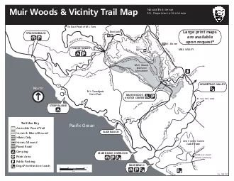
Rd Matt Davis TrailPaci31c OceanMt TamalpaisTo East Peak of Mt TamMILL VALLEYTrailMuir WoodsTo Hwy 101 GASZen CenterGreen Gulch FarmMUIR BEACHSTEEP RAVINESLIDE RANCHoaeTr11111MUIR BEACH OVERLOOKPANT ID: 880387
Download The PPT/PDF document "Muir Woods Vicinity Trail MapNational P..." is the property of its rightful owner. Permission is granted to download and print the materials on this web site for personal, non-commercial use only, and to display it on your personal computer provided you do not modify the materials and that you retain all copyright notices contained in the materials. By downloading content from our website, you accept the terms of this agreement.