/
Benefits of Drone Surveying and Mapping for the Power and Utility Sector Benefits of Drone Surveying and Mapping for the Power and Utility Sector

Benefits of Drone Surveying and Mapping for the Power and Utility Sector - PDF document

Eyebot
Eyebot . @Eyebot
Follow
67 views
Uploaded On 2023-08-02

Benefits of Drone Surveying and Mapping for the Power and Utility Sector - PPT Presentation

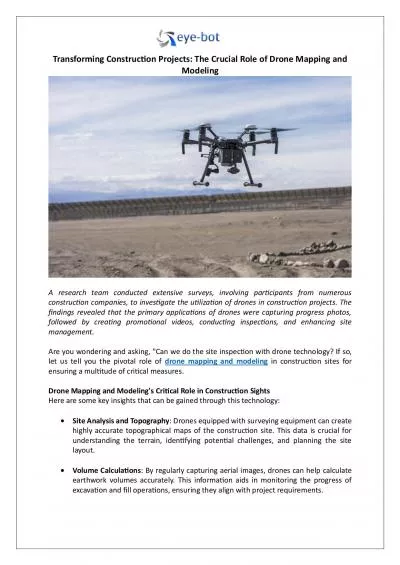
The use of drone technology in various industries is not new You may have heard how aerial solutions help in 3D assets visualization It proves to be beneficial for the architectural construction and oil and gas industries ID: 1013142

3D assets visualization

Share:

Link:

Embed:

Download Presentation from below link

Download Pdf The PPT/PDF document "Benefits of Drone Surveying and Mapping ..." is the property of its rightful owner. Permission is granted to download and print the materials on this web site for personal, non-commercial use only, and to display it on your personal computer provided you do not modify the materials and that you retain all copyright notices contained in the materials. By downloading content from our website, you accept the terms of this agreement.


Presentation Transcript

Benefits of Drone Surveying and Mapping for the Power and Utility Sector The use of drone technology in various industries is not new. You may have heard how aerial solutions help in 3D assets visualization . It proves to be beneficial for the architectural, construction, and oil and gas industries. But have you ever wondered about the benefits of drone surveying and mapping for the power and utility sector? Well, the advantages are many. Read on to find out the prominent ones. #1 Power Line Inspections You can simply step out and see power lines almost e verywhere in the world. There are over 200,000 miles of transmission lines and 5.5 million miles of local distribution lines in the US alone. ( https://www.utilityproducts.com/safety/article/16025854/transmission - lines - aerial - power - line - inspection ) However, the question is how safe are these power lines? Are they regularly checked? The unchecked power lines can give rise to a risk of injury and may even result in death. No doubt, regular checking is vital. But traditional or manual methods of power line in spection can be time - consuming and risky. There is a high chance of electrocution. That is exactly where drone surveying and mapping come s into the picture. It proves to be an efficient and cost - effective way of inspecting the power lines. Through drone su rveys, it is possible to cover larger areas in much less time. As a result, conducting frequent checks, getting regular updates, and resolving potential issues faster becomes possible. Moreover, it can even lower the costs by about 50%. #2 Inspecting Sew er Systems Inspecting the wastewater infrastructures isn’t an easy task. It comes with a lot of challenges. One of the hurdles is that they are hidden underground. In an emergency, gaining insights into the severity of the situation is vital to take approp riate measures. However, if you rely on manual methods, it can consume a lot of time and can be too dangerous. At times, it may not be even possible. In such a situation, drone surveying and mapping can be your best bet. It can easily collect valuable in formation from the hard - to - reach spaces. With accurate data, utility companies can identify the exact problem and fix it at the earliest. #3 Reduce the Risk of Outages Traditionally, power outages were common due to the failure of the power lines. However , with aerial solutions, it becomes easy to inspect them frequently and create effective action plans. As a result, reducing the risk of power outages becomes simple and easy. #4 Water Utility Mapping Utility companies require keeping track of their infra structure to ensure a reliable supply of water. However, it isn’t easy as it appears to be. Drains and sewer pits often remain hidden in the private yards. So, planning site visits can be a hassle. Drone mapping proves to be a game - changer in this case. It can fly over the properties and provide utility companies with useful data. As a result, ensuring optimum maintenance and smooth delivery of services becomes easy. Conclusion The application of drone surveying and mapping is expanding in the power and u tility sector. Are you ready to experience the power of drones like Elios 2 Confined Space ? Looking for the best drone mapping or 3D laser scanning services ? If yes, you can always trust Eye - Bot for all your needs. From architectural laser scanning to aerial surveying, the professionals can assist you with everything.