PPT-LiDAR and Geoscience Education
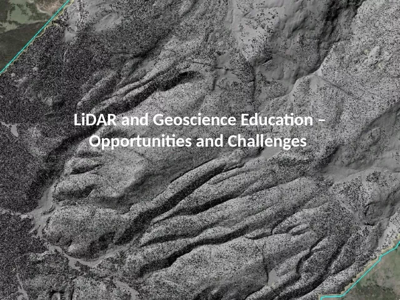
Opportunities and Challenges Topic Topographic measures mapping visualization Geographic Information Systems Earth Science Literacy Initiative ESLI 2009 Earth scientists
Download Presentation
"LiDAR and Geoscience Education" is the property of its rightful owner. Permission is granted to download and print materials on this website for personal, non-commercial use only, provided you retain all copyright notices. By downloading content from our website, you accept the terms of this agreement.
Presentation Transcript
Transcript not available.