/
Marine Planning in British Columbia Marine Planning in British Columbia

Marine Planning in British Columbia - PowerPoint Presentation

Tornadomaster
Tornadomaster . @Tornadomaster
Follow
342 views
Uploaded On 2022-08-02

Marine Planning in British Columbia - PPT Presentation

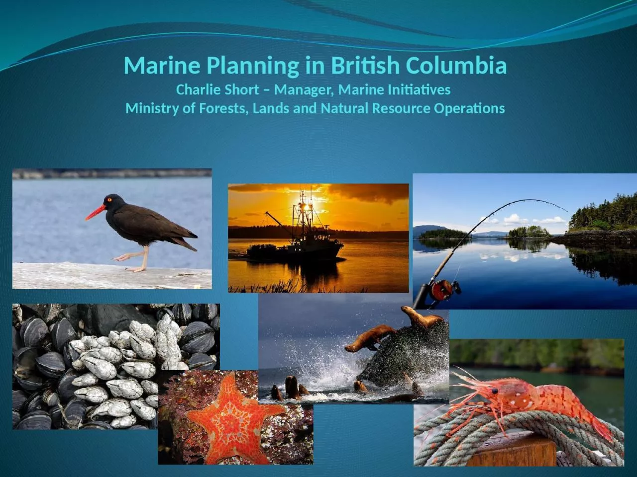
Charlie Short Manager Marine Initiatives Ministry of Forests Lands and Natural Resource Operations Presentation Overview Overview of jurisdiction and roles of responsible governments What role does the province play in marine planning ID: 932870

planning marine nations coast marine planning coast nations coastal north amp gov province mapp area partnership island british vancouver

Share:

Link:

Embed:

Download Presentation from below link

Download Presentation The PPT/PDF document "Marine Planning in British Columbia" is the property of its rightful owner. Permission is granted to download and print the materials on this web site for personal, non-commercial use only, and to display it on your personal computer provided you do not modify the materials and that you retain all copyright notices contained in the materials. By downloading content from our website, you accept the terms of this agreement.


Presentation Transcript

Slide1

Marine Planning in British Columbia

Charlie Short –

Manager, Marine

Initiatives

Ministry of Forests, Lands and Natural Resource Operations

Slide2

Presentation Overview

Overview of jurisdiction and roles of responsible governments

What role does the province play in marine planning

Marine Planning Partnership for the North Pacific Coast (

MaPP

)

Other Marine Planning Initiatives – lay of the land

Slide3

What is the Province’s Jurisdiction in the Marine

Environment?

Province has legislative jurisdiction over public ‘crown’ coastal lands,

inland waters and seabed lying “between the jaws of the land” (“intra

fauces terrae”) (i.e., bays, estuaries, inlets, fjords, channels, sounds)

Federal government has legislative jurisdiction over resources in the water column (e.g., fish) and regulates activities on the ocean surface (e.g., shipping)

Local governments also influence management in the coastal zone through by-laws & local government plans.

First Nations also have rights & title in the coastal zone & marine waters, use coastal & marine areas for cultural and spiritual purposes, and have developed coastal plans in traditional territories.

Most modern day marine planning initiatives require multi-party

MoUs

, collaborative governance models and are supported by multi-partner funding agreements.

Note: This is not a legal interpretation, nor a position statement of the Province of British Columbia; nor does it address First Nations’ rights and title.

Slide4

Provincial authorizations in the coastal zone

Tenured Uses

Shellfish Beach Aquaculture

Shellfish

Deepwater

Aquaculture

Marine Plant Aquaculture

Finfish Aquaculture

Marine Residential

Floating Lodges & Camps

Boat Launches

Commercial Recreation Guiding

Log Booming Grounds

Log Handling Facilities

Helicopter Log Drops

Commercial Uses

Tenured Uses (cont’d)

Private Residential MoorageLight Docks, Wharves & FacilitiesHeavy Docks, Wharves & FacilitiesMarine Telecommunications & UtilitiesConservation (i.e., MPAs)

Non Tenured Activities

First

Nations Uses

Commercial Fisheries

Public Recreation

Marine Transportation

Slide5

Natural Resources Sector Administrative Boundaries

NRS Boundaries

Skeena Region

West Coast Region

South Coast Region

Generally reflect “jaws of land” and extend ~ 5km (3nm) seaward on outer coast.

Slide6

Marine Planning in British

Columbia

Slide7

What is the Marine

Planning Partnership?

The Marine Planning Partnership for the Pacific North Coast (MaPP) is a

collaboration between:Province of B.C.,

as represented by the Ministry of Forests, Lands and Natural Resource Operations

Coastal First Nations – Great Bear InitiativeNorth Coast-Skeena First Nations Stewardship Society

Nanwakolas Council

These First Nations entities represent 20 individual First Nations

Letter of Intent (LOI):

Signed in November, 2011

Agreement on the structure of the MaPP initiative and outlining key planning deliverables

Memorandum of Understanding (MoU) for a Marine Planning Partnership Support Fund - supplements the existing resources of the parties

.

Slide8

The intent of the MaPP initiative is to create four coastal and marine plans, accompanied

by Implementation agreements, in four sub-regions the North Coast, the Central Coast, North Vancouver Island and Haida

Gwaii, by December 2013. Partner First Nations and the Province of B.C. share planning

priorities including:Collaboration between governments

An Ecosystem-based Management approach that strives to balance ecological and human needs including: Integrated Economic Strategies Marine Protected Areas (MPAs)

Climate Change Cumulative Effects

Marine Spatial PlansMaPP will bring together the best available science, traditional knowledge and input from robust public and stakeholder engagement.  

MaPP Intended Results

Slide9

Budget, work plan and scope planning work defined;

Staff hired;ToRs for governance committees and technical groups;

ToR for Stakeholder Committees; including a schedule for meetings;Science Advisory Committee established with

ToRAdvisory committee meetings start late May

early June

Where are we now with MaPP

?

Slide10

A strategic planning initiative in a partnership between DFO, FN and the Province of BC. Same planning area as MaPP. Completion date – December 2012

Key outputs are:An EBM framework – goals, objectives, strategies

 Priority marine values – ecological, social, economic, cultural

Risk Assessment for identified values 

The Pacific North Coast Integrated Management (PNCIMA)

West Coast Aquatics (WCA)

A planning initiative on the west coast of Vancouver Island. Directed by a board consisting of th

e province, DFO, local government, stakeholders and First Nations. Completion date – 2012-2013

Key outputs are:

Strategic plan for west coast Vancouver Island

Marine Spatial Plans for

Clayoquot

Sound and Barkley Sound.

Slide11

A Canada-British Columbia Marine Protected Network Strategy

has been drafted for British Columbia in collaboration with federal agencies. The strategy outlines a vision, goals and specific design principles for a BC network of MPAs.

Race Rocks Ocean’s Act MPA—This is a proposed MPA by the Department of Fisheries and Oceans (DFO) as an area of interest. Consultations with public, First Nations, and stakeholders are ongoing. The area is currently a provincial ecological reserve.

Southern Strait of Georgia National Marine Conservation Area—The Provincial/Federal working group is nearing completion of a feasibility assessment for a National Marine Conservation Area in the Southern Strait of Georgia. Current focus is communication and consultation with

First Nations. Sponge Reefs Ocean’s Act MPA—This is a proposed MPA by the Department of Fisheries and Oceans (DFO) as an ‘area of interest’. Location is Hecate Strait.

Marine Conservancy Boundaries— Consultation is ongoing with Coastal First Nations regarding Central/North Coast LRMP and

Haida Gwaii SLUA conservancy marine boundaries recommendations.

Scott Island National Marine Wildlife Area (MWA)

—Environment Canada’s Canadian Wildlife Service (CWS) proposes to establish a MWA centred on the Scott Islands.

Marine Protected Area (MPA) Planning

Slide12

Who’s who in Marine Planning

Key Provincial Contacts

Director, Resource Management objectives Branch

Allan Lidstone – allan.lidstone@gov.bc.ca

Manager – Marine Initiatives Charlie Short – charles.short@

gov.bc.caMarine Planning Partnership – Sub-Regional PlannersHaida

Gwaii – Berry Wijdeven – berry.wijdeven@gov.bc.ca

North Coast – Steve Kachanoski –

steve.kachanoski@gov.bc.ca

Central Coast – Sally Cargill –

sally.cargill@gov.bc.ca

North Vancouver Island – Keeva Kehler – keeva.kehler@gov.bc.caAdministrative Support / Research – Marjan Etemadi – marjan.etemadi@gov.bc.caWest Coast Aquatic - Marine Planner

West Coast Vancouver Island – Bill Zinovich – bill.zinovich@gov.bc.ca

Slide13

Thank You!

Questions