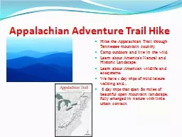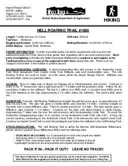
PDF-A good backpacking hike with access to the Avalanche Creek Trail, West
Author : calandra-battersby | Published Date : 2017-11-26
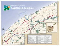
Drive 14 miles west of Aspen 7 miles oneway 113 km nt of Agriculture This map is intended for use as a general guide only not for actual land navigation The Whi
Presentation Embed Code
Download Presentation
Download Presentation The PPT/PDF document "A good backpacking hike with access to t..." is the property of its rightful owner. Permission is granted to download and print the materials on this website for personal, non-commercial use only, and to display it on your personal computer provided you do not modify the materials and that you retain all copyright notices contained in the materials. By downloading content from our website, you accept the terms of this agreement.
A good backpacking hike with access to the Avalanche Creek Trail, West: Transcript
Download Rules Of Document
"A good backpacking hike with access to the Avalanche Creek Trail, West"The content belongs to its owner. You may download and print it for personal use, without modification, and keep all copyright notices. By downloading, you agree to these terms.
Related Documents