PDF-Datum Line for Stage
0
10
20
Graphical Scale m
5
15
60
5141
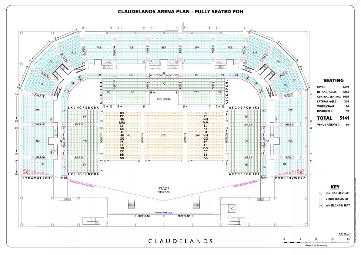
36
SEATING
TOTAL
W
RESTRICTED VIEW
VENUE RESERVED
WHEELCHAIR SEAT
KEY
RETRACTABLES
WHEELCHAIR
LATERAL AISLE
RESTRICTED
UPPER
2409
258
VENUE
Download Presentation
"Datum Line for Stage" is the property of its rightful owner. Permission is granted to download and print materials on this website for personal, non-commercial use only, provided you retain all copyright notices. By downloading content from our website, you accept the terms of this agreement.
Presentation Transcript
Transcript not available.