/
How Aura transformed air quality research How Aura transformed air quality research

How Aura transformed air quality research - PowerPoint Presentation

emery
emery . @emery
Follow
0 views
Uploaded On 2024-03-15

How Aura transformed air quality research - PPT Presentation

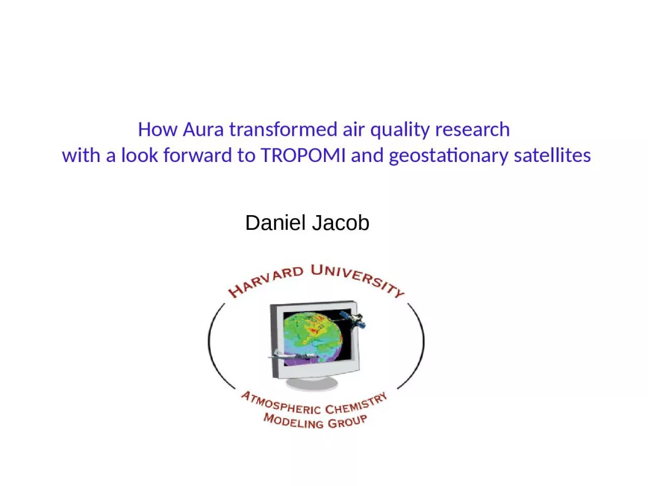
with a look forward to TROPOMI and geostationary satellites Daniel Jacob I couldnt say it better 7 httpsauragsfcnasagovsciencefeature20160428html TES first direct retrievals for global tropospheric ozone ID: 1048461

no2 omi emissions ozone omi no2 ozone emissions nox decrease emission 2005 km2 air so2 formaldehyde 2011 2006 2017

Share:

Link:

Embed:

Download Presentation from below link

Download Presentation The PPT/PDF document "How Aura transformed air quality researc..." is the property of its rightful owner. Permission is granted to download and print the materials on this web site for personal, non-commercial use only, and to display it on your personal computer provided you do not modify the materials and that you retain all copyright notices contained in the materials. By downloading content from our website, you accept the terms of this agreement.


Presentation Transcript

1. How Aura transformed air quality research with a look forward to TROPOMI and geostationary satellitesDaniel Jacob

2. I couldn’t say it better…7https://aura.gsfc.nasa.gov/science/feature-20160428.html

3. TES: first direct retrievals for global tropospheric ozoneTES 500 hPa ozone (2006) GEOS-Chem model (TES AK) shows mid-latitude pollution belt and global influence from tropical fires, tests global modelsTES 500 hPa ozone (2006)Zhang et al., 2010GEOS-Chem model (TES AKs)

4. Increasing Chinese influence on tropospheric ozone seen by TES Ozone-CO relationship offshore of E Asia 2005-2011 ozone trend over ChinaOzone, ppbCO, ppbTES ozone (ppb) Models Ozone, ppb2005 20119040TESGEOS-ChemJuly 2005Zhang et al. [2006], Verstraeten et al. [2014]

5. NO2Reversal of Chinese emission trends observed by OMISO2HCHOMean of satellite productsYangtze River Delta70% decrease over 2013-2017(Clean Air Action)[Wang et al., 2018]Reversal in 2012, consistent with MEIC NOx emission inventory[Viral Shah, this afternoon]Formaldehyde (HCHO) is proxyfor VOC emissions: steady increase, no reversal[Lu Shen, tomorrow morning]2005 2010 2015

6. Using OMI HCHO/NO2 ratios to diagnose ozone production regimeOzone production can be limited by either NOx or VOCs2005-2013 OMI dataNO2HCHOHCHO/NO2 <1 <2 >2Ozone production in urban areas tends to be VOC-limited and VOC emissions have not been decreasing.Jin and Holloway [2015]

7. OMI NO2, summer 20052005-2011 decrease of US NOx emissions demonstrated by OMI observationsRussell et al. [2012]

8. OMI NO2, summer 2005OMI NO2, summer 201130% decrease in tropospheric NO2 from 2005 to 2011,consistent with EPA-reported NOx emission trends2005-2011 decrease of US NOx emissions demonstrated by OMI observationsRussell et al. [2012]

9. US NOx emissions have continued to decrease since 2011 according to EPA…but OMI tropospheric NO2 column observations suggest otherwise!OMI NO2 columns over CONUS, 2005-2016:flat after 2011EPA National Emission Inventory (NEI):53% sustained decrease of NOx emissions over 2005-2017% change relative to 2009Jiang et al., 2018Mobile sourcesIndustryNOx emissions, Mt a-1EPA, 2018What’s going on? Stay tuned for Rachel Silvern, this afternoon

10. Formaldehyde over US demonstrates abundance of biogenic VOCs……and a significant cancer riskAnnual mean OMI-derived surface formaldehyde, 2005-20166000-12000 people in US to develop cancer over their lifetimes from HCHO exposureZhu et al., 2017Circles:EPA data

11. New air pollution frontier: IndiaOMI reveals rapid growth in SO2 emissions from coal useLu et al., 2013

12. TROPOMI instrument launched in October 2017:Global daily mapping of NO2, formaldehyde, ozone, SO2, CO, methane for 3.5x7 km2 nadir pixels January-February 2017Yuzhong Zhang,HarvardJuly-August 2018

13. TROPOMI instrument launched in October 2017:Global daily mapping of NO2, formaldehyde, ozone, SO2, CO, methanefor 3.5x7 km2 or 7x7 km2 nadir pixels January-February 2019Yuzhong Zhang,Harvard

14. Geostationary constellation for air quality (2020-2022 launches)TEMPO(hourly)Sentinel-4(hourly)GEMS(hourly)KARI GEMS: Feb-Mar 2020 launch300-500 nm spectral range3.5x8 km2 pixelsNASA TEMPO: 2022 launch290-490 + 540-740 nm (for boundary layer ozone and SIF)2x5 km2 pixelsESA Sentinel-4: 2021 launch315-500 + 750-775 nm8x8 km2 pixels

15.

16. OMI observed post-2012 reversal of NOx emission trend in ChinaGovernmental Clean Air Action initiated strong emission controls starting in 2013Confirms trends in MEIC bottom-up Chinese inventorySteeper OMI NO2 trends in winter can be attributed to chemical feedbacks [presentation by Viral Shah this afternoon]Shah et al., 2019

17. OMI observes dramatic turnaround of Chinese SO2 emissionsMean OMI SO2 over China, 2006-2017OMI trend over Beijing region, 2006-201770% decrease of SO2 emissions over 2013-2017 period of Clean Air ActionWang et al. [2018]