PDF-Drone Survey & Aerial Inspection: Elevating Precision and Efficiency
Author : garudsurvey01 | Published Date : 2023-10-16
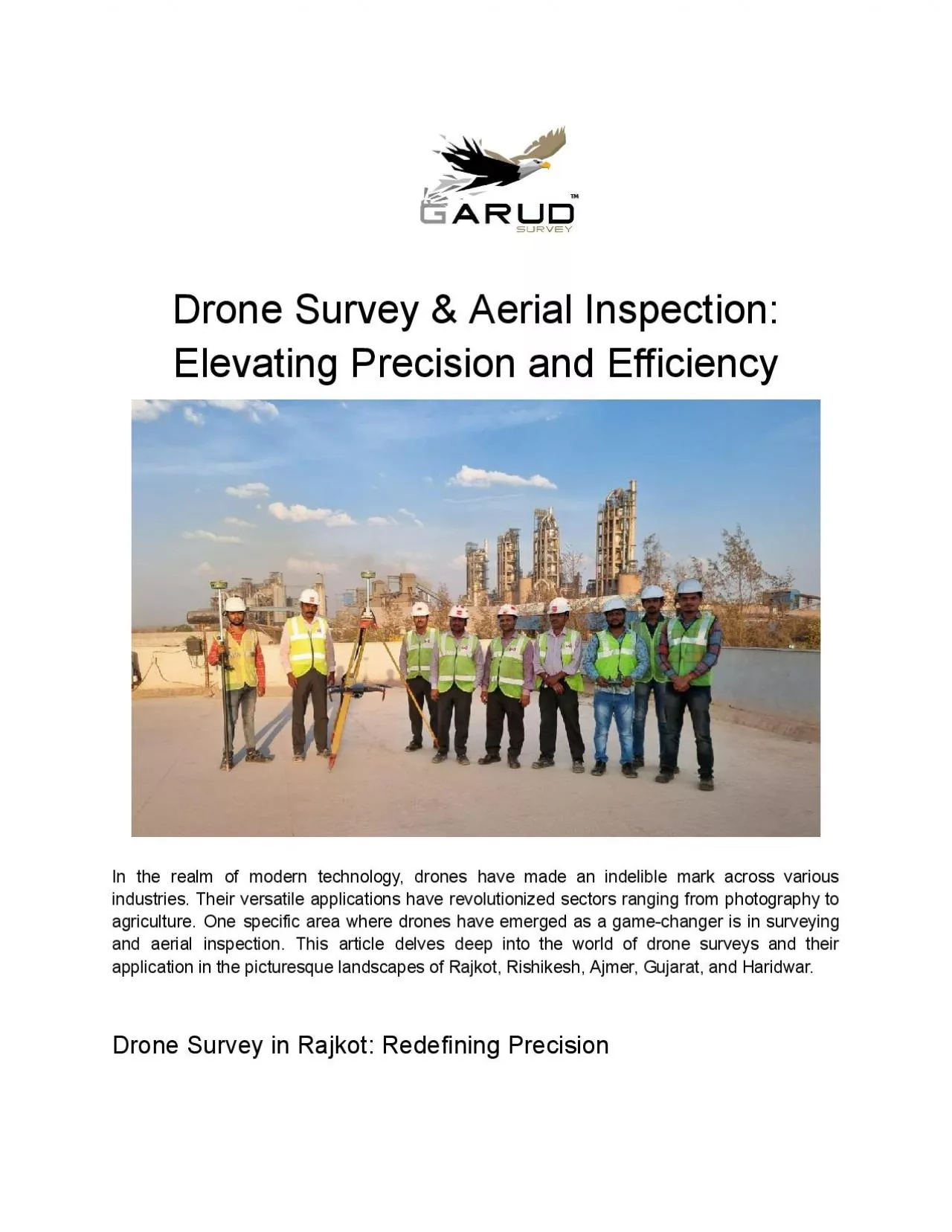
In the realm of modern technology drones have made an indelible mark across various industries Their versatile applications have revolutionized sectors ranging from
Presentation Embed Code
Download Presentation
Download Presentation The PPT/PDF document "Drone Survey & Aerial Inspection: Elevat..." is the property of its rightful owner. Permission is granted to download and print the materials on this website for personal, non-commercial use only, and to display it on your personal computer provided you do not modify the materials and that you retain all copyright notices contained in the materials. By downloading content from our website, you accept the terms of this agreement.
Drone Survey & Aerial Inspection: Elevating Precision and Efficiency: Transcript
Download Rules Of Document
"Drone Survey & Aerial Inspection: Elevating Precision and Efficiency"The content belongs to its owner. You may download and print it for personal use, without modification, and keep all copyright notices. By downloading, you agree to these terms.
Related Documents