/
TEMPO Validation Activities: TEMPO Validation Activities:

TEMPO Validation Activities: - PowerPoint Presentation

interviewpsych
interviewpsych . @interviewpsych
Follow
349 views
Uploaded On 2020-09-22

TEMPO Validation Activities: - PPT Presentation

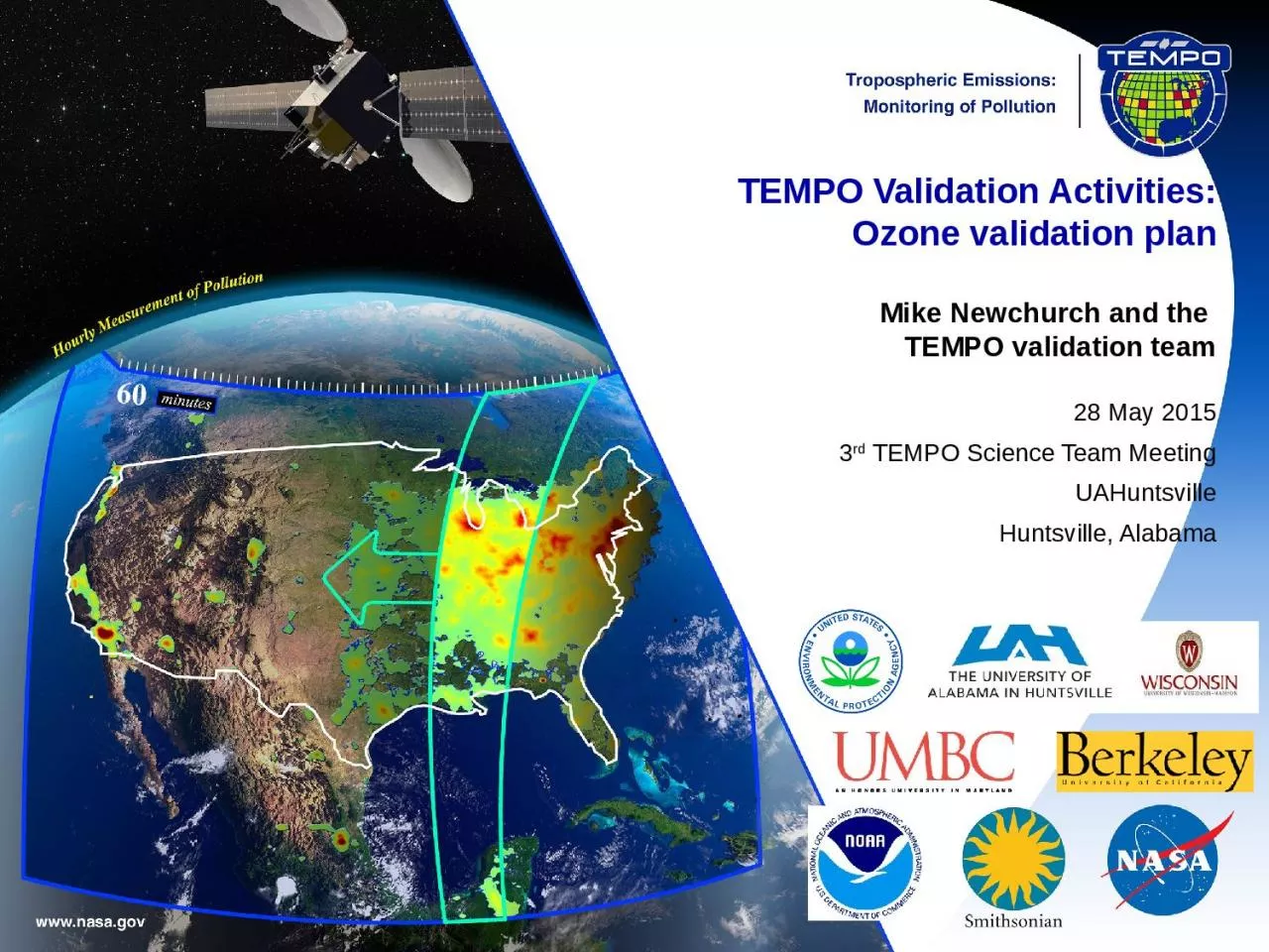
Ozone validation plan Mike Newchurch and the TEMPO validation team 28 May 2015 3 rd TEMPO Science Team Meeting UAHuntsville Huntsville Alabama O 3 Correlative data and Tools Correlative data ID: 812109

launch effort tempo validation effort launch validation tempo pandora level tolnet aircraft amp canada 15m post campaigns activities networks

Share:

Link:

Embed:

Download Presentation from below link

Download The PPT/PDF document "TEMPO Validation Activities:" is the property of its rightful owner. Permission is granted to download and print the materials on this web site for personal, non-commercial use only, and to display it on your personal computer provided you do not modify the materials and that you retain all copyright notices contained in the materials. By downloading content from our website, you accept the terms of this agreement.


Presentation Transcript

Slide1

TEMPO Validation Activities:Ozone validation plan Mike Newchurch and the TEMPO validation team28 May 20153rd TEMPO Science Team MeetingUAHuntsvilleHuntsville, Alabama

Slide2

O3 Correlative data and ToolsCorrelative dataGround-based (sfc, Pandora, lidar) and ozonesonde points, profiles, and columns.Aircraft and space-borne (best effort)Measured vs. modeled radiances (best effort)Measured and modeled geophysical products (best effort)Climatologies (best effort)Spatial and temporal gradients (best effort)Spatio-temporal distributions, captured gradients /patterns , scale effects (high (pixel level) and low (urban/regional) resolution pattern comparisons. Best effort.)ToolsColumn and profile bias and variances Averaging kernels and vertical sensitivity, correlationsError covariancesScale effectsInformation contentEigenanalyses/Principal Component AnalysesDFS

Slide3

Pre-launch and Post-launch ActivitiesPre-launch activities: Prepare data ingestSurface NetworksProfiling/column NetworksAircraft (best effort)Satellite instruments (best effort)Campaigns (best effort)Post-launch activities: Perform intercomparisonsSurface networks (some best effort)CAPABLE/LaRCPAMS/State&LocalSPARTAN (US & Canada)IMPROVENCore/EPAAirNow/EPA’MexicoProfiling/column Networks (distinguish which are TEMPO-funded and part of PLRA Level 1 requirements)TOLNet (best effort)NDACC (best effort)PANDORA (subset of US)Ozonesonde (subset of US)Dobson/Brewer (US & Canada, best effort)NAPS/Canada (best effort)Mexico (best effort) Aircraft (coordinate for best effort, e.g., EV suborbital or ACP campaigns)Geo-TASOACAM/GCAS Satellite instruments (coordinate for best effort, e.g., NRAs)TROPOMI

GOME-2NPP/OMPS

Slide4

Pre-launch and Post-launch ActivitiesMilestonesL-24M to LCoordinate ground-based assets operation and accessDevelop tools for intercomparisonsExercise forward modelsCreate and exercise Level 1 and Level 2 datasetsImplement validation toolsL+3M to L+15MPerform validation measurementsIntensive Campaigns (best effort)L+3M to L+15M: TOLNet, Pandora, O3sondes @ home locationsL+3M to L+15M: TOLNet, Pandora, sondes @ UC Berkeley (best effort)L+3M to L+15M: Aircraft (ACAM/GCAS, Geo-TASO) @ CA