PPT- OPEN SOURCE for ocean & islands Programme
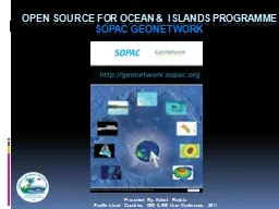
SOPAC GEONETWORK Presented By Keleni Raqisia Pacific Island Countries GIS amp RS User Conference 2011 OIP delivery is supported amp complemented by Technical Workshop
Download Presentation
" OPEN SOURCE for ocean & islands Programme" is the property of its rightful owner. Permission is granted to download and print materials on this website for personal, non-commercial use only, provided you retain all copyright notices. By downloading content from our website, you accept the terms of this agreement.
Presentation Transcript
Transcript not available.