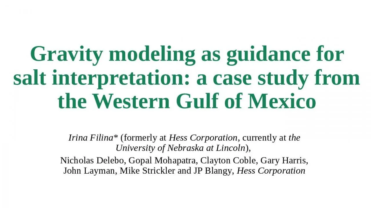
Mexico Irina Filina formerly at Hess Corporation currently at the University of Nebraska at Lincoln Nicholas Delebo Gopal Mohapatra Clayton Coble Gary Harris John Layman Mike Strickler and JP Blangy ID: 909430
Download Presentation The PPT/PDF document "Gravity modeling as guidance for salt i..." is the property of its rightful owner. Permission is granted to download and print the materials on this web site for personal, non-commercial use only, and to display it on your personal computer provided you do not modify the materials and that you retain all copyright notices contained in the materials. By downloading content from our website, you accept the terms of this agreement.
Slide1
Gravity modeling as guidance for salt interpretation: a case study from the Western Gulf of Mexico
Irina Filina
* (formerly at
Hess Corporation
, currently at
the University of Nebraska at Lincoln
),
Nicholas
Delebo, Gopal Mohapatra, Clayton Coble, Gary Harris, John Layman, Mike Strickler and JP Blangy,
Hess Corporation
Slide2Outline
2
1
Study area – Western Gulf of Mexico
2
3
Gravity model built from seismic salt horizons
Velocity to density conversion - modified Gardner equation based on well data and public domain datasets
4
Results - how gravity can help with seismic salt/velocity model
Slide3Study area – Western Gulf of Mexico
contour interval 250
ft
Western Gulf of Mexico
Seismically challenged due to presence of salt
Seismic reprocessing effort
380 blocks, shown by red outline
3D seismic data from multiple vendors merged for proprietary reprocessing
Gravity modeling iterating with seismic to obtain more confident salt model
Bathymetry map of
WGoM
Seismic
reprocessing
Alaminos Canyon
East Breaks
Gulf of Mexico
East Breaks
0
15,000
Slide4Salt in Gulf of Mexico
Salt resides in two layers:
Allochthonous (shallow)
Autochthonous (deeper)
Seismic image of salt:
Top of allochthonous (shallow) salt is the most confident in seismic;
Base of shallow salt may be ambiguous, although is mapped relatively confidently in some areas;
Top and base of deep salt is somewhat ambiguous.
Autochthonous
salt
Basement
Depth below sea level in feet
20,000
40,000
Allochthonous
salt
Water
Example of density cross-section
Slide5Gravity data
Gravity data was acquired with seismic 2D survey (phase 45, available from CGG GravMag Solutions)
Regional increase from NW to SE due to crustal thinning
Oceanic crust confirmed by refraction data in SE corner
Local negative anomalies due to presence of salt; the known “salt wall” province trending SW-NE
contour interval 2 mGal
Bouguer correction density is 1.9
g/cc
shown with permission from CGG GravMag Solutions
Seismic
reprocessing
Bouguer gravity
map
Slide6Salt in Gulf of Mexico
First
vertical
derivative of
Bouguer gravity
Allochthonous salt
thickness from
seismic
Seismic
reprocessing
Contour interval 2.5 Eotvos
Contour interval 1000
ft
Slide7How gravity can help
Rock salt has low density
2.15 g/cc assumed for this study based on core data
For most of section salt is less dense than the surrounding sediments => source of negative gravity anomaly
Gravity data may be used as an independent tool to
(1) test the existing salt model
(2) guide seismic Base of
allo
-salt (shallow) interpretation
(3) test different geological hypotheses (e.g., presence of salt roots, rafted sections, subsalt minibasins).
First
vertical
derivative of
Bouguer gravity
Seismic
reprocessing
Contour interval 2.5 Eotvos
Slide8Building a gravity model
From Horizons to Continuous Layers
For this project three pairs Tops and Bases were used in order to describe complex geometries
of
allochthonous (shallow)
salt
Salt
The
patched horizons
need
to be organized into continuous layers for gravity modeling
Seismic input - horizons
Gravity model – continuous layers
Water
Slide9Building a gravity model - layers
What goes in the model:
Bathymetry (from seismic)
Allochthonous salt – three tops and three base horizons from seismic data
Autochthonous salt – top from seismic (where interpretable)
Base of auto- salt is assumed to be the top of acoustic basement (inferred as local lows of
Top_auto
, with some seismic control)
Upper crust with densities varying from 2.67 g/cc to 2.9 g/cc;
Lower crust of density 2.9 g/cc;
Mantle, 3.3 g/cc
Water
Autochthonous
salt
Basement
Depth below sea level in feet
20,000
100,000
Allochthonous
salt
60,000
Moho
Continental crust
Mantle
Slide10Deep sources of gravity anomaly
Basement
Partially from seismic as local lows of autochthonous slat
Moho
Very limited refraction data - [Nakamura, Y., et al., 1988] shown as white lines
Oceanic crust (~ 7 km thick) at the SE corner of the model from refraction data
From gravity modeling to fit the regional trend
Crustal thickness
thinned continental crust is assumed in order to satisfy regional gravity trend of ~ 100 mGal
Nakamura, Y., et al., 1988,
Gulf
Coast Association of Geological Societies Transactions,
38
, 207
.
contour interval 2 mGal
shown with permission from CGG GravMag Solutions
Seismic
reprocessing
Bouguer gravity
map
Seismic refraction data (Nakamura et al, 1988)
Slide11Deep layers - Moho
contour interval 2 mGal
shown with permission from CGG GravMag Solutions
Bouguer gravity
map
contour interval 1000
ft
Depth to
Moho
Seismic
reprocessing
Moho
is at ~ 67
kft
depth, crust is ~7 km thick from refraction
90
kft
7
0
kft
Slide12Deep layers - basement
contour interval 250
ft
Depth to Basement
45
kft
Bouguer gravity
map
contour interval 2 mGal
shown with permission from CGG GravMag Solutions
Seismic
reprocessing
Slide13Gardner Coefficient versus depth
Classic Gardner equation
[Gardner et al, 1974]
The well data in the study area suggest that the constant value of 0.23 is oversimplified
Depth dependent Gardner coefficient was derived based on wells and public domain data
[
Hilterman
et al, 1998, Fleming et al, 2005]
Gardner, G., et al., 1974, Geophysics,
39,
no. N 6: 770
.
Fleming
, P. et al., 2005,
Integrated
Ocean Drilling Program: Expedition 308.
Hilterman
, F., et al., 1998,
proceedings
of the 14
th
Annual SEG Gulf Coast Technical Meeting, Geophysical Society of Houston, May 1998
.
Slide14Calculated
Modified
Gardner equation
Salt 2.15g/cc
Observed
Free-Air gravity
Autochthonous salt
2 mGal confidence interval
Water, 1.03 g/cc
Calculated
Salt
2.15g
/cc
Observed
Free-Air gravity
Autochthonous salt
2 mGal confidence interval
Water, 1.03 g/cc
8 mGal
Results – base of salt sensitivity
Removed
salt
40,000
40,000
20,000
20,000
Slide15Results – improved gravity match
Calculated
Slide16Results – improved subsalt image
These
seismic data are owned by and proprietary to
MKI
(
MultiKlient Invest AS). Shown with permission of MKI/PGS.
Slide17Initial model
After several iterations
Gravity mismatch
(observed – calculated)
Contour interval 1 mGal
Yellow color – mismatch within confidence interval;
Green/blue areas – need more low density (such as salt);
Orange/red – need high density, or remove salt.
Slide18Summary
The 3D model integrates gravity, seismic, and well data
Iterative process – used to guide seismic salt interpretation
Independent tool to test different geological scenarios, such as presence of salt wings, overhangs, pedestals, sub-salt minibasins, etc.
Resulted in more confident salt model and lead to significant improvements in subsalt imaging.
Slide19Acknowledgements
The authors are grateful to Hess Corporation for allowing them to publish this study.
We thank CGG GravMag Solutions for the use of the multi-client marine gravity data.
Hess would like to thank
MKI
/PGS for permission to
publish the
cross-section through a multi-client seismic
survey.
Tim Grow, Ken Kemp and Keith Katahara from Hess Corporation for valuable input and constructive discussions.
Slide20Thank you!
20
20