Explore
Featured
Recent
Articles
Topics
Login
Upload
Featured
Recent
Articles
Topics
Login
Upload
Search Results for 'delineation'
delineation published presentations and documents on DocSlides.
TAZ/TAD delineation program overview
by test
Overview. Traffic Analysis Zone (TAZ) and Traffic...
Watershed and Stream Network Delineation
by tatyana-admore
Exercise . 4 Overview . Online Watershed Delineat...
April 2012 Improving Remediation Planning through Effective Mine Material Delineation
by alida-meadow
Formosa Mine Superfund Site, Douglas County, OR. ...
Delineation of LFA/ANC land in Scotland – progress Decemb
by olivia-moreira
Willie . Towers and David Donnelly . Method of de...
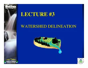
LECTURE LECTURE WATERSHED DELINEATION WATERSHED DELI
by alexa-scheidler
Delineation is part of the process known as wate...
Chapter 3: Selection and Delineation of the
by luanne-stotts
Chapter 3: Selection and Delineation of Study Area...
Watershed Delineation and Characteristics on Alaska’s Nor
by myesha-ticknor
Matt Khosh. University of Texas at Austin. Depart...
Defect Delineation Etching
by mitsue-stanley
7 Defect delineation etching identification of st...
The Primary Care CPNP
by tatiana-dople
® . Exam. 2012. Role Delineation Study: . What ...
Automated Tree-Crown Delineation Using
by mitsue-stanley
Photogrammetric Analyses. Austin . Pinkerton * an...
FederalState Wetland Delineation vs
by danika-pritchard
Jurisdiction Federal wetland boundaries are delin...
Automated tree crown detection and delineation in high
by giovanna-bartolotta
A Pouliot DJ King a FW Bell DG Pitt Department ...
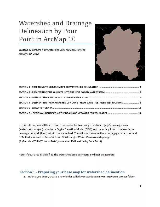
Watershed and Drainage
by phoebe-click
1 Delineation by Pour P oint in ArcMap 10 Writte...
Tools for the delineation of regional MR diffusion abnormal
by calandra-battersby
patients:. Where have we been?. Where should we b...
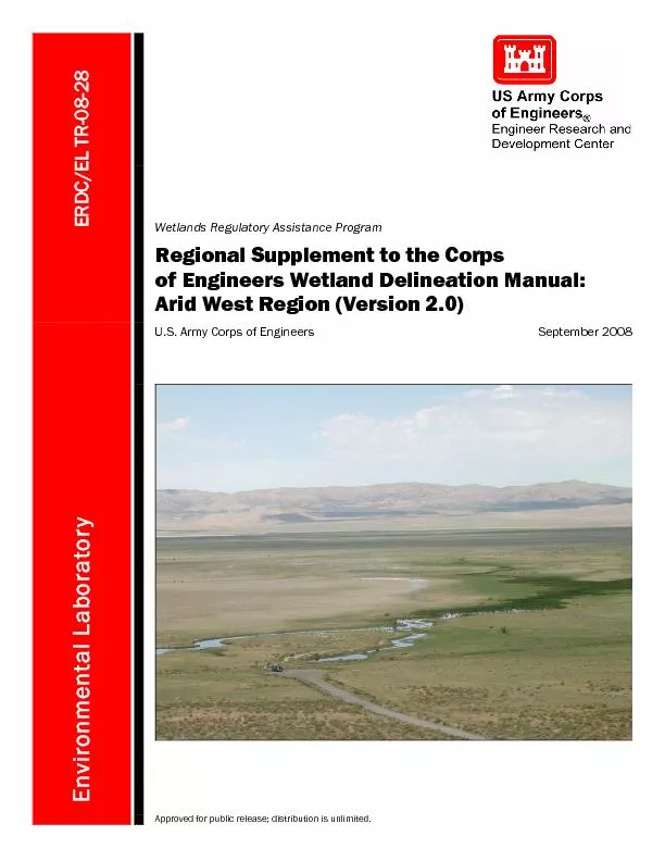
Regional Supplement to the Corps of Engineers Wetland Delineation Man
by phoebe-click
ERDC/EL TR-08-28 September2008 Environmental Lab...
NEW YORK STATE FRESHWATER WETLANDS DELINEATION MANUALJUL
by sherrill-nordquist
TABLE OF CONTENTSPagePREFACE.........................
on the Delineation of
by lois-ondreau
1 R eport Source Water Protection Zones for the ...
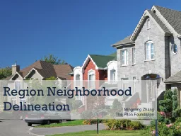
Region Neighborhood Delineation
by lindy-dunigan
Mingming. Zhang. The Piton Foundation. Community...
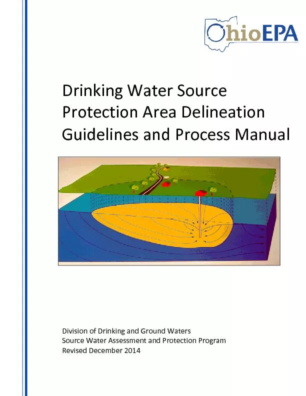
Drinking Water Source
by test
Protection Area Delineation Guidelines and P roc...
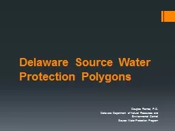
Delaware Source Water Protection Polygons
by faustina-dinatale
Douglas Rambo, P.G.. Delaware Department of Natur...
Watershed and Stream Network Delineation on Alaska’s North Slope
by calandra-battersby
Arctic Climate Change. IPCC AR4 Projections (2007...
Developing a Protocol to Describe and Delineate
by pasty-toler
Episodic Streams on Arid Landscapes FOR PERMITTIN...
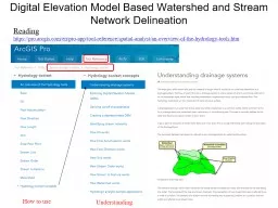
Digital Elevation Model Based Watershed and Stream Network Delineation
by myesha-ticknor
How to use. Reading. . https://. pro.arcgis.com/...
Ohio GIS Conference – September 26, 2018
by trish-goza
OSIP – Services Overview. OSIP Background/Overv...
Application of borehole radar to pothole identification and delineation ahead of the working face i
by yoshiko-marsland
. 4. th. International Platinum Conference: P...
Extended Hydrologic Terrain Analysis
by tawny-fly
Establishing the terrain flow analysis framework....
WP4. Brainstorm Statistics
by fluental
-RS component-. Dimitry Van der Zande (RBINS). WP4...
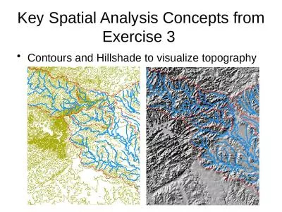
Key Spatial Analysis Concepts from Exercise 3
by susan2
Contours and Hillshade to visualize topography. Zo...
GIS in Water Resources Watershed and Stream Network Delineation
by cadie
CUAHSI Virtual University. David Tarboton. Utah St...
Load More...