Explore
Featured
Recent
Articles
Topics
Login
Upload
Featured
Recent
Articles
Topics
Login
Upload
Search Results for 'grid dem'
grid dem published presentations and documents on DocSlides.
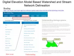
Digital Elevation Model Based Watershed and Stream Network Delineation
by myesha-ticknor
How to use. Reading. . https://. pro.arcgis.com/...
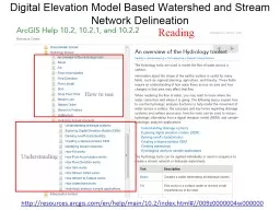
Digital Elevation Model Based Watershed and Stream Network
by olivia-moreira
Understanding. How to use. Reading. http://resour...
Natural Neighbor Based Grid DEM Construction Using a GPU
by pasty-toler
Alex Beutel. Duke University. Joint work with . P...
Extended Hydrologic Terrain Analysis
by tawny-fly
Establishing the terrain flow analysis framework....
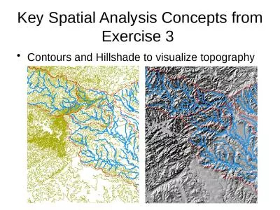
Key Spatial Analysis Concepts from Exercise 3
by susan2
Contours and Hillshade to visualize topography. Zo...
Using topography to estimate flood risk
by trish-goza
Brendan Murphy. CE 397 Flood Forecasting. May 4, ...
Terrain Analysis Using Digital Elevation Models (
by celsa-spraggs
TauDEM. ). Learning Objectives. To be able to del...
Load More...