Uploads
Contact
/
Login
Upload
Search Results for 'Latitude Longitude And Time'
Aeronautical Charts What’s a Chart? Map provided by the FAA or
marina-yarberry
Datums, Spheroids and Projections.
danika-pritchard
addressing A Look at Creating & Updating Point Files
alida-meadow
Calculating Time Travel The North Carolina Geographic Alliance
myesha-ticknor
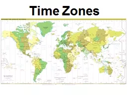
Time Zones What is a Time Zone?
trish-goza
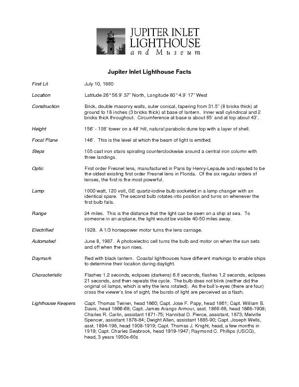
First Lit July 10, 1860 Latitude 26
natalia-silvester
Map Skills
natalia-silvester
Mechanisms of poleward propagating,
briana-ranney
A short-term time-dependent seismicity model
alida-meadow
Good Better Best HP Stream 11 PRO G5
yoshiko-marsland
GE 109
marina-yarberry
Geography and Climatology
lindy-dunigan
PHY134
alida-meadow
Atmospheric Disturbances, Storms and Natural Hazards
myesha-ticknor
latitude
tatiana-dople
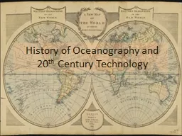
History of Oceanography and 20
lois-ondreau
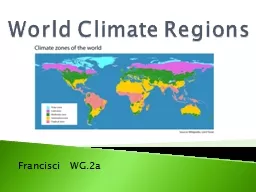
World Climate Regions
conchita-marotz
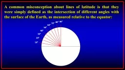
A common misconception about lines of latitude is that they were simply defined as the
briana-ranney
World Climate Regions
test
1 Climates of the Earth
olivia-moreira
12.540 Principles of the Global Positioning System
giovanna-bartolotta
Characterization of high latitude GPS sensed ionospheric ir
phoebe-click
UVIS
tatyana-admore
Transport timescales and source regions of UTLS air from ST
min-jolicoeur
1
2
3
4
5
6
7
8
9
10