Explore
Featured
Recent
Articles
Topics
Login
Upload
Featured
Recent
Articles
Topics
Login
Upload
Search Results for 'lidar ground'
lidar ground published presentations and documents on DocSlides.
LiDAR Overview What LiDAR is . . .
by yoshiko-marsland
. . . . Li. ght . D. etection . A. nd . R. angin...
LiDAR Enhanced Forest Inventory in British Columbia
by chaptoe
Challenges and Opportunities. By. Xiaoping Yuan. F...
Mapping Technology
by karlyn-bohler
Overview. Philip Gershkovich. President. Cooper A...
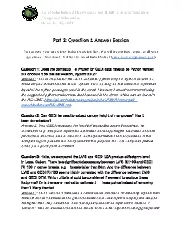
Use of Solar Induced Fluorescence and LIDAR to Assess Vegetation
by barbara
Change and VulnerabilityMarch 16 25 2021Part 2 Que...
Atmospheric Monitoring
by sylvia
in . the. TA experiment. Takayuki . Tomida. . an...
Kentucky Aerial Photography and Elevation Data Program - KYAPED
by pasty-toler
National Height Mod Partner Meeting. M. ay 1, 201...
An Introduction to Radar and Lidar Remote Sensing
by conchita-marotz
Credit to: Weile Wang. Gustav Klimt (1862-1918), ...
Kentucky Aerial Photography and Elevation Data Program - KY
by myesha-ticknor
National Height Mod Partner Meeting. M. ay 1, 201...
LiDAR Landslide
by myesha-ticknor
Mitigation. . Bob Hickey. Although gravity actin...
AGIC 2015
by lindy-dunigan
Education & Training Symposium. September . 2...
The added value of profiling observations from the ground based networks /
by audrey
Lucia Mona - CNR. Second Joint School on Atmospher...
http://espo.nasa.gov/missions/seac4rs/
by warlikebikers
SEAC. 4. RS. Ground and Ship Measurements. Februar...
Methods for
by conchita-marotz
Mapping . Impervious Surfaces. An Exploratory Cas...
Active Remote Sensing in the Baltimore-Washington DC Metrop
by celsa-spraggs
UMBC Monitoring of Atmospheric Pollution (UMAP). ...
Load More...