/
Polar Ice Jeanine  Gelhaus Polar Ice Jeanine  Gelhaus

Polar Ice Jeanine Gelhaus - PowerPoint Presentation

tracy
tracy . @tracy
Follow
65 views
Uploaded On 2023-09-25

Polar Ice Jeanine Gelhaus - PPT Presentation

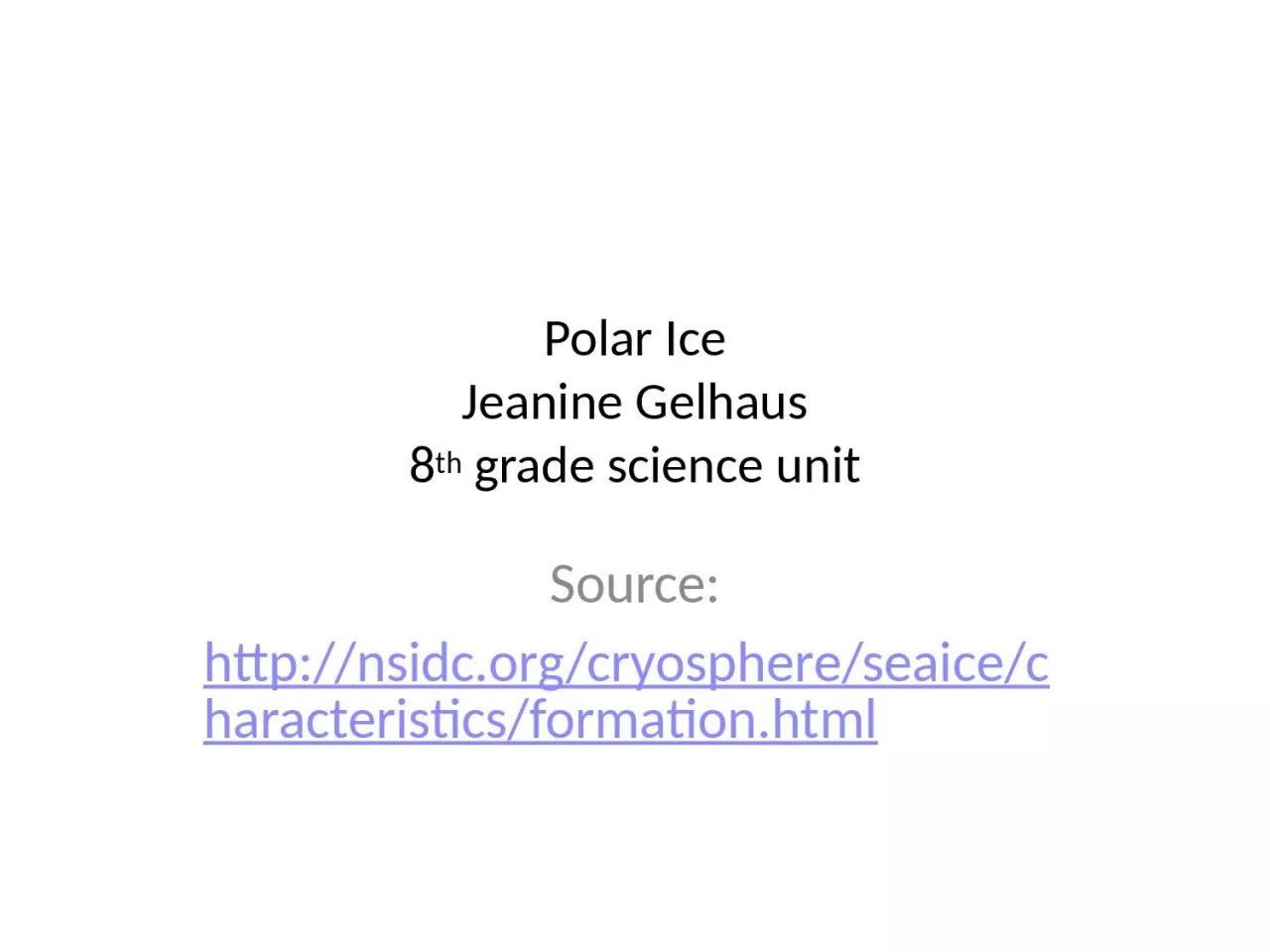
8 th grade science unit Source httpnsidcorgcryosphereseaicecharacteristicsformationhtml Arctic or Antarctic Antarctica land surrounded by water Arctic water surrounded by land ID: 1021199

water ice ocean sea ice water sea ocean salinity salt arctic circulation brine regions heat polar frazil melt year

Share:

Link:

Embed:

Download Presentation from below link

Download Presentation The PPT/PDF document "Polar Ice Jeanine Gelhaus" is the property of its rightful owner. Permission is granted to download and print the materials on this web site for personal, non-commercial use only, and to display it on your personal computer provided you do not modify the materials and that you retain all copyright notices contained in the materials. By downloading content from our website, you accept the terms of this agreement.


Presentation Transcript

1. Polar IceJeanine Gelhaus8th grade science unitSource:http://nsidc.org/cryosphere/seaice/characteristics/formation.html

2. Arctic or AntarcticAntarctica- "land surrounded by water“Arctic - "water surrounded by land" Antarctica has penguins, no mosquitoesArctic has polar bears, has mosquitoesBut they both have something to do with “oceans!”

3. What does ocean water consist of?Salt and fresh water

4. What is salinity?Salinity is a measure of the concentration of dissolved salts in water.

5. How do we measure salinity?A common way to define salinity values has been parts per thousand (ppt), or kilograms of salt in 1,000 kilograms of water. Today, salinity is usually described in practical salinity units (psu), a more accurate but more complex definition. Nonetheless, values of salinity in ppt and psu are nearly equivalent.

6. What is the average salinity of the ocean?The average salinity of the ocean typically varies from 32 to 37 psu, but in polar regions, it may be less than 30 psu. Sodium chloride (table salt) is the most abundant of the many salts found in the ocean

7. Does fresh water and salt water freeze at the same temperature?Fresh water freezes at 0 degrees Celsius (32 degrees FahrenheitThe freezing point of sea water varies. For every 5 ppt increase in salinity, the freezing point decreases by 0.28 degrees Celsius (0.5 degrees Fahrenheit)Thus, in polar regions with an ocean salinity of 35 ppt, the water begins to freeze at -1.8 degrees Celsius (28.8 degrees Fahrenheit).

8. The process of freezing sea waterWhen frazil ice forms, salt accumulates into droplets called BRINE.The part of the ocean water that is FRESH WATER DOES FREEZE!When it does, tiny pockets of salt water are entrapped in the ice. As the water in these trapped pockets freezes, the dissolved salt resides in an increasingly smaller volume of water – resulting in extremely salty water.

9. Frazil Ice

10. Brine Rejection ProcessThe crystals begin to expel salt into the water. These BRINE pockets, under the influence of gravity, melt their way downward through the sea ice until they reach sea water.(Real world application: Just like when you put rock salt on your icy sidewalk)What remains is called “FRAZIL crystals” (consisting of nearly pure, FRESH WATER!) We will talk about this in the near future.

11. Brine PocketsA photograph in natural light showing elongated tubes that form as brine pockets trapped between the ice crystals. The image is 5 millimeters in width. —Photo courtesy of Ted Maksym, United States Naval Academy.

12. Salt plays an important role in ocean circulationIn cold, polar regions, changes in salinity affect ocean density more than changes in temperature. When salt is ejected into the ocean as sea ice forms, the water's salinity increases. Because salt water is heavier, the density of the water increases and the water sinks. The exchange of salt between sea ice and the ocean influences ocean circulation across hundreds of kilometers.

13. Thermohaline Circulation

14. Brine Rejection ProcessThese brine drops, being much saltier and, therefore, much denser than the surrounding sea water sink.

15. Brine Expelledhttp://www.bbc.co.uk/nature/15835017

16. Mystery Salinity Labget supplies and lab sheet from teacher

17. What does Frazil Look Like?Small needle-like crystals are named frazil.Frazil is formed when ocean water begins to freeze.How small are these crystals? These crystals are typically 3 to 4 millimeters (0.12 to 0.16 inches) in diameter.

18. How do sheets of sea ice form?Frazil crystals float to the surface, accumulate and bond together.

19. Name two kinds of sheet iceGREASE or CONGELATION ICEPANCAKE ICE

20. HOW DO THESE DIFFER?

21. Grease IceGrease ice forms in calm waters. It develops into a continuous, thin sheet called nilas.Early in the freeze up season, the ice is somewhat mobile. As a result, they might fracture into smaller sheets.The nila ice might then flow or slide over other nilas due to currents and light winds. This process is called rafting.

22. Grease IceAt first, grease ice looks DARK, but it becomes lighter in color as it thickens. An overlapping blend of nila and smooth, snow-covered ice, with breakage around the edges, and fracturing on the surface.—Credit: Ted Scambos, NSIDC

23. Grease ice

24. Congelation IceWhen the grease ice thickens and becomes a stable sheet, it is then called congelation ice. The ice crystals in congelation ice are long and vertical because they grow slower than frazil ice. The ice has a smooth bottom surface.

25. Pancake IcePancake ice forms in rough, ocean water.These slushy, circular disks resemble pancakes. The perimeter has ridges or raised edges due to the pancakes bumping into each other in the rough water.Rafting can occur if the water is rough enough. If the ice is thick enough, it can pile on top of itself. This forms lines on the surface called “ridges.”The lines on the bottom of the ice are called “Keel”

26. Pancake Ice

27. WOW MomentIn the Arctic, ridges up to 20 meters (60 feet) thick can form when thick ice deforms.

28. Cementing of the IceAfter awhile, the pancakes cement together and consolidate into a coherent ice sheet.This ice has a very rough bottom.

29. Let’s Contrast the Ice Sheetshttp://nsidc.org/cryosphere/seaice/characteristics/formation.html

30. Freezing Salt Water Lab-http://www.studyofplace.info/Activities/Activity.cfm?ActivityId=3&ActivityItemId=31

31. Research on Sea IceModels (skillful numerical circulation model) Satellite Imagery

32. What kind of observations can scientists make concerning the ice http://www.oc.nps.edu/NAME/name.htmlThis is a “skillful numerical circulation model”It provides context for interpreting limited observational dataThe model is able to reasonably reproduce observed conditions (such as ocean temperature, salinity, current speed and direction) at those locations where observations (measurements) exist. A utility of skillful numerical circulation models is that they provide context for interpreting limited observational data. If the model is skillful, then scientists and researchers have a measure of confidence that the model can reasonably represent conditions at locations where measurements do not exist.

33.

34. Scientists use satellite images to study the iceThis is the full mosaic of the arctic region (updated daily)http://rapidfire.sci.gsfc.nasa.gov/imagery/subsets/?mosaic=Arctic.2013287.terra.4km

35. Let’s compare two different dates:October 14, 2013March 21st, 2012

36. Satellite image – Oct. 14th, 2013http://rapidfire.sci.gsfc.nasa.gov/imagery/subsets/?subset=Arctic_r04c02.2013287.terraOct. 14, 2013 (you can see many large ice flows in this image)You can see open water in the fjords because it is early in the freeze up season. The ice is mobile and can easily be moved by wind/currents. As a result, the ice sheet fractures into smaller, unconsolidated flows.

37.

38. Satellite image- March 31, 2012http://rapidfire.sci.gsfc.nasa.gov/imagery/subsets/?mosaic=Arctic.2012090.terra.4kmMarch 31, 2012Notice that there are still fractures in the sea ice cover, but the floes are much larger than those evident in the Oct. 14th, 2013 image

39.

40. Cycle of sea iceOnce sea ice forms into sheet ice, it continues to grow through the winter. When temperatures increase in spring and summer, the first-year ice begins to melt.If the ice does not grow thick enough over the winter, it will completely melt during the summer.

41. Ice Re-FreezingIf a volume of sea ice grows enough during the winter and thins during the summer- but does not COMPLETELY melt during the summer and survives to re-freeze in subsequent winters, the resulting sea ice is termed multi-year (MY) sea ice.

42. Multi-Year IceMultiyear ice.—Image courtesy of Ted Maksym, United States Naval Academy.

43. Remote SensingRemote sensing-means viewing something from a distance rather than by direct contact. Satellites can detect electromagnetic radiation from the multi-year ice. First-year and multiyear ice have different electromagnetic properties that satellite sensors can detect, allowing scientists to distinguish the two

44. Critical ThinkingBecause brine rejection in multi-year sea ice has occurred over multiple years, do you think the salinity of that ice would be more or less than first year (seasonal) sea ice?

45. AnswerBecause brine rejection in MY sea ice has occurred over multiple years, the bulk salinity of MY sea ice is less than that of first year (seasonal) sea ice. In fact, the salinity of older MY ice is sufficiently low that one can melt MY ice and drink the melt water. This is common practice for acquiring fresh water. MY sea ice looks similar to fresh water ice and is structurally much stronger than seasonal sea ice.

46. Critical ThinkingWhat might be the consequence of our planet’s warming and the volume of MY ice in the Arctic?

47. AnswerA consequence of our warming planet is that the volume of MY ice in the Arctic is much less than it was a few decades ago.

48. Critical ThinkingWhy might Multiyear ice be much more common in the Arctic than in the Antarctic?

49. AnswerMultiyear ice is much more common in the Arctic than in the Antarctic because ocean currents and atmospheric circulation move sea ice around Antarctica, causing most of the ice to melt in the summer as it moves into warmer waters, or as the upper ocean heats up due to absorption of solar heat by open water areas. Most of the multiyear ice that does occur in the Antarctic persists because of a circulating current in the Weddell Sea, on the eastern side of the Antarctic Peninsula. The Arctic Ocean, in contrast, is relatively land-locked, allowing extensive multiyear ice to form.

50. Environment and ClimateMelting:The sun's rays strike the polar regions at a more grazing angle than over equatorial regions, where the rays strike at a more direct angle. The sun's angle is the primary reason why the polar regions are cold and the equatorial regions are warm.

51. AlbedoNearly all of the sunlight that hits the sea ice is reflected back into space. Hit is called HIGH ALBEDO.High albedo helps keep the polar regions cold, because the sunlight reflected back into space does not warm the surface. When the climate changes enough to warm the Arctic and to melt sea ice, the polar regions have less of a reflective surface. More heat is then absorbed, which causes more melting, which amplifies the warming. This cycle is known as a positive feedback loop that ultimately alters the circulation of the atmosphere.

52. Albedo

53. Atmosphere and Ocean CurrentThe atmosphere and ocean act as "heat engines," always trying to restore a temperature balance by transporting heat toward the poles.Atmosphere example: (weather) Low-pressure systems, such as storms, which can be especially strong in winter, are one of nature's best ways of transporting heat poleward by atmospheric circulation. The oceans, by contrast, tend to transport heat in a slower and less violent fashion. Changes in the amount of sea ice alter how cold the poles are, which could affect atmospheric and ocean circulation.

54. Thermohaline Circulation

55. What is thermohaline circulation? The process by which the ocean currents transport heat from the equator to the poles through a heat- and saline-driven process.

56. How does the water move?Warm water moves from the equator northward along the ocean surface and eventually cools. As it cools, it becomes dense and heavy and sinks. This cold water then moves south along the lower part of the ocean and rises near the equator to complete the cycle.

57. Balancing temperatures across the earth Like the atmospheric heat transport discussed earlier, this is a natural process that contributes to a proper temperature balance across the earth.

58. Powerpoint on Antarctica