1 Emergency Services Search Coverage Mission Pilot CAPR 50-15 Attachment 10 Paragraph d Richard Shulak Wasatch Sqdn. RMR-UT-008 February 2000 2 Vision Characteristics Central vision is about 10 degrees If search object falls in this area,
"1 Emergency Services Search Coverage Mission Pilot" is the property of its rightful owner. Permission is granted to
download and print the materials on this website for personal, non-commercial use only, and to display it
on your personal computer provided you do not modify the materials and that you retain all copyright
notices contained in the materials. By downloading content from our website, you accept the terms of this
agreement.
Presentation Transcript
01
1 Emergency Services Search Coverage Mission Pilot
CAPR 50-15
Attachment 10
Paragraph d Richard Shulak
Wasatch Sqdn.
RMR-UT-008
February 2000<br>
02
2 Vision Characteristics Central vision is about 10 degrees
If search object falls in this area, you will probably recognize it
Peripheral vision is NOT effective
Best vision is straight ahead
Scanning requires head movement
Vision to the side is blocked by the nose<br>
03
3 Scanning Range & Search Visibility Scanning range
Distance from aircraft ground track to maximum range where scanner has a good chance of sighting the object
Search visibility
Range at which an automobile can be seen and recognized
Scanning range can be shorter than search visibility
Aircraft debris can be smaller than an automobile<br>
04
4 Factors Affecting Scanning Range Atmospheric conditions
Rain, pollen, dust, smoke, haze, inversions
Position of the sun
Best time is when sun is 30 degrees or more above horizon
Clouds and shadows
Terrain and ground cover
Mountains, ground cover, trees (evergreen and leaf bearing)<br>
05
5 Factors Affecting Scanning Range Surface conditions
Snow
Light aircraft in snow that don’t burn are very hard to locate
Cleanliness of window areas
Dirty windows can reduce visibility by as much as 50%
Condition of scanner
Colds and sinus problems
Fatigue
Motion sickness<br>
06
6 Scanning Techniques Central vision is a 10 degree diameter circle
A fist at arms length covers about 10 degrees
Scan must STOP at each 10 degree point to be effective
Pilots use this technique to scan for other aircraft
Duration of stop should be about 1/3 second
Practice your scan!
Always use it when flying<br>
07
7 Scanning Patterns A set pattern of scan lines must be used
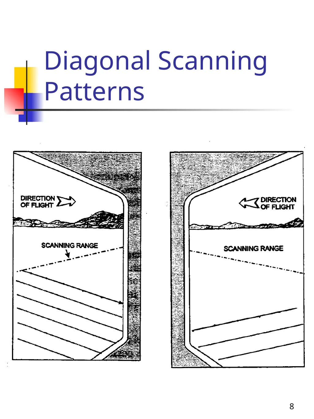
Diagonal pattern
Used when sitting in the rear seat of a small aircraft
Scanning line is followed left to right
If in the right seat, start close to the airplane and scan to the end of the scanning range
If in the left seat, start at the end of the scanning range and end under or close to the aircraft ground track
All scan lines are parallel<br>
08
8 Diagonal Scanning Patterns<br>
09
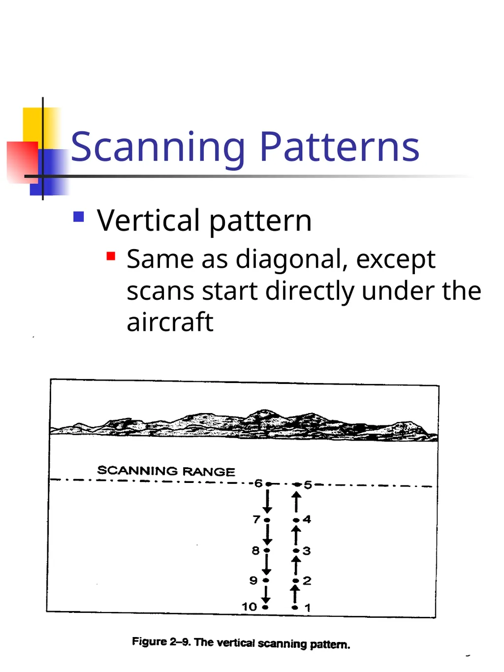
9 Scanning Patterns Vertical pattern
Same as diagonal, except scans start directly under the aircraft<br>
10
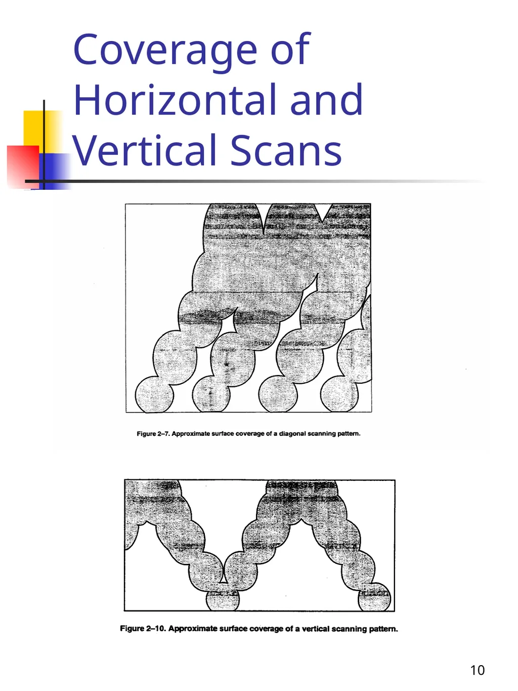
10 Coverage of Horizontal and Vertical Scans<br>
11
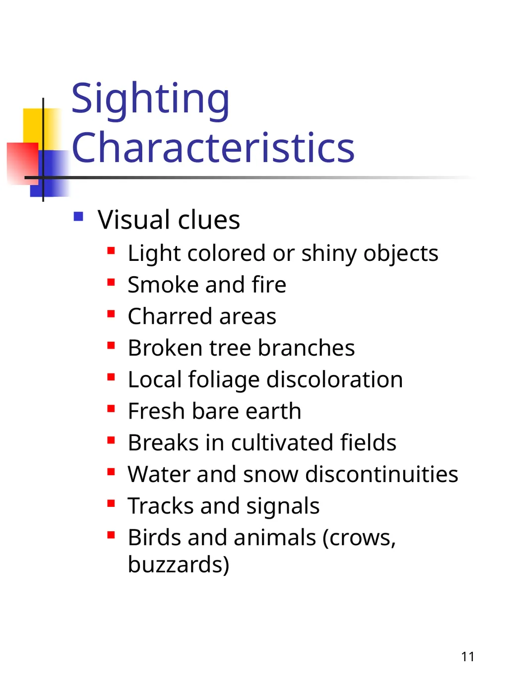
11 Sighting Characteristics Visual clues
Light colored or shiny objects
Smoke and fire
Charred areas
Broken tree branches
Local foliage discoloration
Fresh bare earth
Breaks in cultivated fields
Water and snow discontinuities
Tracks and signals
Birds and animals (crows, buzzards)<br>
12
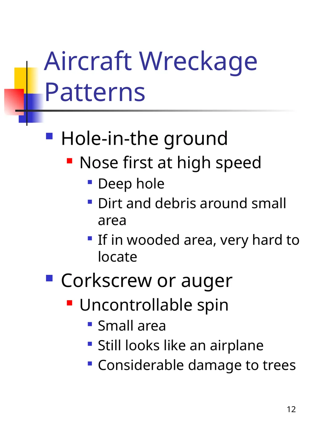
12 Aircraft Wreckage Patterns Hole-in-the ground
Nose first at high speed
Deep hole
Dirt and debris around small area
If in wooded area, very hard to locate
Corkscrew or auger
Uncontrollable spin
Small area
Still looks like an airplane
Considerable damage to trees<br>
13
13 Aircraft Wreckage Patterns Creaming or smear
Impact at high rate of speed
Wreckage in a long and narrow path
Near point of impact may be the battered and recognizable tail and wings
Four winds
Mid air collision or explosion
Parts scattered over large area
Hedge trimming
Ricochet off crest of hill or ridge
Impact could be some distance beyond first impact
Tops of tree may be trimmed<br>
14
14 Signaling Techniques of Survivors Fire
Three fires in a triangle
Smoke or flares
Signal mirrors
Panels on the ground
Wreckage, tarps
Messages
Rocks, tree branches, driftwood
Nighttime signals
Flashlight, fire<br>
15
15 More Definitions Meteorological visibility
The maximum range at which large objects, such as a mountain , can be seen
Search visibility
Distance at which an object the size of an automobile can be seen and recognized
Scanning range
The lateral distance from a scanner’s aircraft to an imaginary line parallel to the search aircraft's ground track within which the scanner has a good chance of spotting the search objective<br>
16
16 More Definitions Ground track
Imaginary line of the ground over which the aircraft flies
Search track
Area between ground track and scanning range
Track spacing
Distance between adjacent ground tracks<br>
17
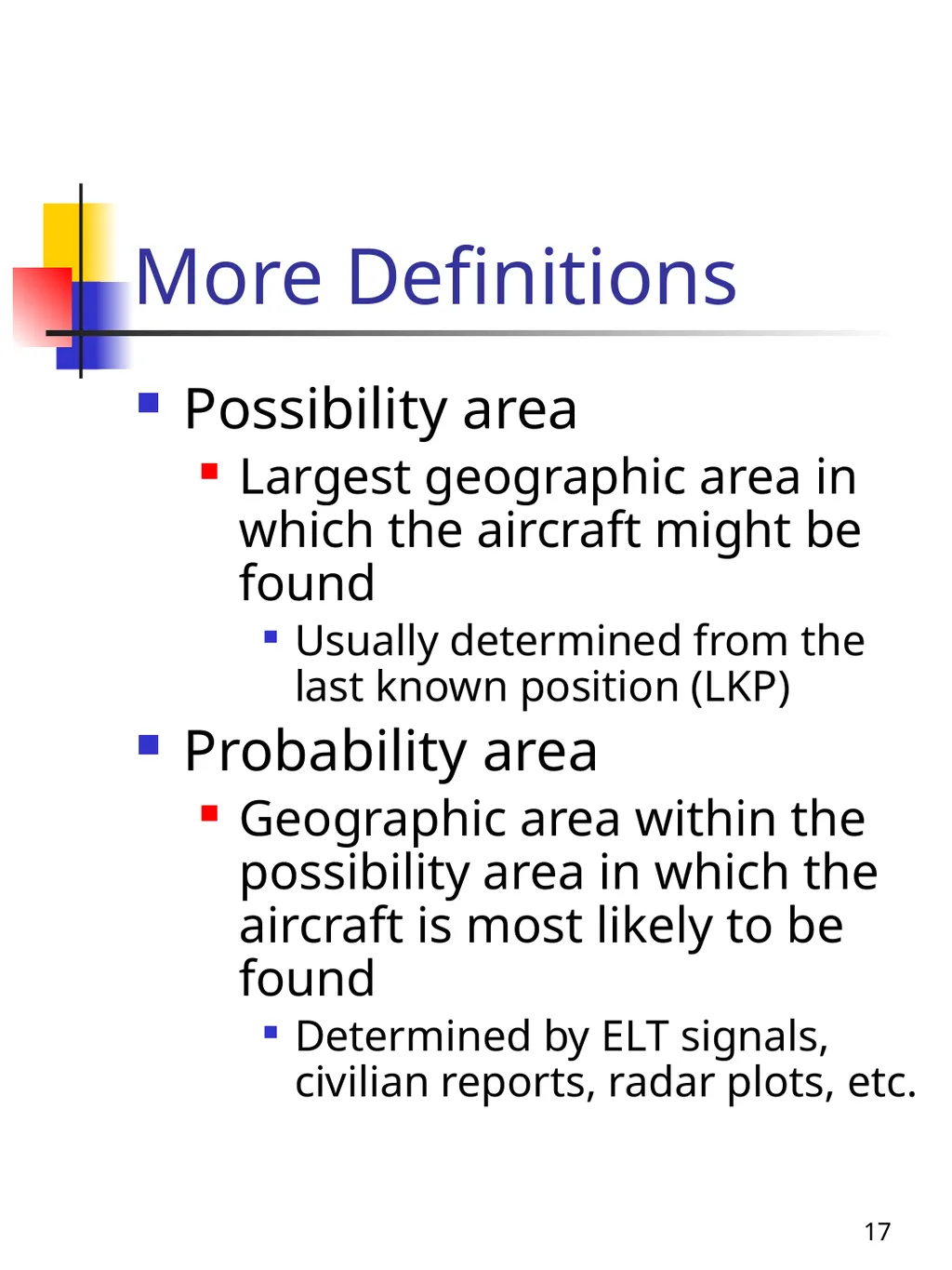
17 More Definitions Possibility area
Largest geographic area in which the aircraft might be found
Usually determined from the last known position (LKP)
Probability area
Geographic area within the possibility area in which the aircraft is most likely to be found
Determined by ELT signals, civilian reports, radar plots, etc.<br>
18
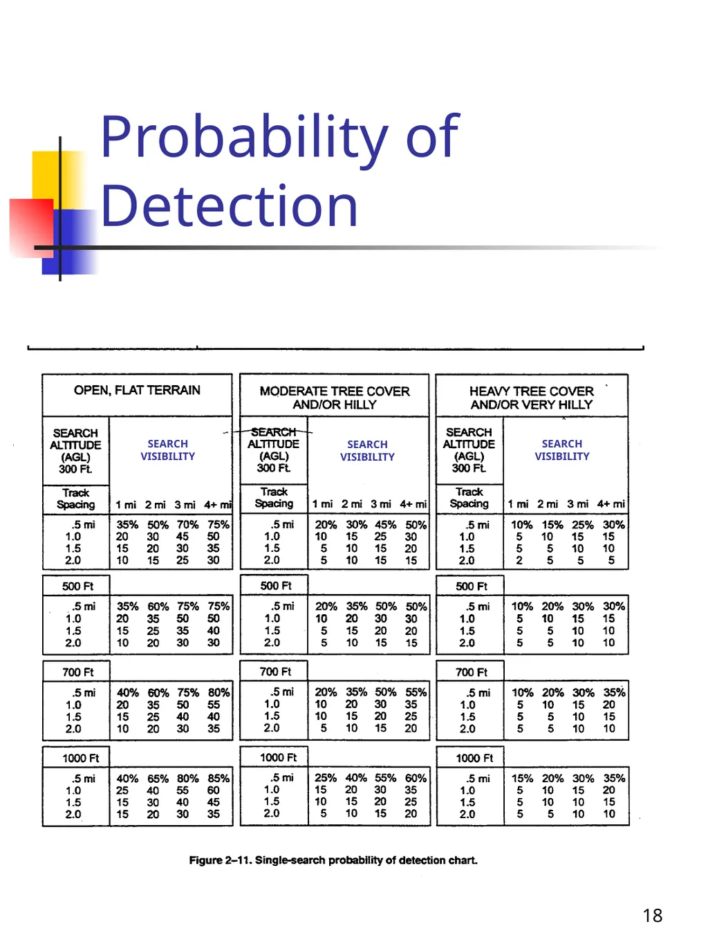
18 Probability of Detection SEARCH VISIBILITY SEARCH VISIBILITY SEARCH VISIBILITY<br>