
A FIELD STUDY RESEARCH PROJECT FOR THE CLASS OF



Description: A FIELD STUDY RESEARCH PROJECT FOR THE CLASS OF 5TH SEM SEC PAPER: PUBLIC OPINION AND SURVEY RESEARCH FLOOD DISASTER: CAUSES, EFFECTS AND REMEDIAL MEASURES- A CASE STUDY IN KAMPUR REVENUE CIRCLE DR. PRANAMI LASKAR Department of
Related Topics
Download Presentation
"A FIELD STUDY RESEARCH PROJECT FOR THE CLASS OF" is the property of its rightful owner. Permission is granted to download and print the materials on this website for personal, non-commercial use only, and to display it on your personal computer provided you do not modify the materials and that you retain all copyright notices contained in the materials. By downloading content from our website, you accept the terms of this agreement.
Presentation Transcript
slide1. A FIELD STUDY RESEARCH PROJECT FOR THE CLASS OF 5TH SEM SEC
PAPER: PUBLIC OPINION AND SURVEY RESEARCH
‘’FLOOD DISASTER: CAUSES, EFFECTS AND REMEDIAL MEASURES-
A CASE STUDY IN KAMPUR REVENUE CIRCLE’’ DR. PRANAMI LASKAR
Department of Political Science,
Dr. BKB College, Puranigudam<br>
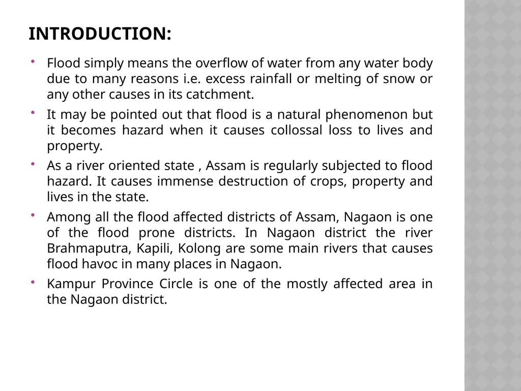
slide2. Introduction: Flood simply means the overflow of water from any water body due to many reasons i.e. excess rainfall or melting of snow or any other causes in its catchment.
It may be pointed out that flood is a natural phenomenon but it becomes hazard when it causes collossal loss to lives and property.
As a river oriented state , Assam is regularly subjected to flood hazard. It causes immense destruction of crops, property and lives in the state.
Among all the flood affected districts of Assam, Nagaon is one of the flood prone districts. In Nagaon district the river Brahmaputra, Kapili, Kolong are some main rivers that causes flood havoc in many places in Nagaon.
Kampur Province Circle is one of the mostly affected area in the Nagaon district.<br>
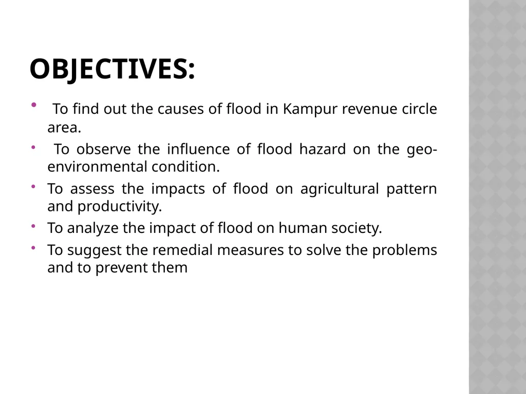
slide3. OBJECTIVES: To find out the causes of flood in Kampur revenue circle area.
To observe the influence of flood hazard on the geo-environmental condition.
To assess the impacts of flood on agricultural pattern and productivity.
To analyze the impact of flood on human society.
To suggest the remedial measures to solve the problems and to prevent them<br>
slide4. METHODOLOGY: The primary data have been collected from the field observation, personal interview.
The secondary data have been collected from Kampur revenue circle office and statistical hand book of Govt. of Assam
The information on the past history and physical characteristics of this area have been collected from historical records, relevant books & magazines about Kampur revenue circle area and atlases
The data have been analyzed with proper statistical methods and techniques.<br>
slide5. STUDY AREA: Kampur revenue circle is situated in the Nagaon district of Assam.
The latitudinal extension of Kampur circle is from 25057'N to 26012'N and the longitudinal extension is from 92023'E.
Total land area of Kmpur Circle is about 278223 bigha. At present Kampur revenue circle is constituted of Garubat Mouza, Jarabari Mouza, Kampur Mouza, Kathiatoli Mouza, a part of Jamunamukh, Kandali and Pakhimoria Mouza.
There are all total 300 revenue villages and about five lakhs of population in the circle area.<br>
slide6. CAUSES OF OCCURRANCE OF FLOOD: Flow of large volume of water in rainy season is one of the main reasons. the water overflows the river banks and inundates the neighboring areas. The average annual rainfall in Assam is also very high.
Kampur circle is surrounded by hills and plateaus. Being under tropical monsoon due to heavy rainfall in the hills, water rushes down to the plains which cause floods.
The rivers carry materials from the hilly catchment areas and are deposited on the river beds and so the carrying capacity of the running water is highly reduced at this stage. It is pointed to note that the siltation is very high in the river Kopili, Borpani, Haria and jamuna. Therefore water overflows the rivers causing flood in this area.
The great earthquake of 1950 raised the beds of the rivers. The rising of the bed naturally reduced the volume of the channels rendering the rivers shallow. Therefore, during the rainy season there is overflow of water in the rivers causing flood in this area.<br>
slide7. Impact Of flood: The floods that occur almost every year in this area influences on the geo environmental condition.
Floods cause devastation by destroying crops and agricultural fields.
The flood water which remains for several days destroys roads, bridges, houses, institutions etc.
Besides, the degradation of the wetlands on the ecosystem that is occurring due to the flood results in biodiversity loss.<br>
slide8. RECOMMANDATIONS: Houses should be made on high or raised grounds.
Relief should be proportionate to the number of people affected.
Scientific procedures should be devised to determine how much money is to be spent for repairing of communication lines, executing rescue operations, providing relief and medicine, extending different types of loans and rebuilding public utilities.
Damage data assessment techniques should be used to estimate various socio-economic parameters for flood damage assessment of the region.
Lack of proper maintenance is one of the major to failure of the embankment in the area. Keeping this aspect in mind, an afforestration model is designed which will stop breaching and bring economic and environmental benefits.<br>
slide9. The ideal flood resistant paddy varieties should be cultivated. The crops suitable for post-flood period are mustard, boro paddy, wheat and rabi pulses depending on the soil characteristics.
Before the onset of the flood season, water hyacinth should be removed from wetlands.
Encroachment of wetland and forest areas for agriculture and settlement should be stopped.
In hazard prone areas, it is essential for optimum resource utilization. Better flood hazard management strategies for reduction of damage and proper utilization of resource can formulated on the basis of scientific methods.
Priority should be given now on non-structural management i.e. adjustment with flood in the form of emergency action land use regulations, relief and rehabilitation in flood affected areas and abetment i.e. a forestation, vegetation change and agricultural practice in catchment areas.
Culverts and bridges should be constructed more for easy discharge and to avoid flood and breaching.
Marshy lands and wetlands are to be preserved because they are cushion of flood plains.<br>
slide10. SUMMARY: A relatively new type of hazard is caused due to normal breaching of embankments and cuts by the miscreants and river dam which causes sudden flood due to opening of the dam.
Relief distribution is found not to tibe proportionate to the size of population affected by floods in different parts of the study area. A number of problems are found in damage assessment and relief distribution procedures.
Besides the study indicates that embankments and river dam are the major cause of recent flood hazard.
Extensive Jhum cultivation in the N.C. Hills and Karbi-Anglong hills has led to degradation of forest cover in the catchments area of Kapili river. A major negative impact of drastic removal and degradation of forest cover is the increase in peak discharge of the Kapili River.<br>
slide11. The large number of wetlands used to provide cushioning effect on floods but due to encroachment and reclamation in recent years these wetlands is greatly affected. The Kapili River and the tributaries Borpani and Haria River their combined activities are responsible for flood and inundation in the study area.
Increase in population has led to the increase of flood hazard.
There are a number of causes of backline migration of the Kapili river. For example- (i) sudden variation of slope of rivers on entering the study area after traversing the hilly tract. (ii) High slumping intensity of bank lines. (iii) Development of gullies near Kampur and Jugijan and (iv) Earthquake of 1950, and (v) Various anthrop gent as well as geo environmental factors.<br>
slide12. Remedial measures: The first and foremost step to control floods is to look into their basic cause which is perhaps the high intensity rainfall and resultant surface runoff. Man cannot stop high intensity rainfall and there is no need at all to interfere with natural processes. To delay the return of surface run of can be achieved by large scale reforestation and afforesration in the hilly course catchment areas. This can effectively reduce the frequency and dimension of floods in the area.
Construction of embankment in a planned manner in some selected flood affected areas only.
Controlling the major rivers by constructing reservoirs Such storage reservoirs impound enormous volume of water during flood period and these reservoirs reduce the volume of water of the rivers and also provide water for.
Checking bank erosion.<br>
slide13. Flood-diversion systems imply diversion of flood water in low-lying areas, depression, etc.
Construction of drainage channels, culverts and sluice gates wherever necessary.
Construction of raised platforms near the flood prone area for taking shelter in the period of high flood.
Flood control organization and flood forecasting and warning system should be develop in this area reduce danger from flood.
It is necessary to aware the people of flood prone areas about the alarming system and about the necessary precautions before coming flood.<br>
slide14. conclusion: On the basis of the above discussion it is found that flood problem in Kampur circle stands as hindrance in the development of the area.
The flood and its related problems created by the rivers should be considered with great importance. It is obvious that this area had been known as a developed area since time immemorial. Due to recurring flood this area losses its past glory and various types of problems have been occurred.
So it is necessary to study in details about flood hazard and to mitigate the problems. All sectors i.e. Government, Nongovernmental organizations, civil society organizations as well as common people and associated departments should come forward to take necessary steps for the permanent solution of this hazardous problem.<br>
slide15. THANK YOU<br>
Department of Political Science,
Dr. BKB College, Puranigudam<br>
slide2. Introduction: Flood simply means the overflow of water from any water body due to many reasons i.e. excess rainfall or melting of snow or any other causes in its catchment.
It may be pointed out that flood is a natural phenomenon but it becomes hazard when it causes collossal loss to lives and property.
As a river oriented state , Assam is regularly subjected to flood hazard. It causes immense destruction of crops, property and lives in the state.
Among all the flood affected districts of Assam, Nagaon is one of the flood prone districts. In Nagaon district the river Brahmaputra, Kapili, Kolong are some main rivers that causes flood havoc in many places in Nagaon.
Kampur Province Circle is one of the mostly affected area in the Nagaon district.<br>
slide3. OBJECTIVES: To find out the causes of flood in Kampur revenue circle area.
To observe the influence of flood hazard on the geo-environmental condition.
To assess the impacts of flood on agricultural pattern and productivity.
To analyze the impact of flood on human society.
To suggest the remedial measures to solve the problems and to prevent them<br>
slide4. METHODOLOGY: The primary data have been collected from the field observation, personal interview.
The secondary data have been collected from Kampur revenue circle office and statistical hand book of Govt. of Assam
The information on the past history and physical characteristics of this area have been collected from historical records, relevant books & magazines about Kampur revenue circle area and atlases
The data have been analyzed with proper statistical methods and techniques.<br>
slide5. STUDY AREA: Kampur revenue circle is situated in the Nagaon district of Assam.
The latitudinal extension of Kampur circle is from 25057'N to 26012'N and the longitudinal extension is from 92023'E.
Total land area of Kmpur Circle is about 278223 bigha. At present Kampur revenue circle is constituted of Garubat Mouza, Jarabari Mouza, Kampur Mouza, Kathiatoli Mouza, a part of Jamunamukh, Kandali and Pakhimoria Mouza.
There are all total 300 revenue villages and about five lakhs of population in the circle area.<br>
slide6. CAUSES OF OCCURRANCE OF FLOOD: Flow of large volume of water in rainy season is one of the main reasons. the water overflows the river banks and inundates the neighboring areas. The average annual rainfall in Assam is also very high.
Kampur circle is surrounded by hills and plateaus. Being under tropical monsoon due to heavy rainfall in the hills, water rushes down to the plains which cause floods.
The rivers carry materials from the hilly catchment areas and are deposited on the river beds and so the carrying capacity of the running water is highly reduced at this stage. It is pointed to note that the siltation is very high in the river Kopili, Borpani, Haria and jamuna. Therefore water overflows the rivers causing flood in this area.
The great earthquake of 1950 raised the beds of the rivers. The rising of the bed naturally reduced the volume of the channels rendering the rivers shallow. Therefore, during the rainy season there is overflow of water in the rivers causing flood in this area.<br>
slide7. Impact Of flood: The floods that occur almost every year in this area influences on the geo environmental condition.
Floods cause devastation by destroying crops and agricultural fields.
The flood water which remains for several days destroys roads, bridges, houses, institutions etc.
Besides, the degradation of the wetlands on the ecosystem that is occurring due to the flood results in biodiversity loss.<br>
slide8. RECOMMANDATIONS: Houses should be made on high or raised grounds.
Relief should be proportionate to the number of people affected.
Scientific procedures should be devised to determine how much money is to be spent for repairing of communication lines, executing rescue operations, providing relief and medicine, extending different types of loans and rebuilding public utilities.
Damage data assessment techniques should be used to estimate various socio-economic parameters for flood damage assessment of the region.
Lack of proper maintenance is one of the major to failure of the embankment in the area. Keeping this aspect in mind, an afforestration model is designed which will stop breaching and bring economic and environmental benefits.<br>
slide9. The ideal flood resistant paddy varieties should be cultivated. The crops suitable for post-flood period are mustard, boro paddy, wheat and rabi pulses depending on the soil characteristics.
Before the onset of the flood season, water hyacinth should be removed from wetlands.
Encroachment of wetland and forest areas for agriculture and settlement should be stopped.
In hazard prone areas, it is essential for optimum resource utilization. Better flood hazard management strategies for reduction of damage and proper utilization of resource can formulated on the basis of scientific methods.
Priority should be given now on non-structural management i.e. adjustment with flood in the form of emergency action land use regulations, relief and rehabilitation in flood affected areas and abetment i.e. a forestation, vegetation change and agricultural practice in catchment areas.
Culverts and bridges should be constructed more for easy discharge and to avoid flood and breaching.
Marshy lands and wetlands are to be preserved because they are cushion of flood plains.<br>
slide10. SUMMARY: A relatively new type of hazard is caused due to normal breaching of embankments and cuts by the miscreants and river dam which causes sudden flood due to opening of the dam.
Relief distribution is found not to tibe proportionate to the size of population affected by floods in different parts of the study area. A number of problems are found in damage assessment and relief distribution procedures.
Besides the study indicates that embankments and river dam are the major cause of recent flood hazard.
Extensive Jhum cultivation in the N.C. Hills and Karbi-Anglong hills has led to degradation of forest cover in the catchments area of Kapili river. A major negative impact of drastic removal and degradation of forest cover is the increase in peak discharge of the Kapili River.<br>
slide11. The large number of wetlands used to provide cushioning effect on floods but due to encroachment and reclamation in recent years these wetlands is greatly affected. The Kapili River and the tributaries Borpani and Haria River their combined activities are responsible for flood and inundation in the study area.
Increase in population has led to the increase of flood hazard.
There are a number of causes of backline migration of the Kapili river. For example- (i) sudden variation of slope of rivers on entering the study area after traversing the hilly tract. (ii) High slumping intensity of bank lines. (iii) Development of gullies near Kampur and Jugijan and (iv) Earthquake of 1950, and (v) Various anthrop gent as well as geo environmental factors.<br>
slide12. Remedial measures: The first and foremost step to control floods is to look into their basic cause which is perhaps the high intensity rainfall and resultant surface runoff. Man cannot stop high intensity rainfall and there is no need at all to interfere with natural processes. To delay the return of surface run of can be achieved by large scale reforestation and afforesration in the hilly course catchment areas. This can effectively reduce the frequency and dimension of floods in the area.
Construction of embankment in a planned manner in some selected flood affected areas only.
Controlling the major rivers by constructing reservoirs Such storage reservoirs impound enormous volume of water during flood period and these reservoirs reduce the volume of water of the rivers and also provide water for.
Checking bank erosion.<br>
slide13. Flood-diversion systems imply diversion of flood water in low-lying areas, depression, etc.
Construction of drainage channels, culverts and sluice gates wherever necessary.
Construction of raised platforms near the flood prone area for taking shelter in the period of high flood.
Flood control organization and flood forecasting and warning system should be develop in this area reduce danger from flood.
It is necessary to aware the people of flood prone areas about the alarming system and about the necessary precautions before coming flood.<br>
slide14. conclusion: On the basis of the above discussion it is found that flood problem in Kampur circle stands as hindrance in the development of the area.
The flood and its related problems created by the rivers should be considered with great importance. It is obvious that this area had been known as a developed area since time immemorial. Due to recurring flood this area losses its past glory and various types of problems have been occurred.
So it is necessary to study in details about flood hazard and to mitigate the problems. All sectors i.e. Government, Nongovernmental organizations, civil society organizations as well as common people and associated departments should come forward to take necessary steps for the permanent solution of this hazardous problem.<br>
slide15. THANK YOU<br>