
Gravity Method Geophysics (Definition) Geophysics
Description: Gravity Method Geophysics (Definition) Geophysics is the application of method of physics to the study of the Earth. On the other sense, it is a subject of natural science concern with the physical processes and the physical properties of
Related Topics
Download Presentation
"Gravity Method Geophysics (Definition) Geophysics" is the property of its rightful owner. Permission is granted to download and print the materials on this website for personal, non-commercial use only, and to display it on your personal computer provided you do not modify the materials and that you retain all copyright notices contained in the materials. By downloading content from our website, you accept the terms of this agreement.
Presentation Transcript
slide1. Gravity Method<br>
slide2. Geophysics (Definition) Geophysics is the application of method of physics to the study of the Earth.
On the other sense, it is a subject of natural science concern with the physical processes and the physical properties of the earth and it’s surrounding space environment and the use of co-ordinary methods for the analysis.
It involves the application of physical theories and measurements to discover the properties and processes of the earth.<br>
slide3. Geophysics Geophysics has contributed significantly in the understanding of many physical processes that lead to scientific and economic contribution to our society.<br>
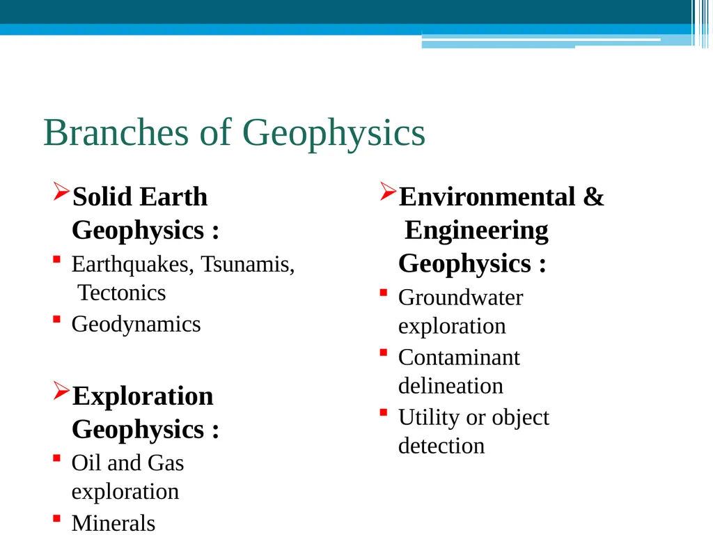
slide4. Branches of Geophysics Solid Earth Geophysics :
Earthquakes, Tsunamis, Tectonics
Geodynamics
Exploration Geophysics :
Oil and Gas exploration
Minerals exploration Environmental & Engineering Geophysics :
Groundwater exploration
Contaminant delineation
Utility or object detection<br>
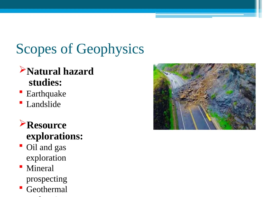
slide5. Scopes of Geophysics Natural hazard studies:
Earthquake
Landslide
Resource explorations:
Oil and gas exploration
Mineral prospecting
Geothermal exploration
Groundwater exploration<br>
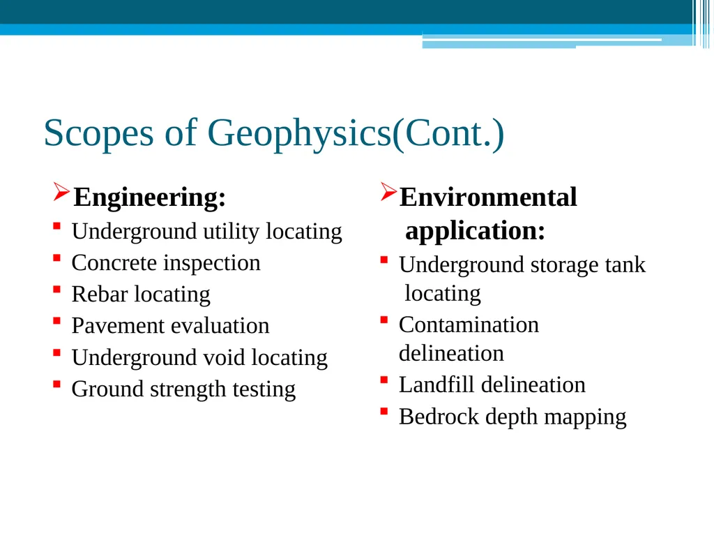
slide6. Scopes of Geophysics(Cont.) Engineering:
Underground utility locating
Concrete inspection
Rebar locating
Pavement evaluation
Underground void locating
Ground strength testing Environmental application:
Underground storage tank locating
Contamination delineation
Landfill delineation
Bedrock depth mapping<br>
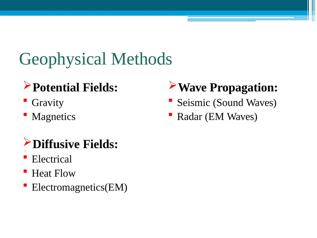
slide7. Geophysical Methods Potential Fields:
Gravity
Magnetics
Diffusive Fields:
Electrical
Heat Flow
Electromagnetics(EM) Wave Propagation:
Seismic (Sound Waves)
Radar (EM Waves)<br>
slide8. Geophysical methods Gravity method:
Gravity method is a non-destructive geophysical technique that measures differences in the earth’s gravitational field at specific locations.
The gravity method is a relatively cheap, non- invasive, non-destructive remote sensing method.<br>
slide9. Gravity method In gravity surveying, subsurface geology is investigated on the basis of variations in the Earth’s gravitational field arising from differences of density between subsurface rocks.
An underlying concept is the idea of a causative body, which is a rock unit of different density from its surroundings.<br>
slide10. Application of Gravity method Determine shape of the Earth
Hydrocarbon exploration
Regional geological studies
Iso-static compensation determination
Detection of sub-surface cavities (microgravity)
Location of buried rock-valleys
Determination of glacier thickness
Tidal oscillations
Basin Geometry<br>
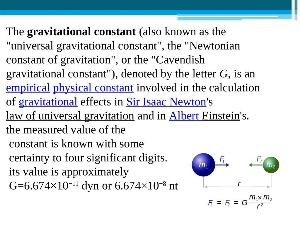
slide11. The gravitational constant (also known as the "universal gravitational constant", the "Newtonian constant of gravitation", or the "Cavendish gravitational constant"), denoted by the letter G, is an empirical physical constant involved in the calculation of gravitational effects in Sir Isaac Newton's law of universal gravitation and in Albert Einstein's. the measured value of the
constant is known with some
certainty to four significant digits.
its value is approximately
G=6.674×10⁻¹¹ dyn or 6.674×10⁻⁸ nt<br>
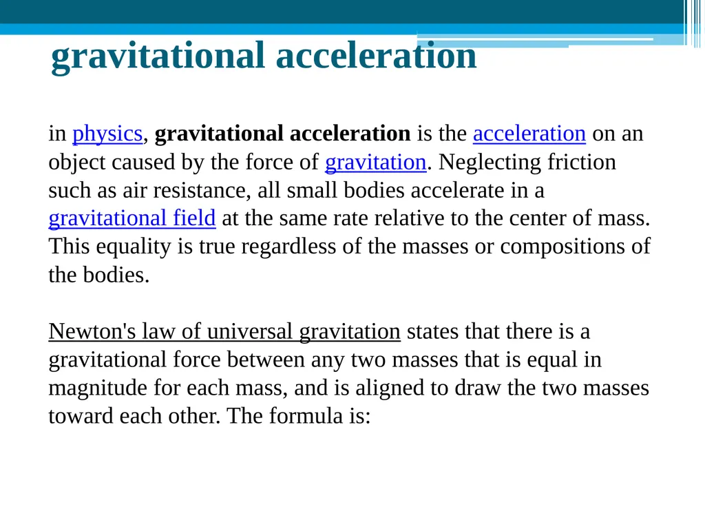
slide12. gravitational acceleration in physics, gravitational acceleration is the acceleration on an object caused by the force of gravitation. Neglecting friction such as air resistance, all small bodies accelerate in a gravitational field at the same rate relative to the center of mass. This equality is true regardless of the masses or compositions of the bodies.
Newton's law of universal gravitation states that there is a gravitational force between any two masses that is equal in magnitude for each mass, and is aligned to draw the two masses toward each other. The formula is:<br>
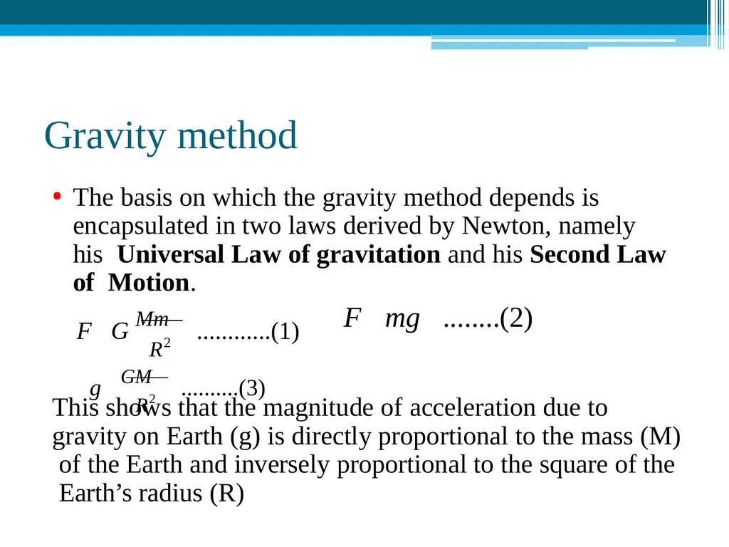
slide13. Gravity method The basis on which the gravity method depends is encapsulated in two laws derived by Newton, namely his Universal Law of gravitation and his Second Law of Motion. This shows that the magnitude of acceleration due to gravity on Earth (g) is directly proportional to the mass (M) of the Earth and inversely proportional to the square of the Earth’s radius (R) R2 F G Mm ............(1) F mg ........(2) R2 g GM ..........(3)<br>
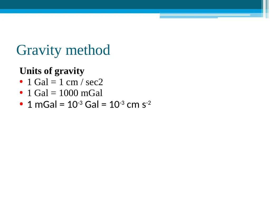
slide14. Gravity method Units of gravity
1 Gal = 1 cm / sec2
1 Gal = 1000 mGal
1 mGal = 10-3 Gal = 10-3 cm s-2<br>
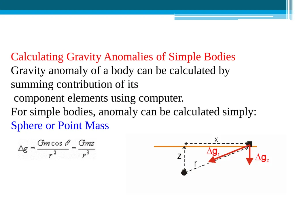
slide15. Calculating Gravity Anomalies of Simple Bodies
Gravity anomaly of a body can be calculated by summing contribution of its
component elements using computer.
For simple bodies, anomaly can be calculated simply:
Sphere or Point Mass<br>
slide16. Gravity method ( Process ) Gravity techniques measure minute variations in the earth's gravity field. Based on these variations, subsurface density and thereby composition can be inferred.
These variations can be determined by measuring the earth's gravity field at numerous stations along a traverse, and correcting the gravity data for elevation, tidal effects, topography, latitude, and instrument drift.<br>
slide17. Gravity method ( Process ) The gravity field on the surface of the Earth is not uniformly the same everywhere. It varies with the distribution of the mass materials below. A Gravity survey is an direct means of calculating the density property of subsurface materials.
The higher the gravity values, the denser the rock beneath.<br>
slide18. Gravity method (Equipment) Modern instruments capable of rapid gravity measurements are known as gravity meters or gravimeters. Gravimeters are basically spring balances carrying a constant mass. Variations in the weight of the mass caused by variations in gravity cause the length of the spring to vary and give a measure of the change in gravity.<br>
slide19. Gravity method (Equipment) There are two types of gravimeters:
Relative and
Absolute.
Absolute gravimeters measure the local gravity in
absolute units, gals.
Relative gravimeters compare the value of gravity at one point with another. They must be calibrated at a location where the gravity is known accurately, and then transported to the location where the gravity is to be measured. They measure the ratio of the gravity at the two points.<br>
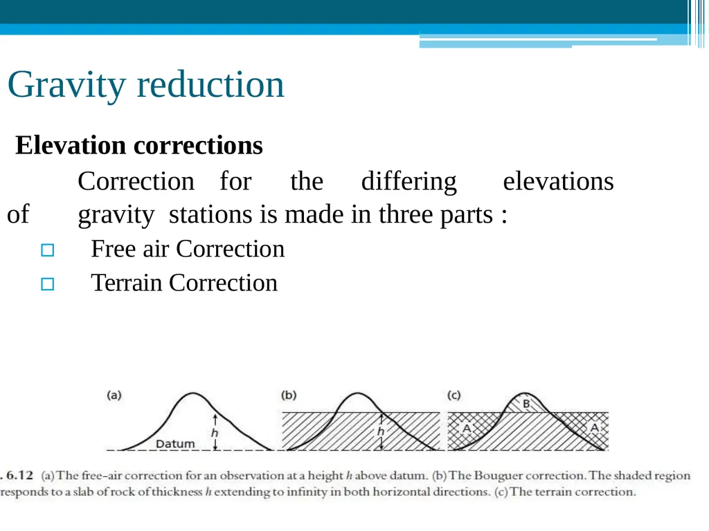
slide20. Gravity reduction Elevation corrections
Correction for the differing elevations of gravity stations is made in three parts :
▫ Free air Correction
▫ Terrain Correction<br>
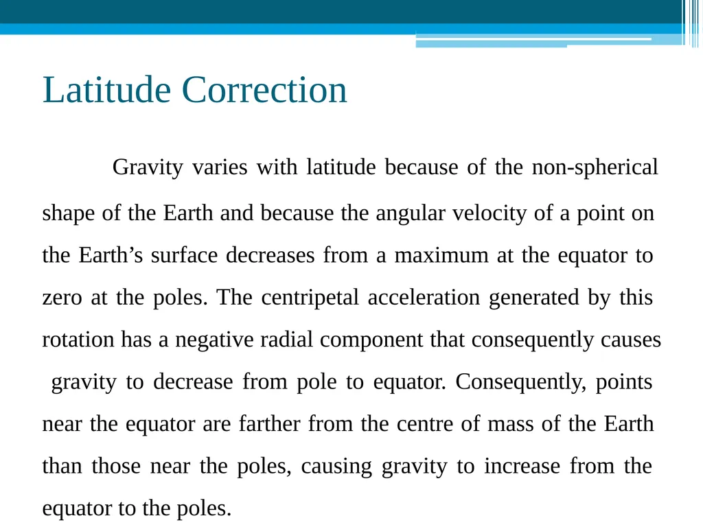
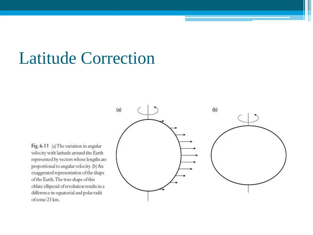
slide21. Latitude Correction Gravity varies with latitude because of the non-spherical
shape of the Earth and because the angular velocity of a point on the Earth’s surface decreases from a maximum at the equator to zero at the poles. The centripetal acceleration generated by this rotation has a negative radial component that consequently causes gravity to decrease from pole to equator. Consequently, points near the equator are farther from the centre of mass of the Earth than those near the poles, causing gravity to increase from the equator to the poles.<br>
slide22. Latitude Correction<br>
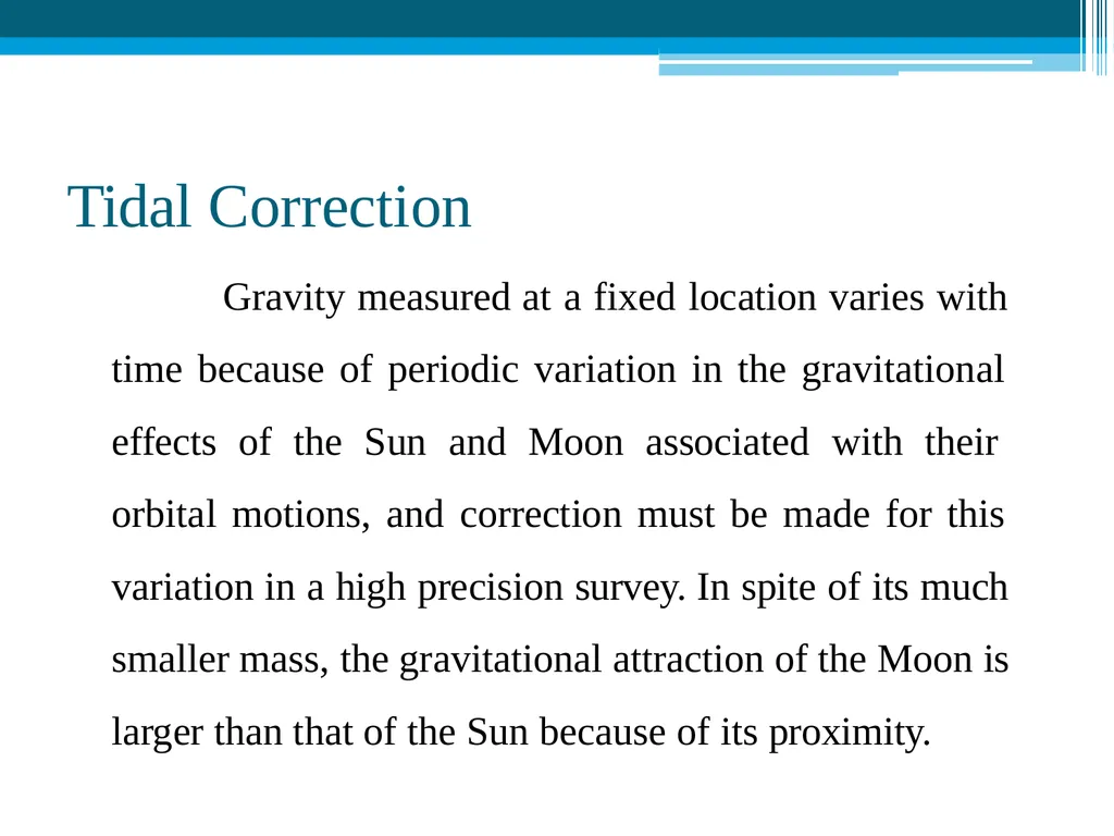
slide23. Tidal Correction Gravity measured at a fixed location varies with time because of periodic variation in the gravitational effects of the Sun and Moon associated with their orbital motions, and correction must be made for this variation in a high precision survey. In spite of its much smaller mass, the gravitational attraction of the Moon is larger than that of the Sun because of its proximity.<br>
slide24. Tidal Correction These solid Earth tides are considerably smaller than oceanic tides and lag farther behind the lunar motion. They cause the elevation of an observation point to be altered by a few centimeters and thus vary its distance from the centre of mass of the Earth. The periodic gravity variations caused by the combined effects of Sun and Moon are known as tidal variations.
They have a maximum amplitude of some 3 gu and a minimumperiod of about 12 h.<br>
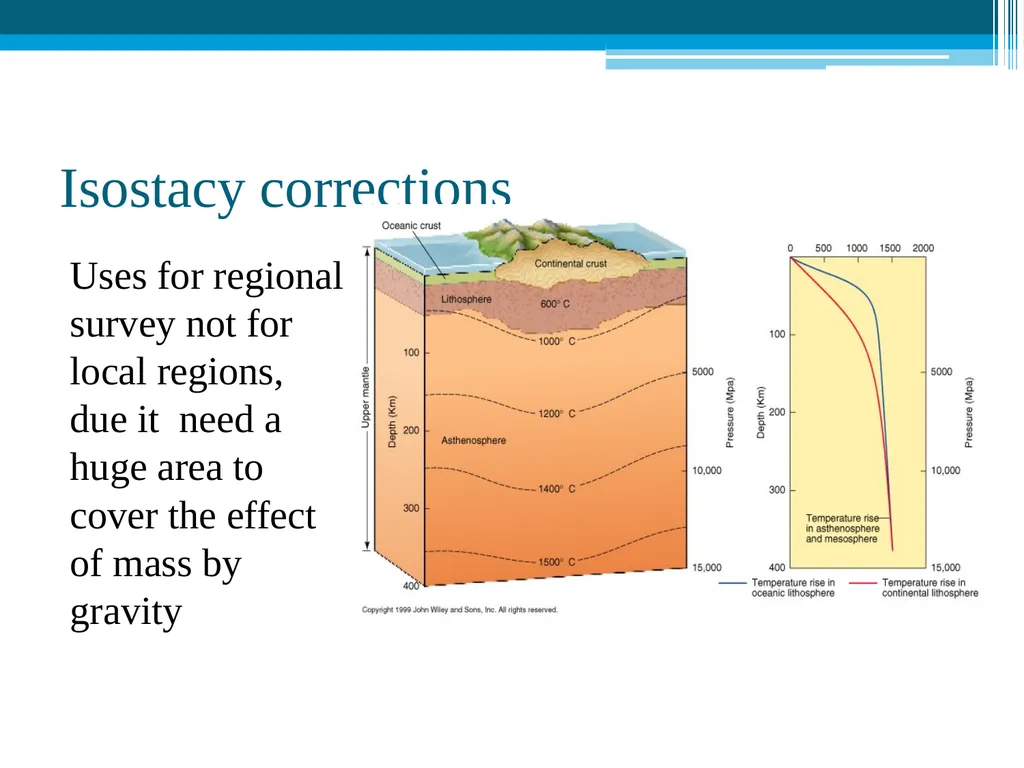
slide25. Isostacy corrections Uses for regional survey not for local regions, due it need a huge area to cover the effect of mass by gravity<br>
slide2. Geophysics (Definition) Geophysics is the application of method of physics to the study of the Earth.
On the other sense, it is a subject of natural science concern with the physical processes and the physical properties of the earth and it’s surrounding space environment and the use of co-ordinary methods for the analysis.
It involves the application of physical theories and measurements to discover the properties and processes of the earth.<br>
slide3. Geophysics Geophysics has contributed significantly in the understanding of many physical processes that lead to scientific and economic contribution to our society.<br>
slide4. Branches of Geophysics Solid Earth Geophysics :
Earthquakes, Tsunamis, Tectonics
Geodynamics
Exploration Geophysics :
Oil and Gas exploration
Minerals exploration Environmental & Engineering Geophysics :
Groundwater exploration
Contaminant delineation
Utility or object detection<br>
slide5. Scopes of Geophysics Natural hazard studies:
Earthquake
Landslide
Resource explorations:
Oil and gas exploration
Mineral prospecting
Geothermal exploration
Groundwater exploration<br>
slide6. Scopes of Geophysics(Cont.) Engineering:
Underground utility locating
Concrete inspection
Rebar locating
Pavement evaluation
Underground void locating
Ground strength testing Environmental application:
Underground storage tank locating
Contamination delineation
Landfill delineation
Bedrock depth mapping<br>
slide7. Geophysical Methods Potential Fields:
Gravity
Magnetics
Diffusive Fields:
Electrical
Heat Flow
Electromagnetics(EM) Wave Propagation:
Seismic (Sound Waves)
Radar (EM Waves)<br>
slide8. Geophysical methods Gravity method:
Gravity method is a non-destructive geophysical technique that measures differences in the earth’s gravitational field at specific locations.
The gravity method is a relatively cheap, non- invasive, non-destructive remote sensing method.<br>
slide9. Gravity method In gravity surveying, subsurface geology is investigated on the basis of variations in the Earth’s gravitational field arising from differences of density between subsurface rocks.
An underlying concept is the idea of a causative body, which is a rock unit of different density from its surroundings.<br>
slide10. Application of Gravity method Determine shape of the Earth
Hydrocarbon exploration
Regional geological studies
Iso-static compensation determination
Detection of sub-surface cavities (microgravity)
Location of buried rock-valleys
Determination of glacier thickness
Tidal oscillations
Basin Geometry<br>
slide11. The gravitational constant (also known as the "universal gravitational constant", the "Newtonian constant of gravitation", or the "Cavendish gravitational constant"), denoted by the letter G, is an empirical physical constant involved in the calculation of gravitational effects in Sir Isaac Newton's law of universal gravitation and in Albert Einstein's. the measured value of the
constant is known with some
certainty to four significant digits.
its value is approximately
G=6.674×10⁻¹¹ dyn or 6.674×10⁻⁸ nt<br>
slide12. gravitational acceleration in physics, gravitational acceleration is the acceleration on an object caused by the force of gravitation. Neglecting friction such as air resistance, all small bodies accelerate in a gravitational field at the same rate relative to the center of mass. This equality is true regardless of the masses or compositions of the bodies.
Newton's law of universal gravitation states that there is a gravitational force between any two masses that is equal in magnitude for each mass, and is aligned to draw the two masses toward each other. The formula is:<br>
slide13. Gravity method The basis on which the gravity method depends is encapsulated in two laws derived by Newton, namely his Universal Law of gravitation and his Second Law of Motion. This shows that the magnitude of acceleration due to gravity on Earth (g) is directly proportional to the mass (M) of the Earth and inversely proportional to the square of the Earth’s radius (R) R2 F G Mm ............(1) F mg ........(2) R2 g GM ..........(3)<br>
slide14. Gravity method Units of gravity
1 Gal = 1 cm / sec2
1 Gal = 1000 mGal
1 mGal = 10-3 Gal = 10-3 cm s-2<br>
slide15. Calculating Gravity Anomalies of Simple Bodies
Gravity anomaly of a body can be calculated by summing contribution of its
component elements using computer.
For simple bodies, anomaly can be calculated simply:
Sphere or Point Mass<br>
slide16. Gravity method ( Process ) Gravity techniques measure minute variations in the earth's gravity field. Based on these variations, subsurface density and thereby composition can be inferred.
These variations can be determined by measuring the earth's gravity field at numerous stations along a traverse, and correcting the gravity data for elevation, tidal effects, topography, latitude, and instrument drift.<br>
slide17. Gravity method ( Process ) The gravity field on the surface of the Earth is not uniformly the same everywhere. It varies with the distribution of the mass materials below. A Gravity survey is an direct means of calculating the density property of subsurface materials.
The higher the gravity values, the denser the rock beneath.<br>
slide18. Gravity method (Equipment) Modern instruments capable of rapid gravity measurements are known as gravity meters or gravimeters. Gravimeters are basically spring balances carrying a constant mass. Variations in the weight of the mass caused by variations in gravity cause the length of the spring to vary and give a measure of the change in gravity.<br>
slide19. Gravity method (Equipment) There are two types of gravimeters:
Relative and
Absolute.
Absolute gravimeters measure the local gravity in
absolute units, gals.
Relative gravimeters compare the value of gravity at one point with another. They must be calibrated at a location where the gravity is known accurately, and then transported to the location where the gravity is to be measured. They measure the ratio of the gravity at the two points.<br>
slide20. Gravity reduction Elevation corrections
Correction for the differing elevations of gravity stations is made in three parts :
▫ Free air Correction
▫ Terrain Correction<br>
slide21. Latitude Correction Gravity varies with latitude because of the non-spherical
shape of the Earth and because the angular velocity of a point on the Earth’s surface decreases from a maximum at the equator to zero at the poles. The centripetal acceleration generated by this rotation has a negative radial component that consequently causes gravity to decrease from pole to equator. Consequently, points near the equator are farther from the centre of mass of the Earth than those near the poles, causing gravity to increase from the equator to the poles.<br>
slide22. Latitude Correction<br>
slide23. Tidal Correction Gravity measured at a fixed location varies with time because of periodic variation in the gravitational effects of the Sun and Moon associated with their orbital motions, and correction must be made for this variation in a high precision survey. In spite of its much smaller mass, the gravitational attraction of the Moon is larger than that of the Sun because of its proximity.<br>
slide24. Tidal Correction These solid Earth tides are considerably smaller than oceanic tides and lag farther behind the lunar motion. They cause the elevation of an observation point to be altered by a few centimeters and thus vary its distance from the centre of mass of the Earth. The periodic gravity variations caused by the combined effects of Sun and Moon are known as tidal variations.
They have a maximum amplitude of some 3 gu and a minimumperiod of about 12 h.<br>
slide25. Isostacy corrections Uses for regional survey not for local regions, due it need a huge area to cover the effect of mass by gravity<br>