Measuring Geographic Accessibility with GIS-Tool:
1 / 1

Measuring Geographic Accessibility with GIS-Tool:

Author : faustina-dinatale | Published Date : 2026-02-03

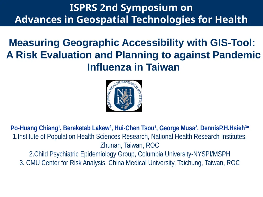
Description: Measuring Geographic Accessibility with GIS-Tool: A Risk Evaluation and Planning to against Pandemic Influenza in Taiwan Po-Huang Chiang1, Bereketab Lakew2, Hui-Chen Tsou1, George Musa2, DennisP.H.Hsieh3 1.Institute of Population Health

Presentation Embed Code

Download Presentation

Download Presentation The PPT/PDF document "" is the property of its rightful owner. Permission is granted to download and print the materials on this website for personal, non-commercial use only, and to display it on your personal computer provided you do not modify the materials and that you retain all copyright notices contained in the materials. By downloading content from our website, you accept the terms of this agreement.

Transcript:
Loading transcript�

Download Document

Here is the link to download the presentation.
"Measuring Geographic Accessibility with GIS-Tool:"The content belongs to its owner. You may download and print it for personal use, without modification, and keep all copyright notices. By downloading, you agree to these terms.

Related Presentations

LIQUID MEASURING CUP y y y Measuring Liquid and Dry Ingredients Correctly DRY MEAS...
GIS (Geographic Information Systems)
GEO 241: Geographic Information Systems I
Geographic Information Systems
Winter 2011 GIS Institute
What is a GIS? Geospatial technologies are technolo-gies for collecting and dealin...
Geographic Information Systems in Gerontology Research
Program Overview Definition of Electronic Accessibility Electronic accessibility, ...
Using GIS to Improve Accessibility to Phase 2 Cardiac Rehabilitation Programs
Measuring What Matters  A New Way of Measuring Geographic Access to Dental Care Se...
Measuring What Matters A New Way of Measuring Geographic Access to Dental Care Se...
Geographic Information Systems - GIS
APPLICATION OF GEOGRAPHIC INFORMATION SYSTEMS (gis) FOR Historic properties
GIS for Information Technology
Geographic Information Systems (GIS) – climate hazards