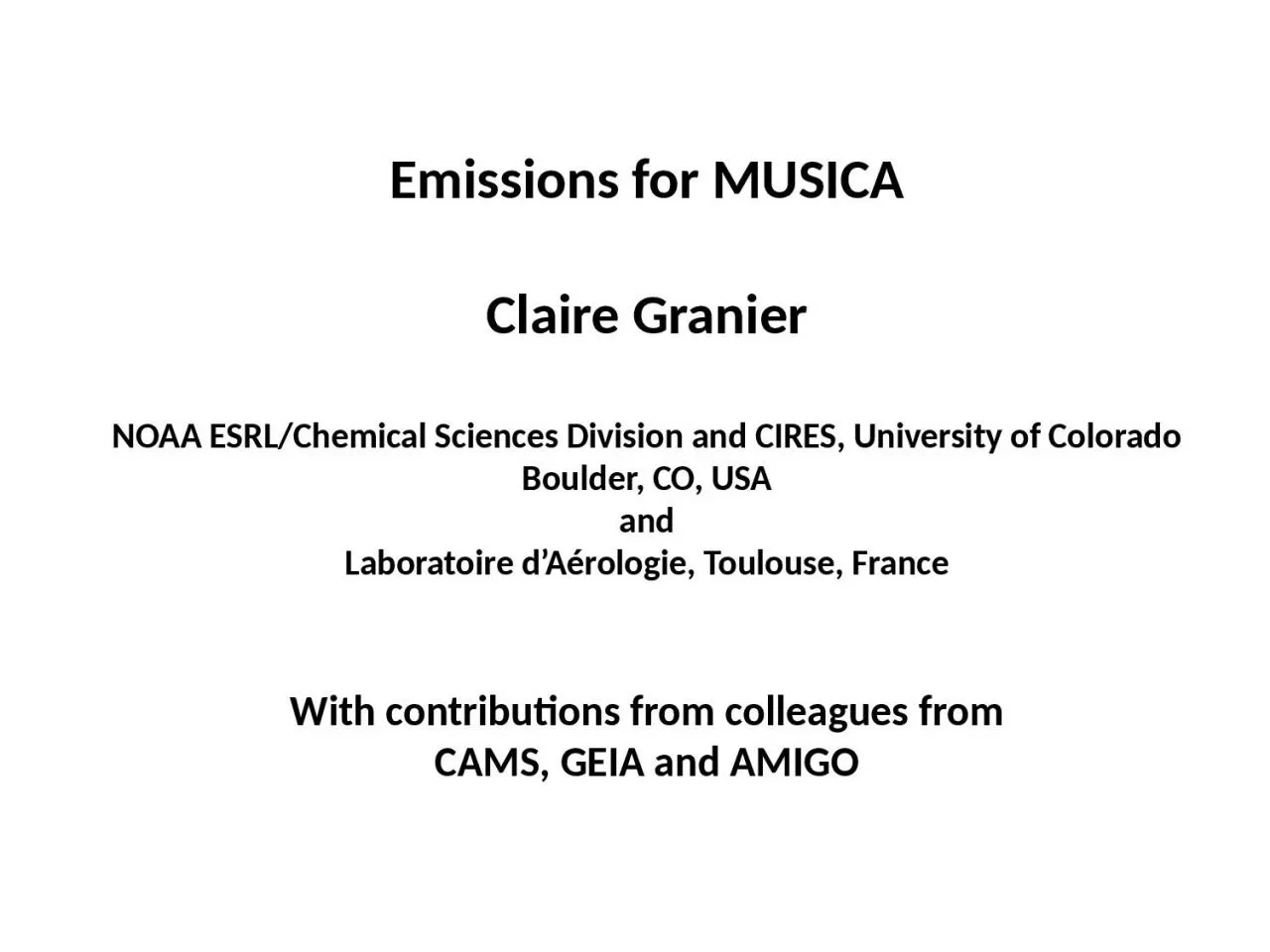
/
Emissions for MUSICA Claire Emissions for MUSICA Claire

Emissions for MUSICA Claire - PowerPoint Presentation

ximena
ximena . @ximena
Follow
64 views
Uploaded On 2023-12-30

Emissions for MUSICA Claire - PPT Presentation

Granier NOAA ESRLChemical Sciences Division and CIRES University of Colorado Boulder CO USA and Laboratoire dAérologie Toulouse France With contributions from colleagues from CAMS GEIA and AMIGO ID: 1036289

data emissions based cams emissions data cams based datasets inventories degree glob developed anthropogenic global access 2000 monthly america

Share:

Link:

Embed:

Download Presentation from below link

Download Presentation The PPT/PDF document "Emissions for MUSICA Claire" is the property of its rightful owner. Permission is granted to download and print the materials on this web site for personal, non-commercial use only, and to display it on your personal computer provided you do not modify the materials and that you retain all copyright notices contained in the materials. By downloading content from our website, you accept the terms of this agreement.


Presentation Transcript

1. Emissions for MUSICAClaire GranierNOAA ESRL/Chemical Sciences Division and CIRES, University of ColoradoBoulder, CO, USAandLaboratoire d’Aérologie, Toulouse, FranceWith contributions from colleagues fromCAMS, GEIA and AMIGO

2. Discussed in this talkWhat we know/don’t know/is available for:Anthropogenic emissionsNatural emissions (biogenic, soils, oceans, volcanoes)Emissions from fires

3. Three most recent datasets EDGAR v4.3.2 (JRC, Italy): 1970-2012, 0.1x0.1 degree, monthly averages CEDS (PNNL, USA): 1750-2014, 0.5x0.5 degree CAMS-GLOB-ANT: 2000-2019, 0.1x0.1 degree, monthly averages = combination of EDGAR + CEDS + extrapolationGeneral problem for anthropogenic emissions inventories: no up-to-date emissions, because data on energy use/fuel consumption/traffic/etc. need a few years to be compiled by agenciesRegional emissions: many data exist for the USA, Canada, Europe, China, Africa and for a few countries in Latin America Common issue: spatial distributionAll datasets provide emissions for each countryGridding based on proxies which are not described and almost never publicGlobal anthropogenic emissions - 1

4. VOCs speciation: Most inventories = emissions of total NMVOCsSome models include a speciation, either based on reactivity, or just as a global percentage of total NMVOCsGridded speciations:RETRO speciation: developed in 2000, never published, based on non-published EU data Huang et al. 2017 (EDGAR group): 1970-2012 0.1x0.1 degree speciation Particulate matterGlobal inventories: EDGAR, CEDS and CAMS provide BC and OC emissionsRegional inventories (EPA, ENV. Canada, EMEP, CAMS-Regional, etc.) provide only PMs emissions without information on speciation Difficult to use regional inventories to improve/evaluate global datasetsGlobal anthropogenic emissions - 2

5. Large differences between inventories. Systematic comparison under wayVery difficult to understand the differences: data used to calculate emissions are never publicInverse modelling studies might help, but limited to NO2, CO and maybe SO2 and NH3 From Elguindi, Granier et al., Earth Future, to be submittedNeed series of modelling studies to quantify the impact of emissions on model results. Would it be possible to use machine learning techniques + the MUSICA model for quantifying the impact of emissions?Global anthropogenic emissions - 3

6. Global anthropogenic emissions – shipsDataset developed by the Finnish Meteorological Office (FMI)Global and regional datasets based on realistic vessel traffic using AIS (Automatic Identification System) vessel transponder dataEmissions calculated using the Ship Traffic Emission Assessment Model (STEAM)2000-2018, all species, 0.25 degree resolutionTemporal resolution: dailyInland waterways under studyWith emissions from traffic decreasing in many countries, ship emissions are getting more and more important A new dataset recently developed: CAMS-GLOB-SHIPEmissions significantly higher than in previous inventories: needs testing

7. Temporal resolution of anthropogenic emissionsEmissions generally available as monthly averages, based on old temporal profilesNew developments at Barcelona Supercomputing Center + Lab. Aerologie New monthly, daily and weekly temporal profiles are being developed, based on observations and data collected in different world countries First version of the temporal profiles:CAMS-GLOB-TEMPOResidential CO emissions 2014-2019NewOld

8. Biogenic emissions : BVOCsMost groups use a version of the MEGAN modelMost recent version: CAMS-GLOB-BIO developed at the Charles Universityin Prague (Czech Rep.) (Sindelarova et al., ACP, 2014)time resolution: monthly means spatial coverage: globalspatial resolution: 0.5° x 0.5°Time period: 2000-2017Isoprene; a-pinene; b-pineneother monoterpenesSesquiterpenes; COhydrogen cyanideEthane; propanebutane and higher alkanesEthene; propene butene and higher alkenesMethanol; ethanolFormaldehyde; acetaldehydeother aldehydesAcetone; other ketonesformic acid; acetic acidtolueneList of modeled speciesThis BVOCs code can be implemented inthe MUSICA model

9. Soil NOx emissionsDifferent approaches have been tested, many based on Yienger and Levy (1995)or on Hudman and al. (ACP, 2012)A new version (also based on Yienger and Levy) has recently been developed by David Simpson and colleagues (Met Norway and Chalmers University in Sweden)  CAMS-GLOB-SOILTotal 2010 emissions (ng N/m2/s) Biome emissions (ng N/m2/s) Fertilizer emissions Deposition induced emissionsSomewhat higher (12.9 Tg NOx-N) than the Hudman et al. value (10.7 Tg) used in GEOS-Chem. Impact on NOx budget of these emissions needed

10. Oceanic emissionsA new dataset of emissions of DMS, OCS and halogens (CHBr3, CH3I, CH2Br2)has been developed by Met Norway in Oslo and GEOMAR in Kiel CAMS-GLOB-OCEThe emissions are based on a climatologies of DMS, OCS and halogens concentrations in sea water measured in different oceans+ ECMWF meteorologyTime period and spatial/temporal resolution:DMS: 2000-2015, 0.5x0.5 degree, dailyOCS: average for 2002-2014, 1x1 degree, monthlyHalogens: 2000-2015, 0.5x0.5, dailyFormulas and methodology could be implemented In MUSICADMS emissions on Aug., 1st, 2015

11. Continuously degassing volcanoes2007-2011 emissions from Popocatépetl, Mexico Very old dataset available as the old “GEIA inventories”New dataset based on the use of observations from the NOVAC network + ECMWF meteorology  CAMS-GLOB-VOLC1st version = 20 volcanoes, 2005-2010, daily averages

12. Many different fire emissions datasets developed over the past years, using:Active firesBurned areasFire radiative energyLocal data from forest servicesThese datasets used compilations of emission factors: Andreae and Merlet (GBC, 2001) - Akagi et al. (ACP, 2011); New compilation: Andreae (ACP, 2019) Emissions from fires

13. Commonly used fire inventories:GFED v4, van der Werf et al. (ESSD, 2017), up to 2016, 0.25x0.25 degreeFINN, v1.5, Wiedinmyer et al. (GMD, 2011), up to 2018, 1x1 km2GFAS, Kaiser et al. (BG, 2012), 0.1x0.1 degree, operationalComparison using data in Shi et al. (Env. Poll., 206, 2015)Regions in the plots: BO = Boreal; TE = Temperate; CE – Central; NA = North America; SA = South America, MIDE = Middle East, AF = Africa, AS = Asia)Emissions from fires : common inventories

14. All the CAMS-GLOB-xx mentioned will be publicly released in a few days Reference: Granier et al., The Copernicus Atmospheric Monitoring Service global and regional emissions, ECMWF/CAMS report, DOI: 10.24380/d0bn-kx16, 2019. Access to the datasets mentioned here (i.e. CAMS datasets, EDGAR, CEDS, GFED, GFAS, etc.)ECCAD database = Emissions of atmospheric Compounds and Compilation of Ancillary DataWebsite : eccad.aeris-data.frECCAD = Detailed metadata with complete reference + User-friendly tools to visualize and analyse emissions + Download of emissions data + possibility of hosting data with restricted access while the data are being checked and analyzed Access to emissions datasets

15. Partnerships for MUSICACAMS emission group (10 different institutes)NOAA ESRL/CSD and ESRL/GMDGEIA / IGAC: Global Emissions InitiAtive (inventories, evaluation of emissions, access to data, etc.) and its regional working groups (China, Latin America and Africa) AMIGO / IGAC: Analysis of eMIssions using Observations (evaluation of inverse modelling products, consistency between satellite observations, surface observations, etc.)+ Joint Research Center (Italy), Asia Center for Air Pollution (Japan), PAPILA project members (EU + Latin America institutions), and many others

16. ConclusionsMany datasets available for anthropogenic, natural and fire emissionsAnthropogenic emissions: up-to-date emissions are missing, extrapolation needed for the most recent yearsVery large differences between datasets: origin of the differences difficult to identify because of the lack of access to ancillary dataVery few analysis of the impact of using different emissions in models. Systematic evaluations needed. Tuning of emissions could hide problems not related to emissions Inverse modelling results could bring information, but currently limited to a few species. Tools to determine co-emitted species need to be developedThe ECCAD database gives access to (most) available data