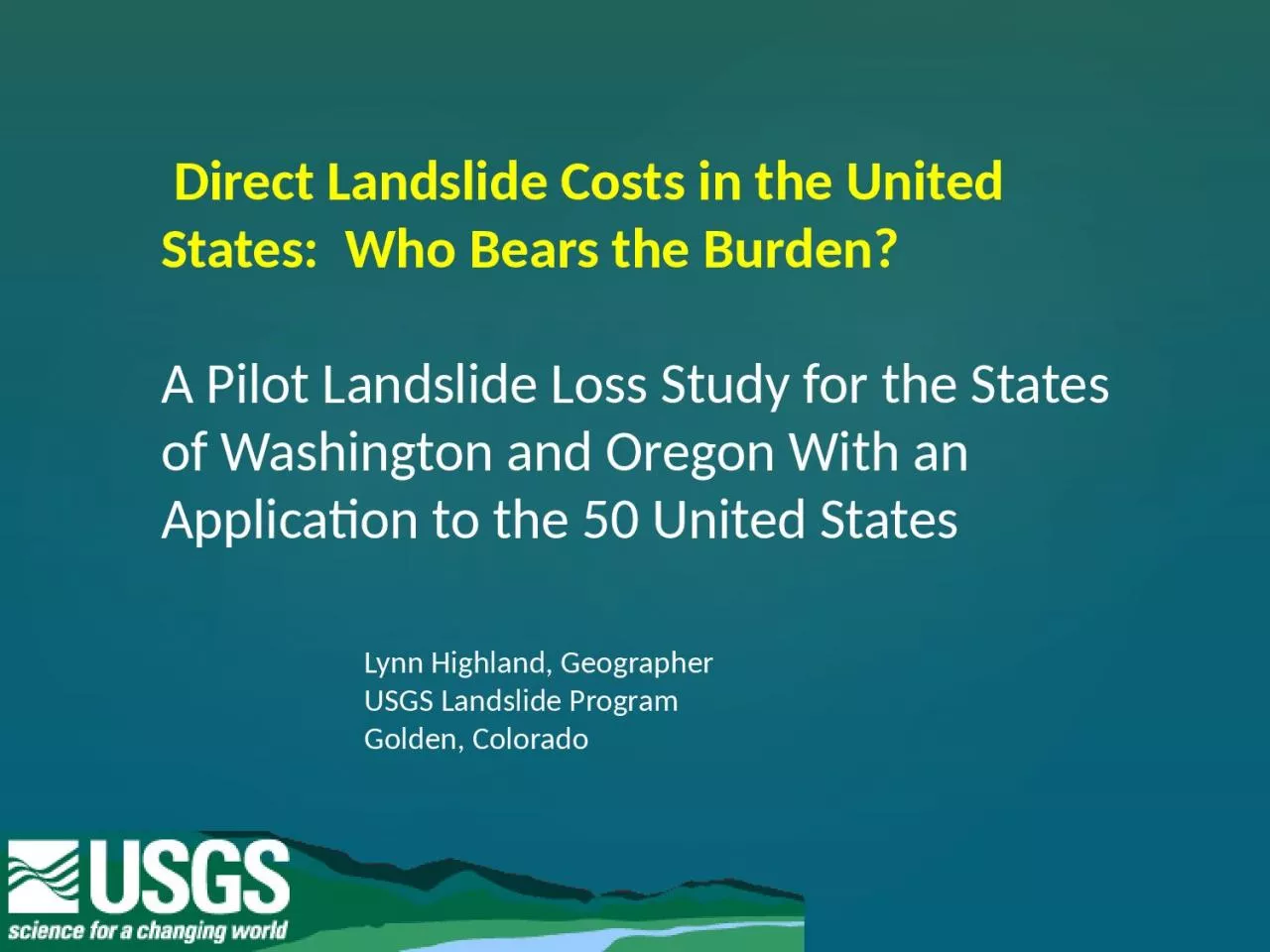
/
Direct Landslide Costs in the United States:  Who Bears the Burden? Direct Landslide Costs in the United States:  Who Bears the Burden?

Direct Landslide Costs in the United States: Who Bears the Burden? - PowerPoint Presentation

SunnySailor
SunnySailor . @SunnySailor
Follow
342 views
Uploaded On 2022-07-27

Direct Landslide Costs in the United States: Who Bears the Burden? - PPT Presentation

ID: 929536

cost landslide costs data landslide cost data costs usgs states billion photo boulder landslides loss golden studies united 2013

Share:

Link:

Embed:

Download Presentation from below link

Download Presentation The PPT/PDF document "Direct Landslide Costs in the United Sta..." is the property of its rightful owner. Permission is granted to download and print the materials on this web site for personal, non-commercial use only, and to display it on your personal computer provided you do not modify the materials and that you retain all copyright notices contained in the materials. By downloading content from our website, you accept the terms of this agreement.


Presentation Transcript

Slide1

Direct Landslide Costs in the United States: Who Bears the Burden? A Pilot Landslide Loss Study for the States of Washington and Oregon With an Application to the 50 United States

Lynn Highland, Geographer

USGS Landslide Program

Golden, Colorado

Slide2

The Colorado Flooding of September is costing homeowners, businesses and local governments nearly $2 billion, much of it uninsured

Special GSA Session,

The 2013 Colorado Flood Event:

A

Perfect Storm Hits a Dynamic

Landscape

Causes

, Processes, and Effects.

8:00 AM Tuesday, October 29 –Ballroom

2AB and 3AB

Slide3

Arapahoe Ave. in Boulder, CO

Photo by Jonathan

Godt

, USGS

Slide4

Jamestown, CO (north and west of Boulder)Photo credit: The Denver Post, Brandon Jacobs

Slide5

Jamestown, CO – Sept. 16 – photo by Jason Kean, USGS

Slide6

Photo by Jonathan

Godt, USGS

Big Thompson Canyon, west of Estes Park

Slide7

Rockslide in Golden Gate Canyon

near Golden, COPhoto by Dennis Staley, USGS

Slide8

Larimer County, Highway 34 (

north of Boulder) – photo by Justin Smith, Larimer County Sheriff

Slide9

Extent of

landslidingCaused by heavy rainfall

And flooding

Golden

Jamestown

Boulder

Slide10

From a global perspective the U.S. has the longest history of landslide loss studies

Smith (1958)

„hundreds of millions of annual monetary losses“

Krohn & Slosson (1976)

Systematic cost extrapolation

Fleming & Taylor (1980)

USGS Publication

Estimating the Costs of Landslide Damage in the United States

Schuster (1978)

Annual costs of > $1bn

The focus was on case study regions and years of increased landslide activity

Data based on expert interviews and archive information

Cost figures start at city or county level and end up as regional and national extrapolations

Slide11

After 2000 several studies covering

a broad spectrum of topics

Walkinshaw (1992)

Landslide Costs for the U.S. Highway System

Highland (2006)

U.S. Landslide losses – Seven-State Pilot Project

In Future

A new cost estimate for the U.S.

Crovelli & Coe (2009)

Probablistic Cost Estimation for the San Francisco Bay Area

Cross-sector studies and additional key focus on transportation

Cost assessment, socioeconomic evaluation and probabilistic loss modeling

Strategies for compiling cost data more systematically

Slide12

Why do we need an up-to-date National Cost Estimate for Landslides, that

includes casualties?

Slide13

EM-DAT: The CRED/OFDA International Disaster Databas

e

Global landslide loss record 1900-2013

Africa

Very little data

Americas

$2.7 billion

Asia

$2.8 billion

Europe

$4.9 million

Oceania

$2.5 million

Today‘s global disaster databases

A reliable data source?

Slide14

United States estimate dates from the 1985 National Research Council, Committee on Ground Failure report--still referring to this cost figure:

$1 – $2 Billion per year (average)

25

– 50 Casualties per year

(

*

$

2.1 – $4.3 Billion modified

to

reflect

inflation, 2013 Dollars)

*

Slide15

Why Study Washington and Oregon first?Good solid data in the form of

maps, reports, cost studies

H

ave a focused, sustained interest in mitigating their landslide hazard

A willingness to share data and cooperate

Slide16

POSITIVE DEVELOPMENTS for a new cost figureSince 1985, the explosion of available digital data has made landslide costs easier to obtain and hopefully more accurateWe won’t have to rely on extrapolation and unreliable estimates, as much as we did in the past.

The data is better itemized as to who bears brunt ofthe cost – Private, State and local, or Federal entities

Slide17

There are still areas of the U.S. with little or no dataProblems remain for extracting landslide data from other associated hazards, such as earthquakes and floods

Still no insurance for landslides which if existed, would be a great help in tracking costsCHALLENGES

Slide18

WHO BEARS THE COSTS OF LANDSLIDES?

Slide19

Landslides are notorious for causing skyrocketing indirect costs such as:

Regulatory Issues

Slide20

HOW WILL THESE COSTS BE PRESENTED?

Slide21

Thanks for your Attention!