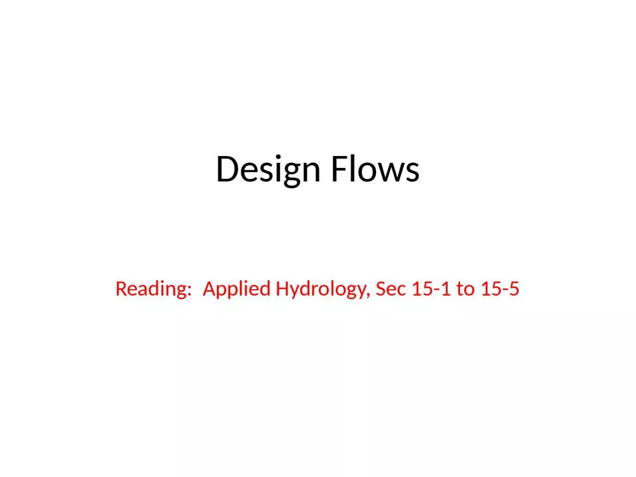
/
Design Flows Reading:  Applied Hydrology, Sec 15-1 to Design Flows Reading:  Applied Hydrology, Sec 15-1 to

Design Flows Reading: Applied Hydrology, Sec 15-1 to - PowerPoint Presentation

carny
carny . @carny
Follow
66 views
Uploaded On 2023-09-22

Design Flows Reading: Applied Hydrology, Sec 15-1 to - PPT Presentation

155 2 Hydrologic design For water control Mitigation of adverse effects of high flows or floods Design flows for conveyance structures storm sewers drainage channels and regulation structures detention basins reservoirs ID: 1019524

time flow rational runoff flow time runoff rational storm duration services min rainfall peak pipe storage design intensity development

Share:

Link:

Embed:

Download Presentation from below link

Download Presentation The PPT/PDF document "Design Flows Reading: Applied Hydrology..." is the property of its rightful owner. Permission is granted to download and print the materials on this web site for personal, non-commercial use only, and to display it on your personal computer provided you do not modify the materials and that you retain all copyright notices contained in the materials. By downloading content from our website, you accept the terms of this agreement.


Presentation Transcript

1. Design FlowsReading: Applied Hydrology, Sec 15-1 to 15-5

2. 2Hydrologic designFor water controlMitigation of adverse effects of high flows or floodsDesign flows for conveyance structures (storm sewers, drainage channels) and regulation structures (detention basins, reservoirs)For water useManagement of water resources to meet human needs and conservation of natural lifeDetermination of storage capacity

3. 3Design flow computationsMethodsRational methodModified Rational MethodSCS-TR55 Method

4. 4Rational MethodUsed to find peak flows for storm sewersIf a rainfall of i intensity begins instantly and continues indefinitely, the rate of runoff will increase until the time of concentration (tc). AssumptionsPeak runoff rate at the outlet is a function of the average rainfall rate during tc (peak runoff does not result from a more intense storm of shorter duration during which only a portion of the watershed is contributing to the runoff)tc employed is the time for runoff to flow from the farthest point in the watershed to the inflow point of the sewer being designedRainfall intensity is constant throughout the storm duration

5. 5Rational FormulaThe rational formula is given by:Q = peak discharge in cfs which occurs at tci = rainfall intensity in in/hr (duration used to compute i = tc)A = watershed area in acresC = runoff coefficient (0 ≤C ≤ 1)An urban area consisting of sub-areas with different surface characteristicsj = number of sub-catchments drained by a sewerComposite rational equation

6. 6Runoff Coefficient CC is the most difficult variable to accurately determine in the rational methodThe fraction of rainfall that will produce peak flow depends on:Impervious coverSlopeSurface detentionInterceptionInfiltrationAntecedent moisture conditions

7. 7C based on land use

8. 8C values based on soil groups

9. 9Rainfall intensity ii: rainfall rate in in/hri is selected based on rainfall duration and return periodduration is equal to the time of concentration, tcreturn period varies depending on design standardstc = sum of inlet time (to) and flow time (tf) in the upstream sewers connected to the outletLi is the length of the ith pipe along the flow path and Vi is the flow velocity in the pipe.

10. 10Pipe capacity for storm sewersAssumption: pipe is flowing full under gravityManning or Darcy-Weisbach equation is applicableManning’s equationDarcy-Weisbach equationValid for Q in cfs and D in feet. For SI units (Q in m3/s and D in m), replace 2.16 with 3.21.Equation is valid for both SI and English system as long as the units are consistent

11. 11Example 15.1.1Given Td =10 min, C = 0.6, ground elevations at the pipe ends (498.43 and 495.55 ft), length = 450 ft, Manning n = 0.015, i=120T0.175/(Td + 27), compute flow, pipe diameter and flow time in the pipe

12. 12Example with composite CABCDReachDescription of flowCSlope (%)Length (ft)Area (acre)A-BNatural channel0.414.53008B-CNatural channel0.85354020C-DStorm drain (n = 0.015, D = 3 ft)0.811.250010Compute tc and peak flow at D for i = 3.2 in/hr

13. 13SolutionCompute tc for AB and BC using Kirpich formula in the text (Table 15.1.2)For CD, compute velocity by Manning’s equation and tc = length/velocity

14. 14Modified rational methodExtension of rational method for rainfalls lasting longer than the time of concentrationCan be used to develop hydrographs for storage design, rather than just flood peaksCan be used for the preliminary design of detention storage for watersheds up to 20 or 30 acres

15. 15Modified rational method equationThe hydrograph produced by modified rational method is a trapezoid with duration of rising and falling limb equal to tc. Hydrograph for a basin with tc = 10 min and rainfall duration = 30 min will look like the following:Td = 30 mintc tc Qt

16. 16Application of modified rational methodDetermine the critical duration (Td) and volume (Vs) for the design storm that will require maximum storage under future developed conditionsQA (cfs) is pre-development peak discharge, A is watershed area (acres), C is runoff coefficient, Tp = tc (min), and Td is in minQp is the future peak discharge associated with Td

17. 17Ex. 15.4.1Rainfall-intensity-duration equation is given as i=96.6/(Td+13.9), compute Td for a 25 acre watershed with C = 0.825. The allowable pre-development discharge is 18 cfs, and tc for pre- and post-development are 40 and 20 min, respectively.A = 96.6, b = 13.9, QA = 18 cfs, Tp = 20 min, A = 25 acre, C = 0.825 Td = 27.23 min

18. 18Ex. 15.4.2Determine the maximum detention storage if g = 2Detention storage is given by,The volume of runoff after development = Qp*Td = 79, 140 ft3. Therefore, 53746/79140 = 68% of runoff will be stored in the proposed detention pond.

19. Situational Awareness for Flash Flooding

20. Emergency Response System (CAPCOG)

21. ESInet – Emergency Services Internet NetworkSlide from: John BrosowskyProduct Development Director, GeoCommNext Generation 911Geographic location by coordinates

22. Water Web Services Hub for CAPCOGUSGSLCRANWSCOANDFD

23. Tropical Storm Hermine, Sept 7-8, 2010

24. Local Information during Tropical Storm Hermine (7-8 Sept 2010)http://hydromet.lcra.org http://coagis1.ci.austin.tx.us/website/COAViewer_fews/viewer.htm http://ubcwcid.org/Overview/Overview.aspx?id=1 LCRACity of AustinUpper Brushy Creek (Round Rock)TV

25. Internet CommunicationsPeopleMediaLocal GovernmentFederal GovernmentPeople MediaLocal GovernmentFederal GovernmentInformation Consumers Information Producers We are all connectedWeb services can play an important role in this……

26. http://waterservices.usgs.gov/nwis/iv?sites=08158000&period=P7D&parameterCd=00060

27. Colorado River at Austin27http://waterservices.usgs.gov/nwis/iv?sites=08158000&period=P7D&parameterCd=00060 I accessed this WaterML service at 7:10AMAnd got back these flow data from USGS which are up to 6:00AM Central time

28.

29. World United States Texas AustinHome

30.

31. Observation Data ServicesProvide real-time data servicesStreamflow, stage, precipitationIndependent of WaterML versionFeed appropriate models with forcing dataLand-surface modelsHMS, RAS

32. River Channel Data ServicesConvey inputs necessary for hydraulic models to runConnectivity, length, slope, N

33. River Channel Data Serviceshttp://explorer.arcgis.com/?open=ad7c4dbe299a458ca52b9caa725a2d4d

34. IBM is collaborating with UT…. …. to help build a Smarter Planet34

35. 35

36. Research Question: Can VLSI simulation models….. ….. be adapted to apply to river networks?36

37. Web Services HUBUSGSLCRANWSCOANDFDWeb Services HUBInputsData Services(WaterML)MappingServicesModelsFlood MappingServicesMapsOutputsModelingServicesData and Mapping ServicesData Services(WaterML)MappingServices