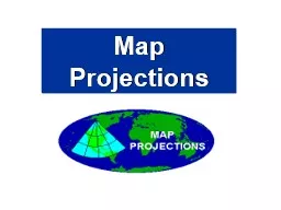
PPT-Map Projections Students must be able to identify and understand the following projections.
Author : cheryl-pisano | Published Date : 2018-03-09
Mercator Polar Robinson Mercator Projection Most Accurate in the tropics from Cancer to Capricorn Most Distortion at the North and South Poles Mercator Projection
Presentation Embed Code
Download Presentation
Download Presentation The PPT/PDF document "Map Projections Students must be able to..." is the property of its rightful owner. Permission is granted to download and print the materials on this website for personal, non-commercial use only, and to display it on your personal computer provided you do not modify the materials and that you retain all copyright notices contained in the materials. By downloading content from our website, you accept the terms of this agreement.
Map Projections Students must be able to identify and understand the following projections.: Transcript
Download Rules Of Document
"Map Projections Students must be able to identify and understand the following projections."The content belongs to its owner. You may download and print it for personal use, without modification, and keep all copyright notices. By downloading, you agree to these terms.
Related Documents