PDF-SOIL EROSION MODELLING BY USING GI S REMOTE SENSING A CASE STUDY GANOS MOUNTAIN KEY WORDS ABSTRACT
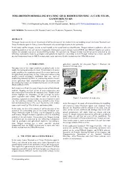
INTRODUCTION 2 THE STUDY AREA AND MATERIALS 1681 brPage 2br The International Archives of the Photogram metry Remote Sensing and Spatial Informa tion Sciences Vol
Download Presentation
"SOIL EROSION MODELLING BY USING GI S REMOTE SENSING A CASE " is the property of its rightful owner. Permission is granted to download and print materials on this website for personal, non-commercial use only, provided you retain all copyright notices. By downloading content from our website, you accept the terms of this agreement.
Presentation Transcript
Transcript not available.