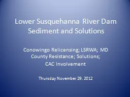
PPT-Lower Susquehanna River Watershed Assessment
Author : danika-pritchard | Published Date : 2018-12-05
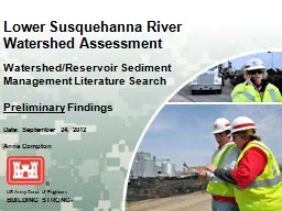
Date September 24 2012 WatershedReservoir Sediment Management Literature Search Preliminary Findings Anna Compton Literature Search Purpose Review analyze and synthesize
Presentation Embed Code
Download Presentation
Download Presentation The PPT/PDF document "Lower Susquehanna River Watershed Assess..." is the property of its rightful owner. Permission is granted to download and print the materials on this website for personal, non-commercial use only, and to display it on your personal computer provided you do not modify the materials and that you retain all copyright notices contained in the materials. By downloading content from our website, you accept the terms of this agreement.
Lower Susquehanna River Watershed Assessment: Transcript
Download Rules Of Document
"Lower Susquehanna River Watershed Assessment"The content belongs to its owner. You may download and print it for personal use, without modification, and keep all copyright notices. By downloading, you agree to these terms.
Related Documents