/
Writing Earth history with continental-margin sedimentary processes Writing Earth history with continental-margin sedimentary processes

Writing Earth history with continental-margin sedimentary processes - PowerPoint Presentation

elina
elina . @elina
Follow
0 views
Uploaded On 2024-03-13

Writing Earth history with continental-margin sedimentary processes - PPT Presentation

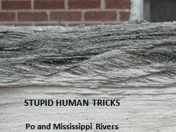
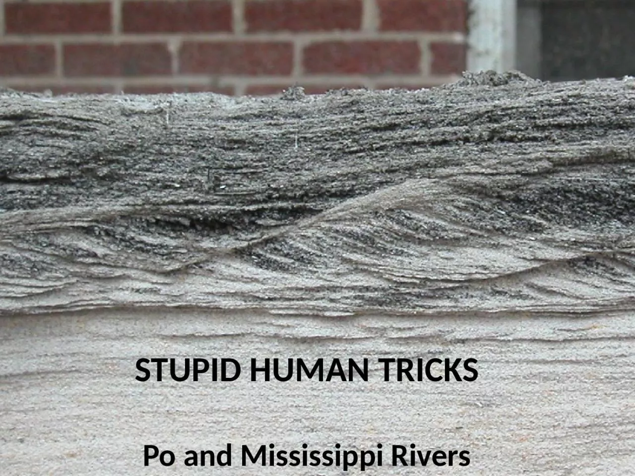
STUPID HUMAN TRICKS Po and Mississippi Rivers Po River Drainage basin includes south flank of Alps north flank of Apennines Area 75000 km 2 Columbia River 670000 km ID: 1047900

river sediment adriatic delta sediment river delta adriatic human discharge artificial flood modern northward northern lagoon natural million columbia

Share:

Link:

Embed:

Download Presentation from below link

Download Presentation The PPT/PDF document "Writing Earth history with continental-m..." is the property of its rightful owner. Permission is granted to download and print the materials on this web site for personal, non-commercial use only, and to display it on your personal computer provided you do not modify the materials and that you retain all copyright notices contained in the materials. By downloading content from our website, you accept the terms of this agreement.


Presentation Transcript

1. Writing Earth history with continental-margin sedimentary processesSTUPID HUMAN TRICKS Po and Mississippi Rivers

2. Po RiverDrainage basin includes: south flank of Alps, north flank of ApenninesArea = 75,000 km2(Columbia River = 670,000 km2)Sediment discharge = ~15 million t/y(Columbia River = 10 million t/y)Po sediment yield (production from square meter of land surface) is much greater than Columbia River basin

3. 2/27/99Venice

4. Po RiverDrains northern Italy Enters the northern Adriatic Sea, forming delta in late HoloceneEvidence of lobe switching dated in sediments back to Bronze AgeSedimentation causes northward migration of deltaSediment began to enter Venice lagoon to northFilling of lagoon would have eliminated the “natural moat” protecting the Republic of VeniceTherefore, path of Po River altered to a southward location (1599-1604)

5. Ancient Po mouth had many distributaries through time, covering a large area

6. Delta formation

7. Before human controlNatural rate of coastal progradation 4 m/y from 1000 BC to 1200AD Seven points of discharge described by Plinio il Vecchio

8. abandonment of Po di Primaro1152 AD a major natural avulsion northward shifting of distributary channelsVenice Republic is threatened by the potential infilling of the lagoon 1604 AD digging of a diversionary canal (Taglio di porto Viro) The artificial form of the modern delta

9. Calendar YearsPastures to CroplandDeforestation& MiningDams & Diversions

10. Modern Po DeltaFive distributaries, but only one operates during non-flood conditionsPredominant southward transport and accumulation of sediment, which causes northward migration of delta

11. Po River todaySediment supply reduced by dams and mining for construction aggregateSediment reaching river is constrained by artificial levees (i.e., does not reach floodplains), and carried to Adriatic SeaCuspate delta builds into Adriatic Sea ~50% of sediment dischargeLocated far enough south of Venice, sediment carried away ~50% of sediment discharge

12. River manipulation caused fast progradation and delta lobe switchingRapid accumulation of a large amount of sediment caused by confining the Po discharge to a small areaThe present delta is artificially held in position within context of the northern Adriatic oceanographic processesNatural and artificial subsidence are enhanced by levee construction, which prevents overbank sedimentationRiver-bed excavation and river damming in the drainage basin during the last 50 years led to a marked decrease in sediment supplyResult of human changes to Po River mouth

13. October 2000 floodDespite the best intentions of humans...

14.

15.

16.

17.

18.       Landsat 1 - Jan 16,1973                                                                                              

19.

20.

21.

22.

23.

24.

25.

26.

27.

28.

29.

30. Writing Earth history with continental-margin sedimentary processes

31.

32.

33.

34.

35.

36. List of some things we didDammed river – reduced sediment supply, 400 million t/y to 200 t/yPrevented lobe switching – eliminated sediment supply to other parts of delta plainBuilt artificial levees – reduced nourishment of flood plainConstrained flow to modern Balize delta – caused delta to build to shelf break, and lose sediment to continental slopeRemoved water and natural gas – accelerated consolidation of deltaic sediment and subsidence of land surfaceDredged channel – created depressions that act as sediment traps and pathways for storm surge

37. Potential alteration to Mississippi River mouthto help promote development of wetlands

38. http://www.manhattanpast.comEvacuation map of Manhattan during hurricane SandyHighest flood risk (red) is shoreline built since 1776Additional evacuation zones built on bedrock (no human-induced subsidence)

39.

40. 4square check-insPower outage