PDF-wwwedrsilvercom
TSX EDR NYSE EXK
July 2020 Guadalupe Y Calvo Gold Silver Project Chihuahua State Mexico
2
GUADALUPE Y CALVO
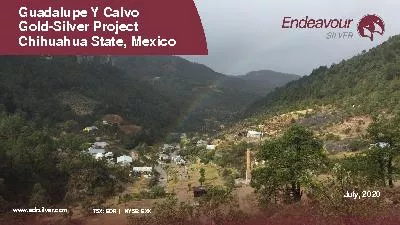
OVERVIEW Well
located
property
excellent
road
access
good
local
Download Presentation
"wwwedrsilvercom" is the property of its rightful owner. Permission is granted to download and print materials on this website for personal, non-commercial use only, provided you retain all copyright notices. By downloading content from our website, you accept the terms of this agreement.
Presentation Transcript
Transcript not available.