PPT-National Hurricane Center
Author : fauna | Published Date : 2024-07-06
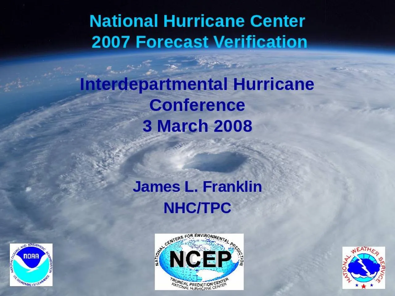
2007 Forecast Verification Interdepartmental Hurricane Conference 3 March 2008 James L Franklin NHCTPC Summary Atlantic Track OFCL track errors set records for accuracy
Presentation Embed Code
Download Presentation
Download Presentation The PPT/PDF document "National Hurricane Center" is the property of its rightful owner. Permission is granted to download and print the materials on this website for personal, non-commercial use only, and to display it on your personal computer provided you do not modify the materials and that you retain all copyright notices contained in the materials. By downloading content from our website, you accept the terms of this agreement.
National Hurricane Center: Transcript
2007 Forecast Verification Interdepartmental Hurricane Conference 3 March 2008 James L Franklin NHCTPC Summary Atlantic Track OFCL track errors set records for accuracy from 3696 h Errors continue their downward trends although skill has been flat for several years. Developed over the course of sev eral years in consultation with emergency managers broadcast meteorologists and others this new map will show eographical areas where inundation from storm surge could occur How high above ground the water could reac 32 27 Tide Waves Freshwater Input Total Water Level brPage 4br Central Pressure Storm Intensity Size Storm Forward Spee Angle of Approach to Coast Shape of the Coastline Width and Slope of the Ocean Bottom Local Features The Many Factors that Influe ): NHC and NOAA National Weather Service(NWS)Forecast Offices will determine the area most at risk from lifethreatening surge through a collaborative process. In addition to the graphic, the h Chris Landsea National Hurricane Center. March 2010. Interdepartmental Hurricane Conference. How does NHC analyze and forecast hurricanes?. How do the forecasters blend the various (surface . obs. ENTER TROPICAL CYCLONE REPORT HURRICANE ARTHUR (AL 01 2014 ) 5 July 201 4 National Hurricane CenterAprilEAST VISIBLE SATELLITE IMAGE OF H Hurricane Arthur Hurricane Arthur5 JULY 2014SYNOP ENTER TROPICAL CYCLONE REPORT HURRICANE NATE (AL 16 2017 ) 4 8 October 2017 John L. Beven II and Robbie Berg National Hurricane CenterAprilCOMBINED NIGHTTIME VISIBLE/INFRARED IMAGERY OF NATE AT 24 ENTER TROPICAL CYCLONE REPORT HURRICANE HERMINE ( AL09 ) 28 August 3 2016 Robbie Berg National Hurricane CenterJanuary Herminewas a category hurricane (on the SaffirSimpson Hurricane Wind Sc ENTERTROPICAL CYCLONE REPORTHURRICANE HARVEYAL09201717 August 1501 September 2017Eric S Blakeand David A Zelinsky National Hurricane CenterMay2018NASA TERRA MODIS INFRAREDIMAGE OF HARVEY AT 0419 UTC 2 ENTERTROPICAL CYCLONE REPORTHURRICANE MICHAELAL142018711October2018John L Beven II Robbie Berg and Andrew Hagen National Hurricane Center1 Hurricane Michael 2 Hurricane Michael711 OCTOBER 2018SYNO Outline. What is the water cycle?. How do thunderstorms form?. How do hurricanes form?. What is the structure of a hurricane?. How strong can the winds get in a hurricane?. What kind of damage can a hurricane cause?. 1 the 2004 hurricane season, and related health outcomes in Florida. Utilizing the Florida Climate Extremes Index, technical reports, and newspapers, planning. B onnie, Charley, Frances, Ivan, dest Discover Your World With NOAA Follow That Hurricane! Startled man ready to run after a hurricane driven wave smashes into seawall Historic NWS Collection. Courtesy NOAA. Follow That Hurricane! D Mark DeMaria. National Hurricane Center, Miami, FL. GFDL Hurricane Science Symposium. May 2, 2017. 1. Outline. 2. 1954-1975 – . Barotropic. and statistical track . forecast model era.
Download Document
Here is the link to download the presentation.
"National Hurricane Center"The content belongs to its owner. You may download and print it for personal use, without modification, and keep all copyright notices. By downloading, you agree to these terms.
Related Documents