PPT-A COMPLETED HURRICANE SURGE VISUALIZATION MODEL AND ONGOING

Author : myesha-ticknor | Published Date : 2017-11-02

B Lee Lindner Stephen Duke Janet Johnson College of Charleston Frank Alsheimer National Weather Service Charleston 1 Background CHARLESTON HAS EXPERIENCED MANY

Presentation Embed Code

Download Presentation

Download Presentation The PPT/PDF document "A COMPLETED HURRICANE SURGE VISUALIZATIO..." is the property of its rightful owner. Permission is granted to download and print the materials on this website for personal, non-commercial use only, and to display it on your personal computer provided you do not modify the materials and that you retain all copyright notices contained in the materials. By downloading content from our website, you accept the terms of this agreement.

A COMPLETED HURRICANE SURGE VISUALIZATION MODEL AND ONGOING: Transcript


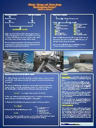
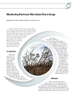
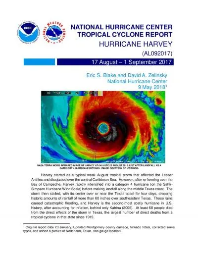
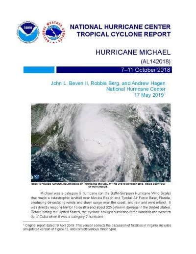
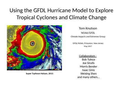
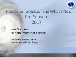
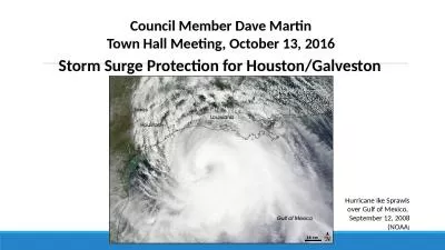
B Lee Lindner Stephen Duke Janet Johnson College of Charleston Frank Alsheimer National Weather Service Charleston 1 Background CHARLESTON HAS EXPERIENCED MANY HITS OR NEAR MISSES IN THE PAST 20 YEARS . 32 27 Tide Waves Freshwater Input Tota l Water Level brPage 4br Central Pressure Storm Intensity Size Storm Forward Speed Angle of Approach to Coast Shape of the Coastline Width and Slope of the Ocean Bottom Local Features The Many Factors that Infl LTC4366 Floating Surge Stopper Surge Stoppers FLOATING ADJUSTABLE CLAMP VOUTREF+– V IN9V TO 500V 28V100ms/DIV28V 43V CLAMP 100V/DIV20V/DIV 20ms/DIV 200V CLAMP 160V 160V 200V/DIV100V/DIV In harsh The Forgotten . Factor. 1. Ricardo A. . Alvarez . 2. . CLIMATE CHANGE TROPICAL CYCLONES. . Global Warming. . Sea Level Rise Storm Surge. B. Lee Lindner, . Stephen . Duke, . Janet Johnson. College of Charleston. Frank . Alsheimer. National Weather Service, Charleston. 1. Background. CHARLESTON HAS EXPERIENCED MANY HITS OR NEAR MISSES IN THE PAST 20 YEARS . Wastewater Lift Station at Fort Bragg, North Carolina. November 16, 2015. Randall L. Foulke, PE, BCEE, LEED AP, AECOM. Patrick C. Jennings, PE, Old North Utility Services, Inc.. Adam J. Paukovich, PE, AECOM. 24 ENTER TROPICAL CYCLONE REPORT HURRICANE HERMINE ( AL09 ) 28 August – 3 2016 Robbie Berg National Hurricane CenterJanuary Herminewas a category hurricane (on the SaffirSimpson Hurricane Wind Sc By Benton D McGee Roland W Tollett and Burl B GoreePressure transducers sensors are accurate reliable and cost-effective tools to measure and record the magnitude extent and timing of hurricane storm ENTERTROPICAL CYCLONE REPORTHURRICANE HARVEYAL09201717 August 1501 September 2017Eric S Blakeand David A Zelinsky National Hurricane CenterMay2018NASA TERRA MODIS INFRAREDIMAGE OF HARVEY AT 0419 UTC 2 ENTERTROPICAL CYCLONE REPORTHURRICANE MICHAELAL142018711October2018John L Beven II Robbie Berg and Andrew Hagen National Hurricane Center1 Hurricane Michael 2 Hurricane Michael711 OCTOBER 2018SYNO Tom Knutson. NOAA/GFDL. Climate Impacts and Extremes Group. GFDL/NOAA, Princeton, New Jersey. May 2017. Super Typhoon . Haiyan. , 2013. Collaborators :. . Bob . Tuleya. Joe . Sirutis. Morris Bender. . Frank . Revitte. National Weather Service. Weather Forecast Office. New Orleans/Baton Rouge. 2017 Seasonal Recap. Above normal activity. 17 Total Named Storms. 7. Tropical Storms. 4. Hurricanes . September 12, 2008 (NOAA. ). Council Member Dave Martin. Town . Hall Meeting, October 13, 2016. Storm Surge Protection for Houston/Galveston. Coastal Spine. Galveston Island. Bolivar Peninsula. . . and. Health Care Coalition Power Outage Exercise. Exercise Evaluation Conference. Kellyn Pak. HPP Program Manager. EMS Agency. Welcome. to the. . Exercise Evaluation Conference. Darren Verrette. Disaster Program Manager.

Download Document

Here is the link to download the presentation.
"A COMPLETED HURRICANE SURGE VISUALIZATION MODEL AND ONGOING"The content belongs to its owner. You may download and print it for personal use, without modification, and keep all copyright notices. By downloading, you agree to these terms.

Related Documents