PPT-What can a Map Tell us?
Author : karlyn-bohler | Published Date : 2017-12-23
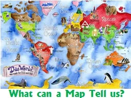
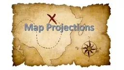
Mrs Rida Definitions Area Distortion When the size of things on the map is misrepresented Shape Distortion When the shape of things on the map is misrepresented
Presentation Embed Code
Download Presentation
Download Presentation The PPT/PDF document "What can a Map Tell us?" is the property of its rightful owner. Permission is granted to download and print the materials on this website for personal, non-commercial use only, and to display it on your personal computer provided you do not modify the materials and that you retain all copyright notices contained in the materials. By downloading content from our website, you accept the terms of this agreement.
What can a Map Tell us?: Transcript
Download Rules Of Document
"What can a Map Tell us?"The content belongs to its owner. You may download and print it for personal use, without modification, and keep all copyright notices. By downloading, you agree to these terms.
Related Documents
![[PDF] DOWNLOAD Tell the Client\'s Story: Mitigation in Criminal and Death Penalty Cases](https://thumbs.docslides.com/1017660/pdf-download-tell-the-client-s-story-mitigation-in-criminal-and-death-penalty-cases.jpg)