PPT-GEOGG141/GEOG3051 Principles & Practice of Remote Sensing (PPRS)
Author : kittie-lecroy | Published Date : 2018-03-17
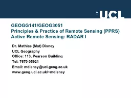
Active Remote Sensing RADAR I Dr Mathias Mat Disney UCL Geography Office 113 Pearson Building Tel 7670 0592 1 Email mdisneyuclgeogacuk wwwgeoguclacukmdisney 2 OVERVIEW
Presentation Embed Code
Download Presentation
Download Presentation The PPT/PDF document "GEOGG141/GEOG3051 Principles & Pract..." is the property of its rightful owner. Permission is granted to download and print the materials on this website for personal, non-commercial use only, and to display it on your personal computer provided you do not modify the materials and that you retain all copyright notices contained in the materials. By downloading content from our website, you accept the terms of this agreement.
GEOGG141/GEOG3051 Principles & Practice of Remote Sensing (PPRS): Transcript
Download Rules Of Document
"GEOGG141/GEOG3051 Principles & Practice of Remote Sensing (PPRS)"The content belongs to its owner. You may download and print it for personal use, without modification, and keep all copyright notices. By downloading, you agree to these terms.
Related Documents