PPT-Gulf of Mexico Alliance
Author : kittie-lecroy | Published Date : 2016-05-01
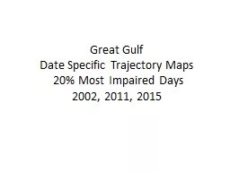
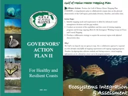
Master Mapping Plan What do we mean by mapping Elevation Topography Bathymetry TopoBathy Beach Profiles and Ground Truth Imagery and Basemaps RGB Orthophotos
Presentation Embed Code
Download Presentation
Download Presentation The PPT/PDF document "Gulf of Mexico Alliance" is the property of its rightful owner. Permission is granted to download and print the materials on this website for personal, non-commercial use only, and to display it on your personal computer provided you do not modify the materials and that you retain all copyright notices contained in the materials. By downloading content from our website, you accept the terms of this agreement.
Gulf of Mexico Alliance: Transcript
Download Rules Of Document
"Gulf of Mexico Alliance"The content belongs to its owner. You may download and print it for personal use, without modification, and keep all copyright notices. By downloading, you agree to these terms.
Related Documents