PDF-Map and Guide
The ofcial newspaper
of Zion National Park
Spring 2015
Plan Your Visit
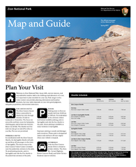
Welcome to Zion National Park Steep clis narrow canyons and
unpredictable weather add to the
Download Presentation
"Map and Guide" is the property of its rightful owner. Permission is granted to download and print materials on this website for personal, non-commercial use only, provided you retain all copyright notices. By downloading content from our website, you accept the terms of this agreement.
Presentation Transcript
Transcript not available.