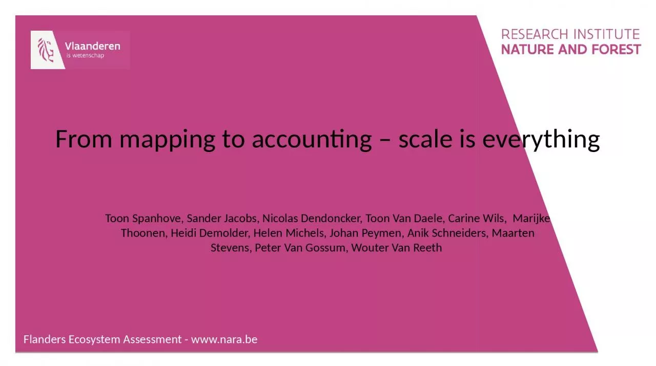
From mapping to accounting scale is everything Toon Spanhove Sander Jacobs Nicolas Dendoncker Toon Van Daele Carine Wils Marijke Thoonen Heidi Demolder ID: 1029904
Download Presentation The PPT/PDF document "Flanders Ecosystem Assessment - www.n..." is the property of its rightful owner. Permission is granted to download and print the materials on this web site for personal, non-commercial use only, and to display it on your personal computer provided you do not modify the materials and that you retain all copyright notices contained in the materials. By downloading content from our website, you accept the terms of this agreement.
1. Flanders Ecosystem Assessment - www.nara.beFrom mapping to accounting – scale is everythingToon Spanhove, Sander Jacobs, Nicolas Dendoncker, Toon Van Daele, Carine Wils, Marijke Thoonen, Heidi Demolder, Helen Michels, Johan Peymen, Anik Schneiders, Maarten Stevens, Peter Van Gossum, Wouter Van Reeth
2. Flanders Ecosystem Assessment - www.nara.be“what do we need for proper mapping of multiple ecosystem services and respective practical applications?”
3.
4. Goals of ES assessmentsBroader goal of sustainable and equal use of nature’s resourcesConcrete goal of (mapping and) assessment: 2014Concrete goal of accounting the (economic) value of ES: 20202020 is nearing: what maps are out there already?Ingeniously combined data layers, scientifically soundProxy-based extrapolations, practically applicableAccounting requires repeated scientific assessment in realistic and comparable units.Flanders Ecosystem Assessment - www.nara.be
5. Flanders Ecosystem Assessment - www.nara.beScale effectAggregation effectModifiable Area Unit Problem “MAUP” a.k.a. Ecological FallaciesGehlke, C. and Biehl, K., 1934. Certain Effects of Grouping Upon the Size of the Correlation Coefficient in Census Tract Material, Journal of American Statistical Association, 29:169-170.Wrigley, N., Holt, T., Steel, D., and Tranmer, M. 1996. Analysing, modelling, and resolving the ecological fallacy. Pages 25-40 in P. Longley and M. Batty (eds) Spatial analysis: modelling in a GIS environment. Cambridge: GeoInformation International.Openshaw, S. 1996. Developing GIS-relevant zone-based spaital analysis methods. Page 55-73 in P. Longley and M. Batty (eds) Spatial analysis: modelling in a GIS environment. Cambridge: GeoInformation International.http://giscollective.org/geographic-data-assumptions-maup-and-ecological-fallacies/
6. ES maps based on biophysical dataSoil textureClimate…Land UseDistance rulesRegionsINPUT MAPSGIS “MODEL”ES MAPS
7. 11 / 40 / 114 unitsSeveral area divisions“which ecosystems supply which ES?”“which accounting units are optimal?”Ecosystem (LU) classification
8.
9. How much are these maps alike? Average of absolute value of residuals (%)AREAUNIT
10.
11.
12. Wood productionWaterproductionClimate regulation
13. ConclusionsAccounting must be developped by merging (improving) BF information in repeatable units over time.MAUP generates large effects on the final results and their comparability.Remember… don’t focus on maps only: Flanders Ecosystem Assessment - www.nara.be