/
Plenary session 5:  The usefulness of the ESPON Scientific Platform for policy makers Plenary session 5:  The usefulness of the ESPON Scientific Platform for policy makers

Plenary session 5: The usefulness of the ESPON Scientific Platform for policy makers - PowerPoint Presentation

okelly
okelly . @okelly
Follow
64 views
Uploaded On 2024-01-13

Plenary session 5: The usefulness of the ESPON Scientific Platform for policy makers - PPT Presentation

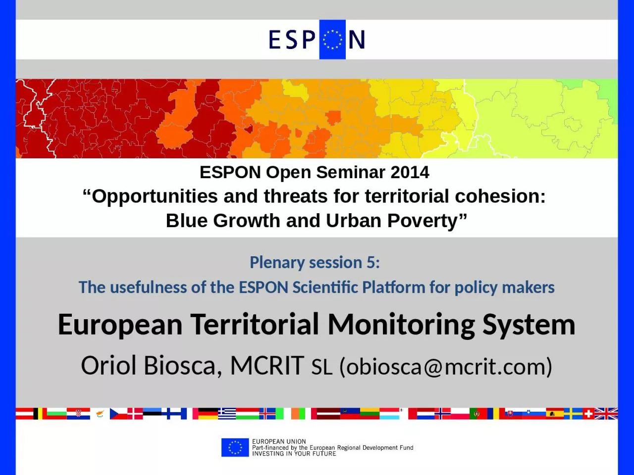
European Territorial Monitoring System Oriol Biosca MCRIT SL obioscamcritcom ESPON Open Seminar 2014 Opportunities and threats for territorial cohesion Blue Growth and Urban Poverty ID: 1040610

rate territorial maps based territorial rate based maps policy birth regional specificities urban data italian espon population dependency territories

Share:

Link:

Embed:

Download Presentation from below link

Download Presentation The PPT/PDF document "Plenary session 5: The usefulness of th..." is the property of its rightful owner. Permission is granted to download and print the materials on this web site for personal, non-commercial use only, and to display it on your personal computer provided you do not modify the materials and that you retain all copyright notices contained in the materials. By downloading content from our website, you accept the terms of this agreement.


Presentation Transcript

1. Plenary session 5: The usefulness of the ESPON Scientific Platform for policy makersEuropean Territorial Monitoring SystemOriol Biosca, MCRIT SL (obiosca@mcrit.com)ESPON Open Seminar 2014 “Opportunities and threats for territorial cohesion: Blue Growth and Urban Poverty”

2. To provide “a continuous monitoring of territorial trends and structures, so to provide policy relevant information to target groups, for specific type of territories, metropolitan regions, cities and towns, in relation to the policy aims and priorities of the Europe 2020 Strategy, EU Cohesion Policy and the TA 2020”.Aim of the European Territorial Monitoring System

3. Partners behind the development of the ETMSMCRIT, BarcelonaUAB. Autonomous University of BarcelonaUNIGE. University of GenevaNordregio, StockholmGISAT, Prague

4. ETMS Web Interface

5. Main Products: State of Territory & Facts&Figures periodic reports

6. Main Service: Interactive data analysis tool by territorial specificities

7. Main Service: Interactive data analysis tool by territorial specificities

8. ETMS IndicatorsAnalysis of current policy debates / issuesEconomyEnvironmentHuman capitalSocial InclusionAccessibilityAround 30 indicators5 Area Topics2000-2012 time seriesIncluding several EU2020 headline indictors

9. Territories with specificities CitiesTransnational Cooperation AreasAnalysis of current policy debates / issuesMaps by types of territoryETMS IndicatorsETMS allows mapping indicators filtering by different territorial typologies and structures Regional typologies (based on NUTS)

10. Selected examples of maps produced with the EMTS

11. DG Regio Urban Rural typology: urban – intermediate - rural1. Maps based on NUTS data by regional typologieseg Birth rate (children per 1000 inhabitants) for “Rural Regions”

12. ESF/ERDF 2014-2020: less developed – transition - more developed1. Maps based on NUTS data by regional typologiesEg. Birth rate (children per 1000 inhabitants) for “Less Developed Regions”

13. EUROSTAT Metropolitan Typology: Capitals - 2nTier – Small Metros1. Maps based on NUTS data by regional typologiesEg Birth rate (children per 1000 inhabitants) for “Capital Cities”

14. Mountain ranges as defined in ESPON GEOSPECS2. Maps for territories with regional specificities (based on LAU)e.g. Old age dependency ratio (% population > 64 / % population 16-64)

15. Islands as defined in ESPON GEOSPECSe.g. Old age dependency ratio (% population > 64 / % population 16-64)2. Maps for territories with regional specificities (based on LAU)

16. e.g. Employment rate (%employed / population 20-64)3. Maps based on data at City level Large Urban Zones - LUZ

17. INTERREG Cooperation Areas 200620124. Maps by Areas of Regional CooperationEg Migrations (persons per year) in the Mediterranean and the Northern Peripheries

18. Analysis of current policy debates / issuesAnalysesRegional typologies (based on NUTS)Territories with specificities CitiesTransnational Cooperation AreasETMS IndicatorsMaps by types of territory

19. Two examples of different territorial resolution in ET1. Benchmark a region against others in the same typologye.g. Old age dependency ratio for Mountain Massifs in Europe

20. Two examples of different territorial resolution in ET1. Benchmark a region against others in the same typologye.g. Old age dependency ratio for Mountain Massifs in Europe

21. 2. Compare selected regions for a given indicator e.g. discontinuities on Birth Rate in the Frenco-Italian border

22. 2. Compare selected regions for a given indicator e.g. discontinuities on Birth Rate in the Frenco-Italian border

23. Italian regionsFrench regions2. Compare selected regions for a given indicator e.g. discontinuities on Birth Rate in the Franco-Italian border

24. 3. To compare 2 indicators on a scatter charte.g. Birth Rate vs Old-Age dependency ratio

25. Italian regionsFrench regions3. To compare 2 indicators on a scatter charte.g. Birth Rate vs ODR in the Frenco-Italian border

26. 4. Time series of indicators by territorial typologiese.g. GDP per capita in different urban/rural areas in Europe

27. Plenary session 5: The usefulness of the ESPON Scientific Platform for policy makersThank youOriol Biosca, MCRIT SL (obiosca@mcrit.com)ESPON Open Seminar 2014 “Opportunities and threats for territorial cohesion: Blue Growth and Urban Poverty”