PPT-Maps Globes

Author : pamella-moone | Published Date : 2017-04-28

Directions Cut out photos and sort onto the chart Maps and Globes

Presentation Embed Code

Download Presentation

Download Presentation The PPT/PDF document "Maps Globes" is the property of its rightful owner. Permission is granted to download and print the materials on this website for personal, non-commercial use only, and to display it on your personal computer provided you do not modify the materials and that you retain all copyright notices contained in the materials. By downloading content from our website, you accept the terms of this agreement.

Maps Globes: Transcript


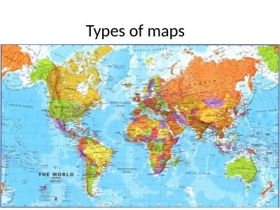
Directions Cut out photos and sort onto the chart Maps and Globes . NameDate Maps and Globes Geographers have many tools to help them learn about Earth.Today Peter A. . Weenink. This presentation…... The old map. The new map. The . InterActive. Maps ( IAM) . on the Internet (online, . wifi. ). I. n October 2014, I visited the . InterGeo. . event in Berlin. While walking through the . and . Compasses. Navigation Tools. Maps. Road maps. GPS (Global positioning system). Altimeter (altitude). Sextant (astronomy) . Watch. Topographic Maps. Compass. Topographic Maps. What's the difference between a topographic map and a regular map?. Mapping America: Every City, Every Block. (link: http://projects.nytimes.com/census/2010/explorer?ref=us).. Map source data come from the Census Bureau's American Community Survey, based on samples from 2005 to 2009. Because these figures are based on samples, they are subject to a margin of error, particularly in places with a low population, and are best regarded as estimates. . Globe. is a three-dimensional scale model of Earth. . Presents the most accurate depiction of geographic information. . Map . is a symbolic representation of all or part of the earth on a flat piece of paper. Maps can be useful in showing small areas in great detail.. It Is a useful classroom mapping tool. It could be used for a geography or History class. URL: http://scribblemaps.com/. What is it used for?. Drawing on . maps. Sharing maps. Importing maps. As a way of presentation. Google Chrome. Use it ( ) for laptops, desktops, etc…. If you’re using a phone, use the Google Maps app. ONLY when both of those things are not available to you…use something else.. Where to start. Why are maps, knowing how to read them, and to draw them (cartography) so important?”. I. What can maps show us?. Your Thoughts (in your notebooks under Roman Numeral I:. Symbols and Abbreviations for Outlining . as Models of the Earth. Raised Relief Globe. Flat Surface Globe. Elevation Map. Flat Map. Non-distorted map. Unfolded globe. Sixth International Conference on e-Learning and Innovative Pedagogies. 15:15 Room 4, 15 November 2013. Universidad Nacional de Educación a Distancia Madrid, Spain. workmanr1@southernct.edu. Robert Workman, Ali Gungor Isiklar, Ezgi Akpinar Ferrand. . Presenter: Alicia McGee. Email: . amcgee@mobilemcps.org. Make a copy of this to take notes!. Maps and Geography . We want students to become global students….. So….. Students should be able to:. . 3. Copy the following definitions:. Geography. - the study of the Earth, people, places and environments.. Map Legend- . gives symbols to represent places on a map. Map Scale- . compares distance on a map to actual distance on the Earth.. Visualizing 3D Surfaces. Carol J. Ormand. , . SERC, Carleton College. Eric Riggs, Texas A&M University. Overview. What do we mean when we talk about “reading” contour maps?. Example: the Topographic Map Assessment. How to read a map. Maps . are pictures of the Earth's . surface. Reference maps . just . show natural features like rivers, cities, political subdivisions and highways. .. Thematic maps . use these items only .

Download Document

Here is the link to download the presentation.
"Maps Globes"The content belongs to its owner. You may download and print it for personal use, without modification, and keep all copyright notices. By downloading, you agree to these terms.

Related Documents