/
Exploring the Basin & Range Province Exploring the Basin & Range Province

Exploring the Basin & Range Province - PowerPoint Presentation

roxanne
roxanne . @roxanne
Follow
65 views
Uploaded On 2023-09-25

Exploring the Basin & Range Province - PPT Presentation

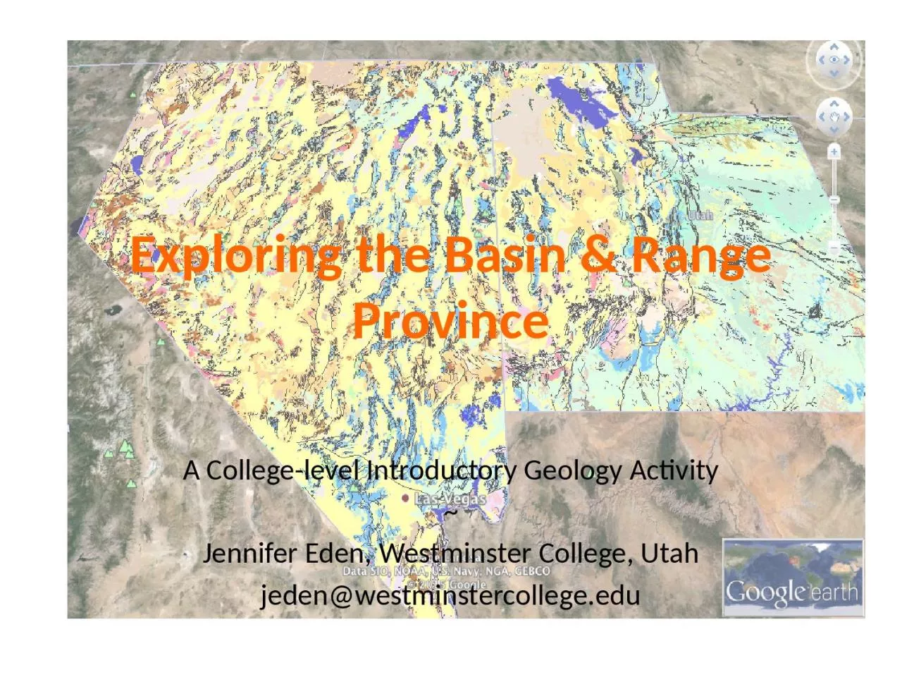
A Collegelevel Introductory Geology Activity Jennifer Eden Westminster College Utah jedenwestminstercollegeedu Goals Use GPS Monuments to quantify the stretching of the Basin and Range Province ID: 1021334

gps data range motion data gps motion range basin velocity based unavco stretching viewer interpret crust normal faulting conclusions

Share:

Link:

Embed:

Download Presentation from below link

Download Presentation The PPT/PDF document "Exploring the Basin & Range Province" is the property of its rightful owner. Permission is granted to download and print the materials on this web site for personal, non-commercial use only, and to display it on your personal computer provided you do not modify the materials and that you retain all copyright notices contained in the materials. By downloading content from our website, you accept the terms of this agreement.


Presentation Transcript

1. Exploring the Basin & Range ProvinceA College-level Introductory Geology Activity~Jennifer Eden, Westminster College, Utahjeden@westminstercollege.edu

2. GoalsUse GPS Monuments to quantify the stretching of the Basin and Range Province.Learn to validate results by evaluating the underlying data including plotting, calculating rate of motion, and adding vectors.Use data to draw conclusions and come up with theories that are supported by the data.Use your conclusions to deduce why stretching of crust leads to Basin and Range geography.Tool - UNAVCO GPS Velocity Viewerhttp://www.unavco.org/software/visualization/GPS-Velocity-Viewer/GPS-Velocity-Viewer.html

3. Interpret Motion Based on Image

4. Look at Specific Monuments

5. Interpret Motion Based on Processed Data

6. Compile Data from GPS Velocity Viewer

7. Data Validation Based on Raw Data for ELKO MonumentRate of north-south motion in mm/dayRate of east-west motion in mm/day

8.

9. Compare to Processed DataDiscussion of assumptions in data analysis and standard deviation.

10. Deductions Based on DataWhat do data indicate about plate motion in the Basin & Range?Stretching about 1.1 mm/yr = 1.1 km/MaComparison with knowledge of how much region has stretched over geologic timeHow does crust “stretch” if it is rigid? It breaks… Lead in to normal faulting and exploration of the Wasatch Fault and its earthquake potential.

11. Other Areas to Explore…Can you use GPS data to assess normal faulting? UNAVCO data weren’t clear on this.Compare Basin and Range to East Africa Rift Valley using GPS data? This didn’t seem straight forward either. Need to look to other data sources.