/
Estimating Ocean Depth by Tsunami Estimating Ocean Depth by Tsunami

Estimating Ocean Depth by Tsunami - PowerPoint Presentation

sadie
sadie . @sadie
Follow
66 views
Uploaded On 2023-10-26

Estimating Ocean Depth by Tsunami - PPT Presentation

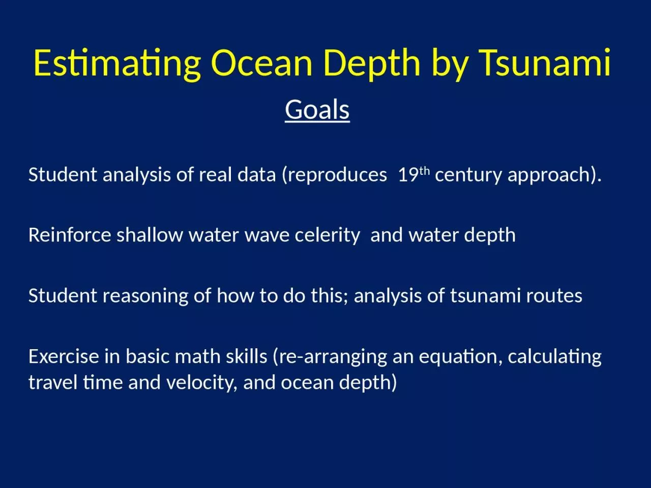
Goals   Student analysis of real data reproduces 19 th century approach   Reinforce shallow water wave celerity and water depth   Student reasoning of how to do this analysis of tsunami routes ID: 1025081

depth water wave ocean water depth ocean wave estimating shallow waves depths pacific tsunami celerity travel analysis student calculating

Share:

Link:

Embed:

Download Presentation from below link

Download Presentation The PPT/PDF document "Estimating Ocean Depth by Tsunami" is the property of its rightful owner. Permission is granted to download and print the materials on this web site for personal, non-commercial use only, and to display it on your personal computer provided you do not modify the materials and that you retain all copyright notices contained in the materials. By downloading content from our website, you accept the terms of this agreement.


Presentation Transcript

1. Estimating Ocean Depth by TsunamiGoals Student analysis of real data (reproduces 19th century approach). Reinforce shallow water wave celerity and water depth Student reasoning of how to do this; analysis of tsunami routes Exercise in basic math skills (re-arranging an equation, calculating travel time and velocity, and ocean depth)

2. Estimating Ocean Depth by TsunamiContext Just after introduction to waves: Lecture and lab on waves, wave types, including calculating and graphing shallow and deep water waves, internal waves, and seiches.

3. Possibly Handy EquationsCelerity of a deep-water wave is C = L/T = 1.25L0.5 = 1.56T   Celerity of a shallow-water wave is  C = (gD)0.5 L = wavelength (meters) T = wave period (seconds)D= water depth (meters)g=acceleration due to gravity (9.8 m sec-2)

4. Estimating Ocean Depth by TsunamiExtrashttp://williams.best.vwh.net/gccalc.htm

5. Tsunami Travel Distances LocationDistance (km)Epicenter61° 6' N 147° 30' W0Whidbey Bay, AK 59° 58' 148° 57' W149Kodiak AK 57° 50' N 152° 30' W461Tofino BC 49° 09' N 125° 54' W1898Crescent City CA 41° 46' N 124° 13' W2661Hilo, HI 19° 44' N 155° 4' W4632Kushiro, Japan43° 00' N 144° 22' E5236Kwajalein, Marshall I.8̊ 45’ N 167̊ 45' E6867La Punta, Peru12° 05' S 77° 10' W10544Sydney, Australia33° 51' S 151° 14' E11887Accounts for “corners”

6. Estimating Ocean Depth by Tsunami

7. SolutionDistance (km)Calc Celerity (m/sec)Calc Water depth (m)Epicenter 0----Whidbey Bay AK149130.71742Kodiak AK461160.12615Tofino BC1898155.12454Crescent City CA2661182.53399Hilo, HI4632238.35793Honolulu, HI4493236.25694Kushiro with corner5236210.34512Kwajalein, Marshall Islands6867227.15262La Punta with corner10544188.03605Sydney, Australia11887192.53783

8. Analysis of ValuesHere is what I seeEpicenter to Alaska shallow seafloor/continental shelf British Columbia wave apparently travels close to North America in relatively shallow water Mid-Pacific deepest water depths over very open (Hilo, Kwajalein) ocean (i.e., into center of Pacific) Japan, California, Peru, Sydney Intermediate depths (3300-3800 m) Travel through water depths like those of mid-Pacific but has shallower water on ends to slow wave Average depth ~3600 m

9. Estimating Ocean Depth by TsunamiExtrasI once had a Japanese student ask me to explain what connection tsunamis, as defined, had with waves in harbors, which is apparently its primitive meaning. Kinsman (1965)