Explore
Featured
Recent
Articles
Topics
Login
Upload
Featured
Recent
Articles
Topics
Login
Upload
Search Results for 'day maps'
day maps published presentations and documents on DocSlides.
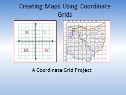
Creating Maps Using Coordinate Grids
by danika-pritchard
A Coordinate Grid . Project. Timeline. Day 1: . ...
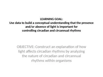
LEARNING GOAL: Use data to build a conceptual understanding that the presence and/or absence of li
by morton
for. controlling . circadian and circannual . rhyt...
Using Google Maps to Study the D-Day Invasion
by kittie-lecroy
By Ruthann Inserra. EDTC 635 Fall 2016. Google Ma...
Social Studies Map review:
by test
Day 1:. Why are the tropics of Cancer and Caprico...
Physical Geography Day 1
by sherrill-nordquist
We will pose and answer geographic questions abou...
Internet marketing environment and specificity of advertisi
by tatiana-dople
Internet. Jennifer Ford). Google Services. Uses. ...
Time Zone Maps Day 13 Early Timekeeping
by mitsue-stanley
Before the invention of clocks, people marked the...
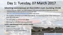
Day 1: Tuesday, 07 March 2017
by pasty-toler
Meeting commences at . the CSIRO main building 08...
Day 1: Tuesday, 07 March 2017
by phoebe-click
Meeting commences at . the CSIRO main building 08...
A New Proton Low Altitude Radiation Belt (LARB) Model
by paige
D. . Heynderickx. DH Consultancy, Leuven, Belgium....
For maps and directions go to
by danya
http://stanfordhealthcare.org/ ctvirtualcolonoscop...
Ottoman Empire Map Activity
by calandra-battersby
Students will be able to . track the expansion of...
Time Zone Maps
by yoshiko-marsland
Day 13. Early Timekeeping. Before the invention o...
International Map Year and
by lois-ondreau
Construction of its Homepage. Bengt Rystedt, Fer...
Kiev, Ukraine
by sherrill-nordquist
By Ryan Johansen. Kiev can also be spelled Kyiv. ...
Load More...