Explore
Featured
Recent
Articles
Topics
Login
Upload
Featured
Recent
Articles
Topics
Login
Upload
Search Results for 'dem water'
dem water published presentations and documents on DocSlides.
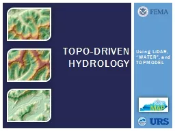
Using
by liane-varnes
LiDAR. , “WATER”, and TOPMODEL. TOPO-Driven H...
A GIS Flood Tool for Mapping Extent of Inundation
by cheryl-pisano
James Verdin. USGS Earth Resources Observation an...
Storm Tide and Flooding
by pasty-toler
from Hurricane Sandy In New York City. Xing Zheng...
Update from Australia
by lois-ondreau
A Land of Droughts and Flooding Rains. David Lemo...
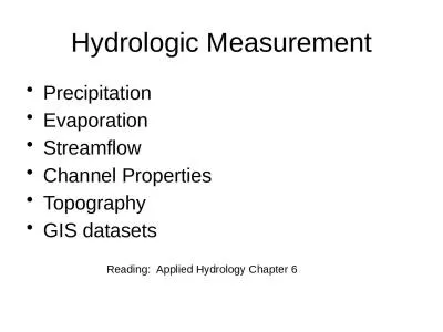
Hydrologic Measurement Precipitation
by ida
Evaporation. Streamflow. Channel . Properties. Top...
Citation: Park, J., F.
by elena
Krogstad. , J. Fridley and L. M. . Moskal, . 2009....
E mergency P reparedness
by TootsieWootsie
. for. . i. sland. . c. ounty. Eric Brooks, dire...
High Accuracy Helicopter Lidar & Mapping
by natalia-silvester
Jeffrey B. Stroub, CP,RLS,PPS,SP. Vice President ...
Load More...