Explore
Featured
Recent
Articles
Topics
Login
Upload
Featured
Recent
Articles
Topics
Login
Upload
Search Results for 'lidar data'
lidar data published presentations and documents on DocSlides.
Raster lidar data visualizations for
by tatiana-dople
interpretation. . of. . microrelief. . structu...
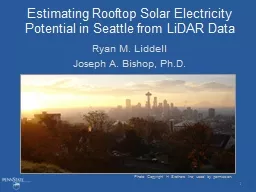
Estimating Rooftop Solar Electricity Potential in Seattle from LiDAR Data
by pamella-moone
Ryan M. Liddell. Faculty advisor: Dr. Joe Bishop....
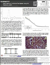
LiDAR Analysis of Mixed-Species, Multi-Cohort Stands
by tatyana-admore
Dr. John A. Kershaw, Jr.. Western . M. ensuration...
LiDAR Cave Mapper
by alexa-scheidler
FAMU-FSU College of Engineering. ME & ECE Sen...
LiDAR Cave Mapper
by calandra-battersby
FAMU-FSU College of Engineering. ME & ECE Sen...
THE LIGHT FANTASTIC USING AIRBORNE LIDAR IN ARCHAEOLOGICAL SURVEY S
by cheryl-pisano
Crutchley Aerial Survey Investigation Research D...
LiDAR
by alexa-scheidler
Compressor 1.1. Compression. Lossless. 25. % or s...
Minnesota LiDAR: Minnesota
by danika-pritchard
LiDAR. Wednesday , November 4. th . 2015, 1:00 pm...
Using LiDAR Data to Automatically Delineate Sinkholes in So
by natalia-silvester
Nate Green and Jacob Hartle. Forest and Natural R...
Community-wide urban stormwater planning utilizing LiDAR, the WinSLAMM model and GIS
by cheryl-pisano
Dan Murphy. Rebecca Gronewold. UNI GeoTREE Center...
FPGA Programming for Real Time Analysis of Lidar
by lindy-dunigan
Systems. Dr. Sameh Abdelazim. Assistant Professor...
LiDAR Enhanced Forest Inventory in British Columbia
by chaptoe
Challenges and Opportunities. By. Xiaoping Yuan. F...
Kentucky Aerial Photography and Elevation Data Program - KYAPED
by pasty-toler
National Height Mod Partner Meeting. M. ay 1, 201...
Kentucky Aerial Photography and Elevation Data Program - KY
by myesha-ticknor
National Height Mod Partner Meeting. M. ay 1, 201...
Processing Terrain Data in the River Proximity
by pasty-toler
Arc Hydro River Workshop. December 1, 2010. Erin ...
Status of t he ADM-Aeolus wind
by doggcandy
lidar. . mission. A.G. . Straume. 1. , . A. . Elf...
Comparison of
by test
lidar. water vapor measurements at Fixed PISA 2....
The Robot Revolution
by alexa-scheidler
has been Postponed. (until we can debug the senso...
Catherine Myers, PE University of Portland
by yoshiko-marsland
Shiley School of Engineering. Portland Oregon. Fo...
Assessing the Vulnerability of the Telecommunications Network to Impacts from Climate Change: Focus
by karlyn-bohler
Trevelyn Potter. Dr. Patrick Halpin, Advisor. Cli...
A View From Afar: The Use of Remote Sensing
by jane-oiler
Technologies to Examine Hopewell . Sites in Ohio ...
Techniques for Improving Water Vapor Trend Detection Using Raman Lidar
by jane-oiler
Techniques for Improving Water Vapor Trend Detect...
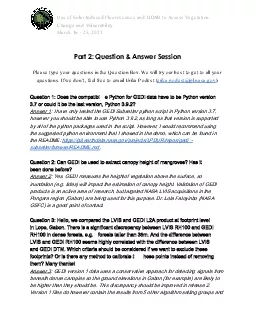
Use of Solar Induced Fluorescence and LIDAR to Assess Vegetation
by barbara
Change and VulnerabilityMarch 16 25 2021Part 2 Que...
The Status of
by jovita
Vegetation Lidar MOLITadashi Imaia Rei Mitsuhashia...
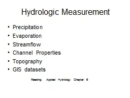
Hydrologic Measurement
by myesha-ticknor
Precipitation. Evaporation. Streamflow. Channel ....
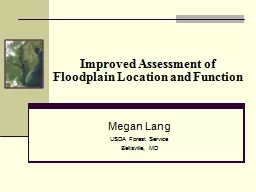
Improved Assessment of Floodplain Location and Function
by briana-ranney
Megan Lang. USDA Forest Service. Beltsville, MD. ...
Monitoring Forest Management Activities using Airborne
by briana-ranney
LiDAR. and ALOS PALSAR. Akira Kato. 1. , Manabu ...
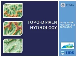
Using
by liane-varnes
LiDAR. , “WATER”, and TOPMODEL. TOPO-Driven H...
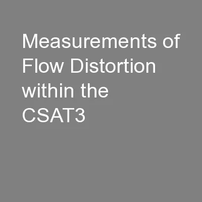
Measurements of Flow Distortion within the CSAT3
by lindy-dunigan
Sonic Anemometer. T.W. Horst. . and S.R. . Semme...
Estimating Rooftop Solar Electricity Potential in Seattle f
by kittie-lecroy
Ryan M. Liddell. Joseph A. Bishop, Ph.D.. Photo C...
Kavaya
by myesha-ticknor
1. Flight Results of the Langley DAWN Coherent Wi...
An Introduction to Radar and Lidar Remote Sensing
by conchita-marotz
Credit to: Weile Wang. Gustav Klimt (1862-1918), ...
Citation:
by debby-jeon
Vaughn, N. and L.M. . Moskal. , 2011. Identificat...
Tiffany L. Caudle, Thomas A. Tremblay, Jeffrey G. Paine, Jo
by marina-yarberry
Bureau of Economic Geology. Jackson School of Geo...
T ropospheric
by conchita-marotz
O. zone . L. idar . Net. work (. TOLNet. )- . Lon...
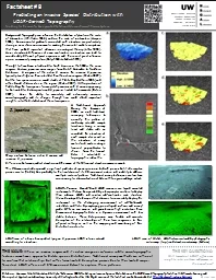
Predicting an Invasive Species’ Distribution with
by celsa-spraggs
LiDAR-derived Topography. Citation: . Hannam, M.,...
Elevate Accuracy and Efficiency with Lidar Surveys: Precision Mapping and Data Insights
by garudsurvey
Lidar surveys are a game-changer for precision map...
USDA Forest Service, Remote Sensing Applications Center,
by queenie
FSWeb: http://fsweb.rsac.fs.fed.us. WWW: http://ww...
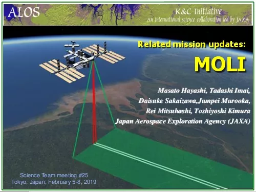
Masato Hayashi Tadashi Imai
by kimberly
Daisuke SakaizawaJumpeiMurookaRei Mitsuhashi Toshi...
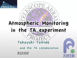
Atmospheric Monitoring
by sylvia
in . the. TA experiment. Takayuki . Tomida. . an...
Load More...