Explore
Featured
Recent
Articles
Topics
Login
Upload
Featured
Recent
Articles
Topics
Login
Upload
Search Results for 'raster'
raster published presentations and documents on DocSlides.
Raster Graphics 2.01 Understand Digital Raster Graphics
by celsa-spraggs
Raster Graphics. Also called . bitmap . graphics ...
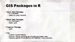
Understanding Vector and Raster
by liane-varnes
DataTitle. Larry C. . Shubat. Professor. The Univ...
Working with Raster Grids and Map Algebra
by mitsue-stanley
Katherine Paybins, USGS. Basic Ingredien. ts. Gri...
S patial Analysis: Raster
by marina-yarberry
Rasters. are . beautiful.. Rasters. don’t dep...
Raster Analysis
by test
Apr. 5. th. , 2017. Wenwen Zhang. CP6514/Spring 2...
Raster GIS
by marina-yarberry
Objectives. To review the definition of raster GI...
Compressing Imagery and Building a Raster Mosaic Dataset
by sherrill-nordquist
Ken Carrier, . GISP. Senior GIS Specialist. Strat...
A Summary of Some Key Points from Chapters
by daisy
1 and 2 of Peterson. On page 1 Peterson indicates ...
Living up to the Hype(- rion
by byrne
)! – observations on ion microprobe geochronolog...
Rastor vs Vector Higher Graphics
by solidbyte
Miss Airlie . What will we learn?. I will learn ab...
Digital Graphics (Unit 19.1/54.1)
by marina-yarberry
Introduction. In digital media, there are differe...
NHD Plus V2 Raster Components:
by lois-ondreau
Catchments and Related Raster Components. . . ...
Chapter 6 Raster Editing
by karlyn-bohler
© 2013 . Cengage. Learning. All Rights Reserved...
Preinjectors Status D. Raparia
by myesha-ticknor
May . 23. . , 2017. Time Meeting. EBIS. . NSRL ...
Preinjectors Status D. Raparia
by tatiana-dople
May . 30. . , 2017. Time Meeting. EBIS. NSRL ru...
Images, spatial data and
by sherrill-nordquist
matlab. Data. types and storage:. Vector data. -...
Intro to Spatial Analysis with
by luanne-stotts
What can we do with GIS?. SPATIAL STATISTICS. Wha...
Glacial Lake Outburst Floods in the Nepal Himalaya
by alexa-scheidler
Jonathan M. . Lala. December 1, 2016. CE 394K.3...
2014 ESIP Summer Meeting
by alida-meadow
July 8–11, 2014 . |. Frisco, Colorado. Advanci...
Trends in DBMS
by trish-goza
Learning Objectives. After this segment, students...
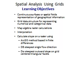
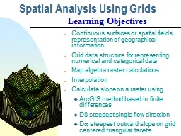
Spatial Analysis Using Grids
by giovanna-bartolotta
Continuous surfaces or spatial fields representat...
Working with the Raster Calculator | Page
by kittie-lecroy
1 Working with the Raster Calculator The Raster Ca...
Spatial Analysis Using Grids
by trish-goza
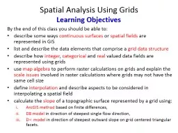
By the end of this class you should be able to: ....
What is needed?
by liane-varnes
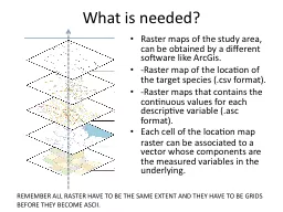
Raster maps of the study area, can be obtained by...
Computer Graphics- SCC 342
by ellena-manuel
Chapter 2: . Computer Graphics Hardware. Dr. Doa...
AGIC 2015
by lindy-dunigan
Education & Training Symposium. September . 2...
Printing 101
by calandra-battersby
SWHIG Seminar. Ian Kim. 1/18/12. General overview...
Spatial Analysis Using Grids
by test
Continuous surfaces or spatial fields representat...
RNR 419/519
by yoshiko-marsland
Introduction to . Cartographic Modeling . Analysi...
Georeferencing
by luanne-stotts
images and scanned maps. Basics. With support fr...
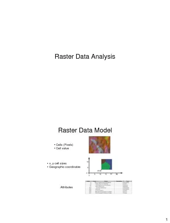
Raster Data Analysis
by pamella-moone
1 Raster Data Model • Cells (Pixels) Ȃ...
Geographic Information Systems
by ellena-manuel
Department of Surveying and . Geomatics. By Shoko...
Esri’s ArcGIS Enterprise
by luna
IT4GIS. Keith T. Weber, GISP. GIS Director. ISU-GI...
Display CMSC 435/634 1 Light
by ceila
Visible Range: 390-700nm. Luminance has large dyna...
Raster Scan CRT Monitors
by patricia
BY. PEERMOHAMED.A MCA.,SET. ASST.PROF OF INFORMATI...
Computer Graphics Chapter 1
by priscilla
Third Lecture. 4. . Raster Graphics. An image that...
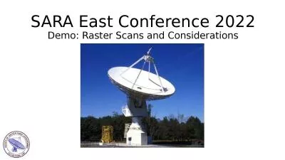
SARA East Conference 2022
by naomi
Demo: Raster Scans and Considerations. Agenda. 20m...
Planet Earth Modeling Prof.
by eddey
E.Omodeo. e Prof. . C.Braitenberg. Images . analy...
1 Vegetation Modeling Outline
by brianna
2. Model types. Predictive models. Predictor data....
Using Satellite Data in
by emery
GIS. NOAA . Coastwatch. Satellite Course. Version...
Load More...