Search Results for 'water map'
water map published presentations and documents on DocSlides.
Mapping South Carolina Drinking Water Quality for Alignment with Health-Record Databases in Epidemi
by Mermaid
David Ladner, Katherine . Holtmann. , . Rawya. Al...
Vulnerability map of the Edwards Aquifer
by trish-goza
Rami . Harfouch. November 2009, Austin. The Edwar...


Mapping water availability & changes in water consumption patterns in Texas river basins due to
by giovanna-bartolotta
Paras Vaid. MS- Civil & Environmental Enginee...
How to create Nitrate Leaching Potential
by briana-ranney
(. WA) Maps and Reports from Web Soil Survey. htt...

Subsidence Mapping in Harris County, Texas
by trish-goza
Taryn. . Tigges. CE 394K – GIS in Water Resour...
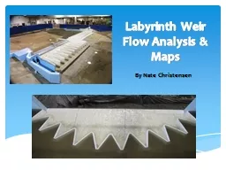
Labyrinth Weir Flow Analysis & Maps
by stefany-barnette
By Nate Christensen. Introduction -. Lake Brazos ...
Monitoring, Mapping and Institutionalising Data
by tawny-fly
Rexson. L. . Keingo. : District Supervisor, . Wa...
Unmanned System for Hydrography
by yoshiko-marsland
Rob Downs, Office of Coast Survey. rob.downs@noaa...
How to create Nitrate Leaching Potential
by faustina-dinatale
(. WA) Maps and Reports from Web Soil Survey. htt...
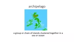
archipelago a group or chain of islands clustered together in a sea or ocean
by natalia-silvester
bodies of water. Water in different sizes and sha...
GIS in Water Resources Midterm Review 2018
by cheryl-pisano
Blooms Taxonomy of Educational Objectives. 2. Com...
L09 - Pokémon 1 UnorderedMapInterface.h
by min-jolicoeur
L09-Maps and Sets. 2. //**** YOU MAY NOT MODIFY T...
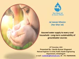
19 th December, 2020 Presented By : Harish Kumar
by gagnon
Hingorani. Retired Engineer-in-Chief, Public Healt...
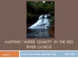
Mapping Water Quality in the Red River Gorge
by danika-pritchard
Jacob . VanWinkle. and Esta Day GEO 509. 05...

USGS Kentucky Water Science Center
by pamella-moone
Potential . CHIA. application for . WATER. (. W....
Part I: GIS Tools for Water Planners
by lois-ondreau
and. Part II: Sierra Nevada Conservancy . GIS Wat...
Aquifer Mapping of Ground Water Resources, an initiative of
by lindy-dunigan
INDIA@COP22. Sustainable Lifestyle = Positive Cli...
EGRET Fellows Program Exploring the Geographical Region and Ecosystems of the Tar-Pamlico Watershed
by karlyn-bohler
SUMMER INSTITUTE. June 23-25, 2015. Presented by....
Planning for Change Laurna Kaatz, Climate Program Director, Denver Water
by sterialo
UNESCO. November 7, 2019. Note: each line is a yea...
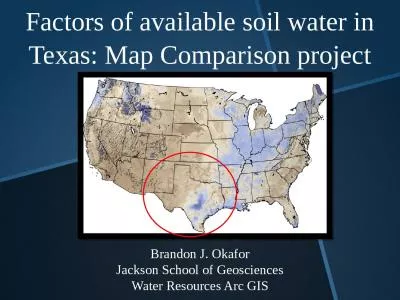
Factors of available soil water in Texas: Map Comparison project
by harmony
Brandon J. . Okafor. Jackson School of Geosciences...
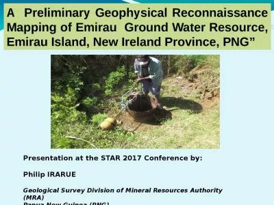
A Preliminary Geophysical Reconnaissance Mapping of Emirau Ground Water Resource, Emirau Island,
by roberts
Presentation at the STAR 2017 Conference by:. Phil...

Water UK Leakage Route Map: Innovation Annex
by sage
Meeting the challenges of the route map will requi...

Our chapter was about how Edmund Cooper created the map and
by debby-jeon
.. The Ghost Map. Chapter 8:“The Ghost Map”. ...
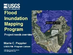
A GIS Flood Tool for Mapping Extent of Inundation
by cheryl-pisano
James Verdin. USGS Earth Resources Observation an...
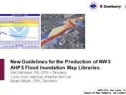
Mat Mampara, PE, CFM – Dewberry
by olivia-moreira
Victor Hom, National Weather Service. Stuart Geig...
Advanced Methods of Underground Utility Data Collection
by marina-yarberry
Matthew . Miley. . City of Lorain. @. Matthew_Mi...

Chapter 9 9.5 Implementation Considerations for the
by luanne-stotts
hash_map. 1. Attendance Quiz #32. Associative Con...