PDF-www.themilepost.com
Map
97
4
1
1
37
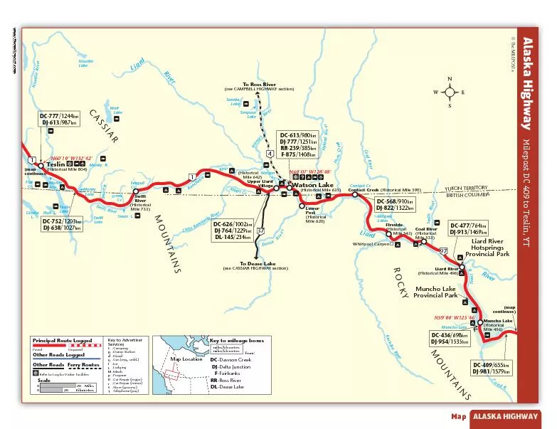
To Dease Lakesee CASSIAR HIGHAY sectionMuncho LakeMuncho LakeProvincial ParkAIBMULOC HSITIRBWatson Lake Historical Mile 635
DC409655kmDJ9811579kmMuncho
Download Presentation
"www.themilepost.com" is the property of its rightful owner. Permission is granted to download and print materials on this website for personal, non-commercial use only, provided you retain all copyright notices. By downloading content from our website, you accept the terms of this agreement.
Presentation Transcript
Transcript not available.