Development of Maryada Purushottam Shriram Airport
Author : jane-oiler | Published Date : 2025-08-13
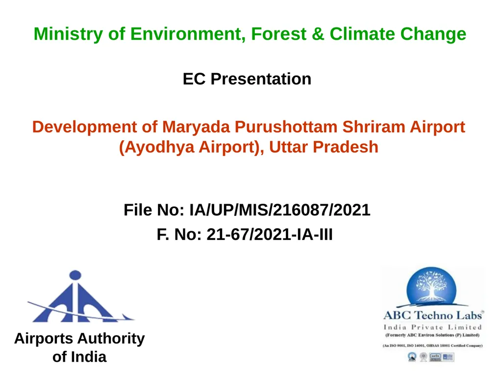
Description: Development of Maryada Purushottam Shriram Airport Ayodhya Airport Uttar Pradesh Airports Authority of India Ministry of Environment Forest Climate Change EC Presentation File No IAUPMIS2160872021 F No 21672021IAIII 2
Presentation Embed Code
Download Presentation
Download
Presentation The PPT/PDF document
"Development of Maryada Purushottam Shriram Airport" is the property of its rightful owner.
Permission is granted to download and print the materials on this website for personal, non-commercial use only,
and to display it on your personal computer provided you do not modify the materials and that you retain all
copyright notices contained in the materials. By downloading content from our website, you accept the terms of
this agreement.
Transcript:Development of Maryada Purushottam Shriram Airport:
Development of Maryada Purushottam Shriram Airport (Ayodhya Airport), Uttar Pradesh Airports Authority of India Ministry of Environment, Forest & Climate Change EC Presentation File No: IA/UP/MIS/216087/2021 F. No: 21-67/2021-IA-III 2 Accredited Environment Consultant ABC Techno Labs India Private Limited No. 400, 13th Street, SIDCO Industrial Estate (North Phase), Ambattur, Chennai – 600 098. S. No : 04 (Sector No 28 - Airports) As per List of Accredited EIA Consultant Organizations (as on Oct 11, 2018), MOEF&CC website. Background Maryada Purushottam Shriram Airport is an upcoming International airport in Ayodhya city that will be upgraded from the existing government airstrip, Existing: Current government airstrip is spread over an area of 177.62 acres (71.88 ha). About 170 acres (68.79 ha) of additional land will be utilized for the proposed project which has already been handed over by the district administration. TOR for proposed works at the Proposed Airport was finalized by MOEF&CC vide letter F. No. 21-67/2021-IA-III Dated 14 August, 2021. Based on revised proposal Public Hearing was conducted by Uttar Pradesh Pollution Control Board on 20th September 2021. 3 2. Location of the project The proposed project site is located at Dharampur Sahadat, Firozpur, Ganja, Janaura, Kushmaha, Nandapur, Pure Husan Khan, Sarethi villages of Faizabad Taluk and Faziabad District. Geographical location: Latitude : 26°44'55.58"N to 26°45'22.25"N Longitude : 82° 8'35.94"E to 82° 9'39.62"E Altitude : 99 - 106 m above MSL 4 Satellite Imagery showing the Project Site 5 10 km Toposheet - study area 6 Proposed Project Site Layout 7 3. Project/ activity covered under item of Schedule to the EIA Notification, 2006 and Category 7(a) Category – A 4. In case of Category B project/activity- Reason for appraisal at the Central level Proposed project belong to Category – A. 5. Project Brief: Nature of proposal (new/expansion,) total area- land use, project components, connectivity to the site etc: 8 Land use pattern/ Total plot area/ built up area Land use pattern : Barren/ Unculturable/ Waste land. Total area of the project site : 140.67 ha (347.60 Acres). Total water requirement and its source, Ground water withdrawal approval from CGWA, if any Total water requirement : 35 KLD Source : Ayodhya Municipal Corporation Waste water generation, treatment and disposal Generation : 21 KLD of sewage Treatment : MBBR based Sewage Treatment plant Disposal : Used for flushing and green belt development at Maryada Purushottam Shriram Airport 9 Municipal solid waste generated