Geospatial Data Act: Impacts to Usage of WGS84 and
Author : cheryl-pisano | Published Date : 2025-05-29
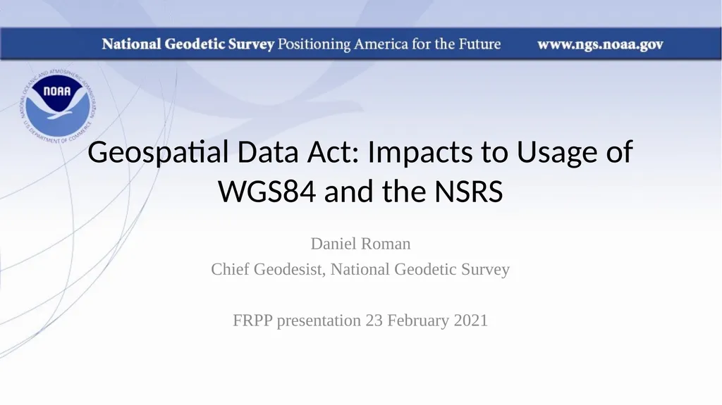
Description: Geospatial Data Act Impacts to Usage of WGS84 and the NSRS Daniel Roman Chief Geodesist National Geodetic Survey FRPP presentation 23 February 2021 Geospatial Data Act of 2018 The Geospatial Data Act of 2018 GDA was signed into law on
Presentation Embed Code
Download Presentation
Download
Presentation The PPT/PDF document
"Geospatial Data Act: Impacts to Usage of WGS84 and" is the property of its rightful owner.
Permission is granted to download and print the materials on this website for personal, non-commercial use only,
and to display it on your personal computer provided you do not modify the materials and that you retain all
copyright notices contained in the materials. By downloading content from our website, you accept the terms of
this agreement.
Transcript:Geospatial Data Act: Impacts to Usage of WGS84 and:
Geospatial Data Act: Impacts to Usage of WGS84 and the NSRS Daniel Roman Chief Geodesist, National Geodetic Survey FRPP presentation 23 February 2021 Geospatial Data Act of 2018 The Geospatial Data Act of 2018 (GDA) was signed into law on October 5, 2018. The GDA is now in U.S. Code, Title 43 – Public Lands, Chapter 46: GEOSPATIAL DATA Continues the previous structure (FGDC, NGAC) Further details are found at: https://www.fgdc.gov/gda Does not drill down deeper (e.g., WG’s and subcommittees) Defers to FGDC WG’s to re-affirm structure Sets several tasks for the FGDC and US Departments GDA - Section 757: Geospatial Data Standards This section requires the FGDC to establish standards for each of the NGDA data themes, including rules, conditions, guidelines, and characteristics, and also establishes content standards for metadata. These standards are required to be consistent with international standards to the maximum extent practicable and be periodically reviewed and updated … GDA – Section 759A. Limitation on Use of Federal Funds This section prohibits the use of federal funds by a covered agency for the collection, production, acquisition, maintenance, or dissemination of geospatial data that does not comply with applicable standards established under Section 757, as determined by the FGDC. The prohibition under this section will be effective five years from the date on which standards for each NGDA theme are established by the FGDC. GDA of 2018 – Timeline of Completed Items 2018-2019 - Tiger Teams 2020 – completed items Inspectors General Audit Reports Required by GDA Section 759 Completed during first half of 2020 NGDA Baseline Standards Inventory Required by GDA Section 756 2021-2024 NSDI Strategic Plan Required by GDA Section 755 2020 FGDC GDA Report to Congress – Phase 1 Progress report Global Geodetic Reference Frame Roadmap ISO/OGC Standards GDA NOAA CORS Network FGDC/FGCS Standards Table 14. Geodetic Control Theme Standards. ISO 19127/19135/19161 are all on the list. They tell NGS that the NSRS should be linked to the ITRS (it is), and that NGS should codify our datums and put them in the ISO Geodetic Registry (they mostly are). Table 25: Structure Accuracy Standards These standards apply to all US Government agencies for collection and determination of positioning data (Bluebook) and the organization of the geospatial data. Currently reviewing another ISO Standard that mandates usage of ITRS to implement the NSRS GDA – Timeline of Next Steps 2021 - CA Reports <> Had to